BLUE SKY CARAVANS LTD
BLUE SKY CARAVANS LTD is an active private limited company, incorporated on 14 July 2015. The nature of the business is Other service activities n.e.c.. The company's registered office is on Charterhouse Close, Cheddar. The company's accounts were last made up to 31 July 2022, are next due on 30 April 2024, and fall under the accounts category: Total Exemption Full. BLUE SKY CARAVANS LTD has no previous names. The company has no mortgage charges, outstanding or otherwise.
Company Information
| Company Number | 09684914 |
|---|
| Company Category | Private Limited Company |
|---|
| Company Status | Active |
|---|
| Incorporation Date | 14/07/2015 |
|---|
| Country of Origin | United Kingdom |
|---|
Registered Office
| Address Line 1 | 9 CHARTERHOUSE CLOSE |
|---|
| Post Town | CHEDDAR |
|---|
| Country | UNITED KINGDOM |
|---|
| Postcode | BS27 3XT |
|---|
Accounts
| Accounting Reference Date | 31st July |
|---|
| Accounts Next Due Date | 30/04/2024 |
|---|
| Accounts Last Made Up Date | 31/07/2022 |
|---|
| Accounts Category | TOTAL EXEMPTION FULL |
|---|
Confirmation Statement
| Next Due Date | 27/07/2024 |
|---|
| Last Made Up Date | 13/07/2023 |
|---|
Return
| Next Due Date | 11/08/2016 |
|---|
| Last Made Up Date | Not available |
|---|
Mortgages
| Number of Mortgage Charges | 0 |
|---|
| Number of Outstanding Charges | 0 |
|---|
| Number of Satisfied Charges | 0 |
|---|
| Number of Partially Satisfied Charges | 0 |
|---|
Nature of Business (SIC Codes)
96090 - Other service activities n.e.c.
Company Name History
From incorporation onwards:
BLUE SKY CARAVANS LTD
Directors
(The company's officers)
MR. ANDREW GRANT LINKLATER
(~63 year old British national)
9 CHARTERHOUSE CLOSE, CHEDDAR, SOMERSET, BS27 3XT, ENGLAND
- Current Director
- Gives occupation as INDUSTRIAL DESIGNER
- Usually resident in ENGLAND
Appointed on 14/07/2015
Licence: Supplied under section 47 and 50 of the Copyright, Designs and Patents Act 1988 and Schedule 1 of the Database Regulations (SI 1997/3032)
BLUE SKY CARAVANS LTD: Maps
Maps show the location of the postcode of the registered office, BS27 3XT.
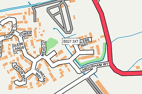
Map of BLUE SKY CARAVANS LTD at local scale
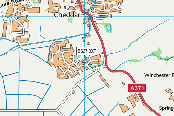
Map of BLUE SKY CARAVANS LTD at district scale