Where is Zeals Row?
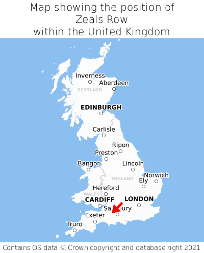
Zeals Row is located in the county of Wiltshire, South West England, two miles west of the town of Mere, 21 miles south of the major city of Bath, 46 miles south-east of Cardiff, and 100 miles west of London. Zeals Row lies just east of the Somerset border. Zeals Row falls within the unitary authority of Wiltshire. It is in the BA12 postcode district. The post town for Zeals Row is Warminster.
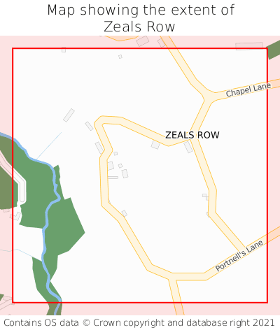
Zeals Row on a map


Which county is Zeals Row in?
Zeals Row is in the ceremonial county of Wiltshire, the historic county of Wiltshire, and the administrative county of Wiltshire.
| Ceremonial County | Wiltshire |
|---|---|
| Historic County | Wiltshire |
| Administrative County | Wiltshire |
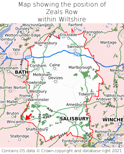
Where is Zeals Row in Wiltshire?
Zeals Row is situated towards the southernmost extremity of Wiltshire, and towards the westernmost extremity of Wiltshire.

What is the postcode for Zeals Row?
The nearest postcode to the centre of Zeals Row is BA12 6PF.
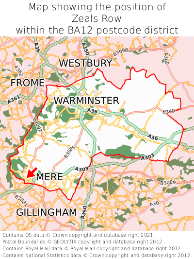
Where is Zeals Row in BA12?
Zeals Row is situated towards the southernmost extremity of the BA12 postcode district, and towards the westernmost extremity of the BA12 postcode district.

What is the post town for Zeals Row?
The post town for Zeals Row is Warminster. Zeals Row is in the BA12 postcode district, which corresponds to the post town of Warminster.
What is the latitude and longitude of Zeals Row?
The centre of Zeals Row is located at position 51.08688° latitude and -2.32503° longitude.
| Latitude | 51.08688° |
|---|---|
| Longitude | -2.32503° |
What is the easting and northing of Zeals Row?
The centre of Zeals Row is located at the grid reference easting 377331 and northing 132002 within the British National Grid (OSGB36) system.
| Easting | 377331 |
|---|---|
| Northing | 132002 |
What are the nearest towns to Zeals Row?
Position of Zeals Row relative to nearby towns. Distance is measured from the centre of Zeals Row to the centre of the town.
What are the nearest cities to Zeals Row?
Position of Zeals Row relative to nearby cities. Distance is measured from the centre of Zeals Row to the centre of the city.