Where is Witton-le-Wear?
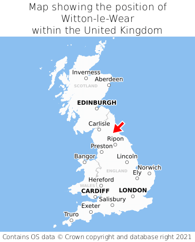
Witton-le-Wear is located in the county of Durham, North East England, three miles south of the town of Crook, 14 miles north-west of the major town of Darlington, 104 miles south-east of Edinburgh, 229 miles north of Cardiff, and 229 miles north of London. Witton-le-Wear falls within the unitary authority of County Durham. It is in the DL14 postcode district. The post town for Witton-le-Wear is Bishop Auckland.
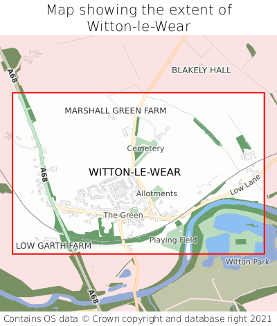
Witton-le-Wear on a map


Which county is Witton-le-Wear in?
Witton-le-Wear is in the ceremonial county of Durham, the historic county of Durham, and the administrative county of County Durham.
| Ceremonial County | Durham |
|---|---|
| Historic County | Durham |
| Administrative County | County Durham |
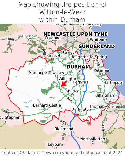
Where is Witton-le-Wear in Durham?
Witton-le-Wear is situated roughly centrally between the southernmost and northernmost extremities of Durham, and roughly centrally between the easternmost and westernmost extremities of Durham.

What is the postcode for Witton-le-Wear?
The nearest postcode to the centre of Witton-le-Wear is DL14 0BG.
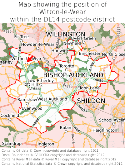
Where is Witton-le-Wear in DL14?
Witton-le-Wear is situated towards the northernmost extremity of the DL14 postcode district, and towards the westernmost extremity of the DL14 postcode district.

What is the post town for Witton-le-Wear?
The post town for Witton-le-Wear is Bishop Auckland. Witton-le-Wear is in the DL14 postcode district, which corresponds to the post town of Bishop Auckland.
What is the latitude and longitude of Witton-le-Wear?
The centre of Witton-le-Wear is located at position 54.67856° latitude and -1.77226° longitude.
| Latitude | 54.67856° |
|---|---|
| Longitude | -1.77226° |
What is the easting and northing of Witton-le-Wear?
The centre of Witton-le-Wear is located at the grid reference easting 414783 and northing 531524 within the British National Grid (OSGB36) system.
| Easting | 414783 |
|---|---|
| Northing | 531524 |
What are the nearest towns to Witton-le-Wear?
Position of Witton-le-Wear relative to nearby towns. Distance is measured from the centre of Witton-le-Wear to the centre of the town.
What are the nearest cities to Witton-le-Wear?
Position of Witton-le-Wear relative to nearby cities. Distance is measured from the centre of Witton-le-Wear to the centre of the city.