Where is Westerleigh?
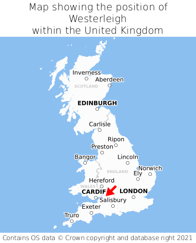
Westerleigh is located in the county of Gloucestershire, South West England, two miles south-west of the town of Yate, eight miles north-east of the major city of Bristol, 32 miles east of Cardiff, and 99 miles west of London. Westerleigh lies four miles east of the Bristol border. Westerleigh falls within the unitary authority of South Gloucestershire. It is in the BS37 postcode district. The post town for Westerleigh is Bristol.
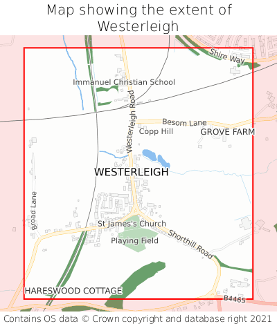
Westerleigh on a map


Which county is Westerleigh in?
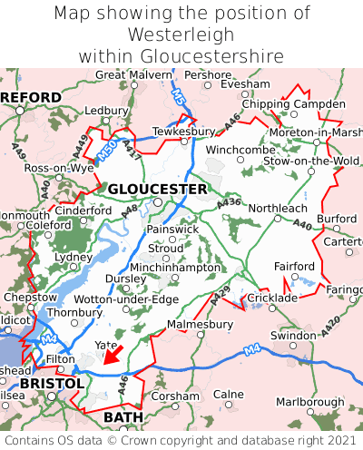
Westerleigh is in the ceremonial county of Gloucestershire, the historic county of Gloucestershire, and the administrative county of South Gloucestershire.
| Ceremonial County | Gloucestershire |
|---|---|
| Historic County | Gloucestershire |
| Administrative County | South Gloucestershire |
Where is Westerleigh in Gloucestershire?
Westerleigh is situated towards the southernmost extremity of Gloucestershire, and towards the westernmost extremity of Gloucestershire.

What is the postcode for Westerleigh?
The nearest postcode to the centre of Westerleigh is BS37 8QH.
Where is Westerleigh in BS37?
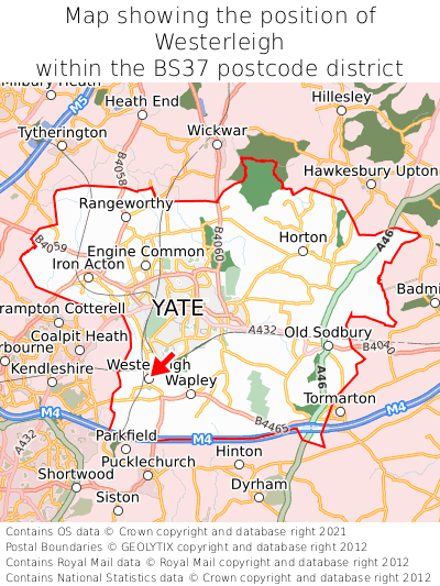
Westerleigh is situated towards the southernmost extremity of the BS37 postcode district, and towards the westernmost extremity of the BS37 postcode district.

What is the post town for Westerleigh?
The post town for Westerleigh is Bristol. Westerleigh is in the BS37 postcode district, which corresponds to the post town of Bristol.
What is the latitude and longitude of Westerleigh?
The centre of Westerleigh is located at position 51.51759° latitude and -2.43432° longitude.
| Latitude | 51.51759° |
|---|---|
| Longitude | -2.43432° |
What is the easting and northing of Westerleigh?
The centre of Westerleigh is located at the grid reference easting 369960 and northing 179942 within the British National Grid (OSGB36) system.
| Easting | 369960 |
|---|---|
| Northing | 179942 |
What are the nearest towns to Westerleigh?
Position of Westerleigh relative to nearby towns. Distance is measured from the centre of Westerleigh to the centre of the town.
What are the nearest cities to Westerleigh?
Position of Westerleigh relative to nearby cities. Distance is measured from the centre of Westerleigh to the centre of the city.