Where is Vats-houll?
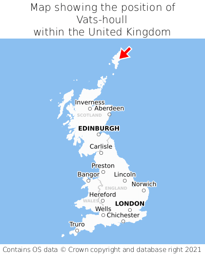
Vats-houll is located in the county of Shetland, Scotland, 16 miles north of the town of Lerwick, 227 miles north of the major city of Aberdeen, 316 miles north of Edinburgh, and 613 miles north of London. Vats-houll falls within the unitary authority of Shetland Islands. It is in the ZE2 postcode district. The post town for Vats-houll is Shetland.
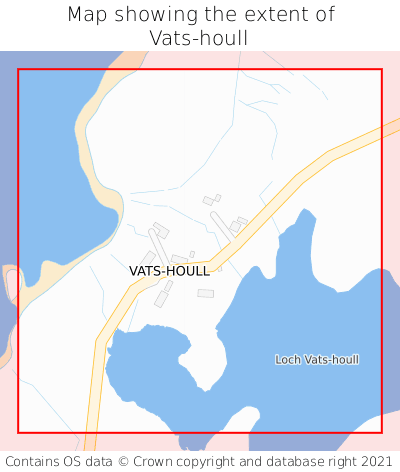
Vats-houll on a map


Which county is Vats-houll in?
Vats-houll is in the ceremonial county of Shetland, the historic county of Shetland, and the administrative county of Shetland Islands.
| Ceremonial County | Shetland |
|---|---|
| Historic County | Shetland |
| Administrative County | Shetland Islands |
Where is Vats-houll in Shetland?
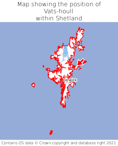
Vats-houll is situated roughly centrally between the southernmost and northernmost extremities of Shetland, and towards the easternmost extremity of Shetland.

What is the postcode for Vats-houll?
The nearest postcode to the centre of Vats-houll is ZE2 9AN.
Where is Vats-houll in ZE2?
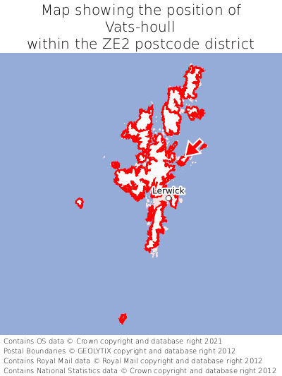
Vats-houll is situated roughly centrally between the southernmost and northernmost extremities of the ZE2 postcode district, and towards the easternmost extremity of the ZE2 postcode district.

What is the post town for Vats-houll?
The post town for Vats-houll is Shetland. Vats-houll is in the ZE2 postcode district, which corresponds to the post town of Shetland.
What is the latitude and longitude of Vats-houll?
The centre of Vats-houll is located at position 60.37251° latitude and -0.96959° longitude.
| Latitude | 60.37251° |
|---|---|
| Longitude | -0.96959° |
What is the easting and northing of Vats-houll?
The centre of Vats-houll is located at the grid reference easting 456927 and northing 1165838 within the British National Grid (OSGB36) system.
| Easting | 456927 |
|---|---|
| Northing | 1165838 |
What are the nearest towns to Vats-houll?
Position of Vats-houll relative to nearby towns. Distance is measured from the centre of Vats-houll to the centre of the town.
What are the nearest cities to Vats-houll?
Position of Vats-houll relative to nearby cities. Distance is measured from the centre of Vats-houll to the centre of the city.