Where is Upper Hambleton?
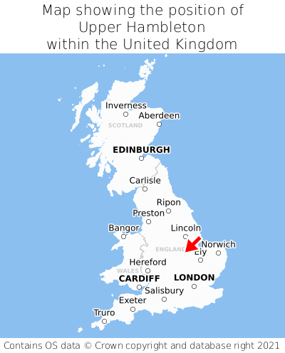
Upper Hambleton is located in the county of Rutland, East Midlands, three miles east of the town of Oakham, 19 miles west of the major city of Peterborough, and 82 miles north of London. Upper Hambleton lies five miles east of the Leicestershire border. Upper Hambleton falls within the unitary authority of Rutland. It is in the LE15 postcode district. The post town for Upper Hambleton is Oakham.
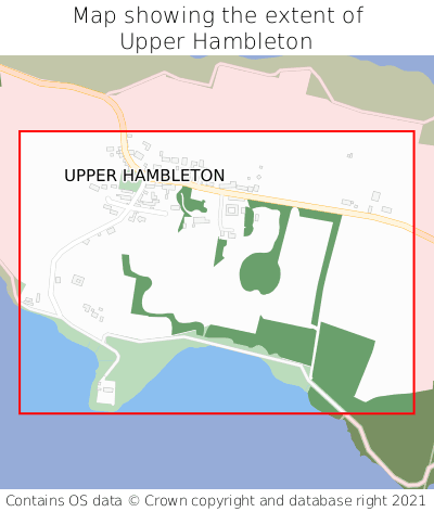
Upper Hambleton on a map


Which county is Upper Hambleton in?
Upper Hambleton is in the ceremonial county of Rutland, the historic county of Rutland, and the administrative county of Rutland.
| Ceremonial County | Rutland |
|---|---|
| Historic County | Rutland |
| Administrative County | Rutland |
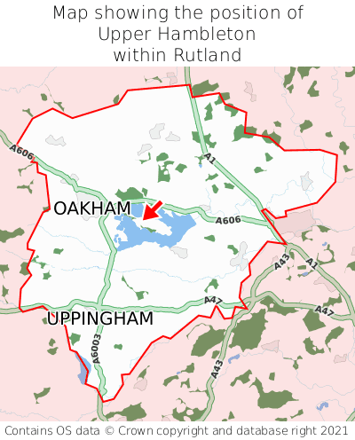
Where is Upper Hambleton in Rutland?
Upper Hambleton is situated roughly centrally between the southernmost and northernmost extremities of Rutland, and roughly centrally between the easternmost and westernmost extremities of Rutland.

What is the postcode for Upper Hambleton?
The nearest postcode to the centre of Upper Hambleton is LE15 8TL.
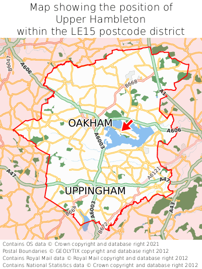
Where is Upper Hambleton in LE15?
Upper Hambleton is situated roughly centrally between the southernmost and northernmost extremities of the LE15 postcode district, and roughly centrally between the easternmost and westernmost extremities of the LE15 postcode district.

What is the post town for Upper Hambleton?
The post town for Upper Hambleton is Oakham. Upper Hambleton is in the LE15 postcode district, which corresponds to the post town of Oakham.
What is the latitude and longitude of Upper Hambleton?
The centre of Upper Hambleton is located at position 52.65862° latitude and -0.67048° longitude.
| Latitude | 52.65862° |
|---|---|
| Longitude | -0.67048° |
What is the easting and northing of Upper Hambleton?
The centre of Upper Hambleton is located at the grid reference easting 490024 and northing 307595 within the British National Grid (OSGB36) system.
| Easting | 490024 |
|---|---|
| Northing | 307595 |
What are the nearest towns to Upper Hambleton?
Position of Upper Hambleton relative to nearby towns. Distance is measured from the centre of Upper Hambleton to the centre of the town.
What are the nearest cities to Upper Hambleton?
Position of Upper Hambleton relative to nearby cities. Distance is measured from the centre of Upper Hambleton to the centre of the city.