Where is Upper End?
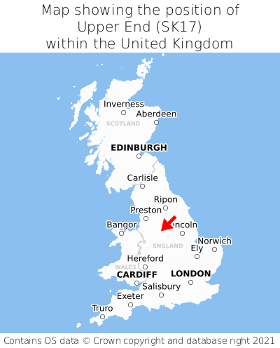
Upper End is located in the county of Derbyshire, East Midlands, three miles north-east of the town of Buxton, 15 miles south-east of the major town of Stockport, 136 miles north-east of Cardiff, and 142 miles north-west of London. Upper End lies six miles north of the Staffordshire border. Upper End falls within the district council of High Peak, under the county council of Derbyshire. It is in the SK17 postcode district. The post town for Upper End is Buxton.
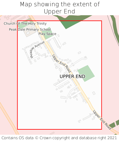
Upper End on a map


Which county is Upper End in?
Upper End is in the ceremonial county of Derbyshire, the historic county of Derbyshire, and the administrative county of Derbyshire.
| Ceremonial County | Derbyshire |
|---|---|
| Historic County | Derbyshire |
| Administrative County | Derbyshire |
Where is Upper End in Derbyshire?
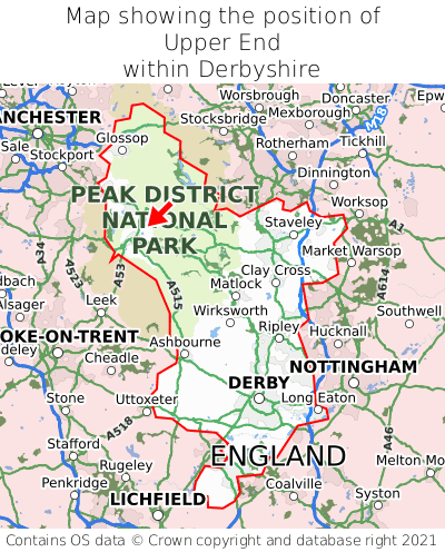
Upper End is situated towards the northernmost extremity of Derbyshire, and towards the westernmost extremity of Derbyshire.

What is the postcode for Upper End?
The nearest postcode to the centre of Upper End is SK17 8AU.
Where is Upper End in SK17?
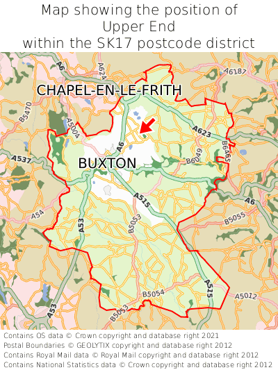
Upper End is situated towards the northernmost extremity of the SK17 postcode district, and roughly centrally between the easternmost and westernmost extremities of the SK17 postcode district.

What is the post town for Upper End?
The post town for Upper End is Buxton. Upper End is in the SK17 postcode district, which corresponds to the post town of Buxton.
What is the latitude and longitude of Upper End?
The centre of Upper End is located at position 53.28178° latitude and -1.86612° longitude.
| Latitude | 53.28178° |
|---|---|
| Longitude | -1.86612° |
What is the easting and northing of Upper End?
The centre of Upper End is located at the grid reference easting 409024 and northing 376097 within the British National Grid (OSGB36) system.
| Easting | 409024 |
|---|---|
| Northing | 376097 |
What are the nearest towns to Upper End?
Position of Upper End relative to nearby towns. Distance is measured from the centre of Upper End to the centre of the town.
What are the nearest cities to Upper End?
Position of Upper End relative to nearby cities. Distance is measured from the centre of Upper End to the centre of the city.