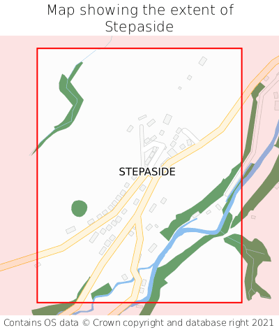
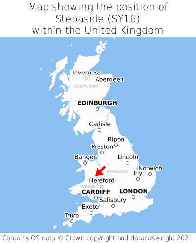
Where is Stepaside?
Stepaside is located in the county of Powys, Wales, two miles south-west of the town of Newtown, 29 miles south-west of the major town of Shrewsbury, 71 miles north of Cardiff, and 153 miles north-west of London. Stepaside lies six miles west of the Shropshire border, and was historically in the county of Montgomeryshire. Stepaside falls within the unitary authority of Powys - Powys. It is in the SY16 postcode district. The post town for Stepaside is Newtown.
Stepaside on a map


Which county is Stepaside in?
Stepaside is in the ceremonial county of Powys, the historic county of Montgomeryshire, and the administrative county of Powys - Powys.
| Ceremonial County | Powys |
|---|---|
| Historic County | Montgomeryshire |
| Administrative County | Powys - Powys |
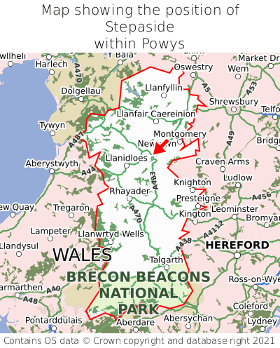
Where is Stepaside in Powys?
Stepaside is situated roughly centrally between the southernmost and northernmost extremities of Powys, and roughly centrally between the easternmost and westernmost extremities of Powys.

What is the postcode for Stepaside?
The nearest postcode to the centre of Stepaside is SY16 4JQ.
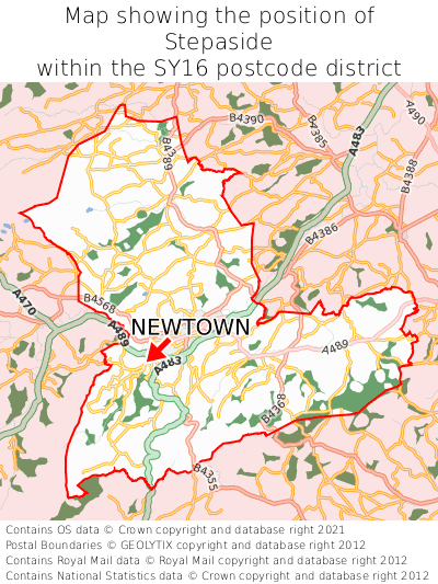
Where is Stepaside in SY16?
Stepaside is situated roughly centrally between the southernmost and northernmost extremities of the SY16 postcode district, and towards the westernmost extremity of the SY16 postcode district.

What is the post town for Stepaside?
The post town for Stepaside is Newtown. Stepaside is in the SY16 postcode district, which corresponds to the post town of Newtown.
What is the latitude and longitude of Stepaside?
The centre of Stepaside is located at position 52.49625° latitude and -3.35129° longitude.
| Latitude | 52.49625° |
|---|---|
| Longitude | -3.35129° |
What is the easting and northing of Stepaside?
The centre of Stepaside is located at the grid reference easting 308359 and northing 289563 within the British National Grid (OSGB36) system.
| Easting | 308359 |
|---|---|
| Northing | 289563 |
What are the nearest towns to Stepaside?
Position of Stepaside relative to nearby towns. Distance is measured from the centre of Stepaside to the centre of the town.
What are the nearest cities to Stepaside?
Position of Stepaside relative to nearby cities. Distance is measured from the centre of Stepaside to the centre of the city.