Where is Spratton?
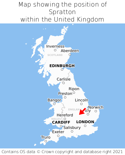
Spratton is located in the county of Northamptonshire, East Midlands, six miles north of the major town of Northampton, and 66 miles north-west of London. Spratton falls within the unitary authority of West Northamptonshire. It is in the NN6 postcode district. The post town for Spratton is Northampton.
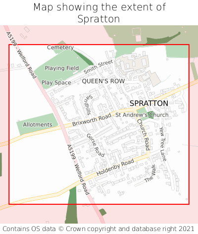
Spratton on a map


Which county is Spratton in?
Spratton is in the ceremonial county of Northamptonshire, the historic county of Northamptonshire, and the administrative county of West Northamptonshire.
| Ceremonial County | Northamptonshire |
|---|---|
| Historic County | Northamptonshire |
| Administrative County | West Northamptonshire |
Where is Spratton in Northamptonshire?
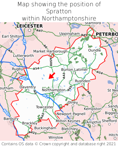
Spratton is situated roughly centrally between the southernmost and northernmost extremities of Northamptonshire, and roughly centrally between the easternmost and westernmost extremities of Northamptonshire.

What is the postcode for Spratton?
The nearest postcode to the centre of Spratton is NN6 8HH.
Where is Spratton in NN6?
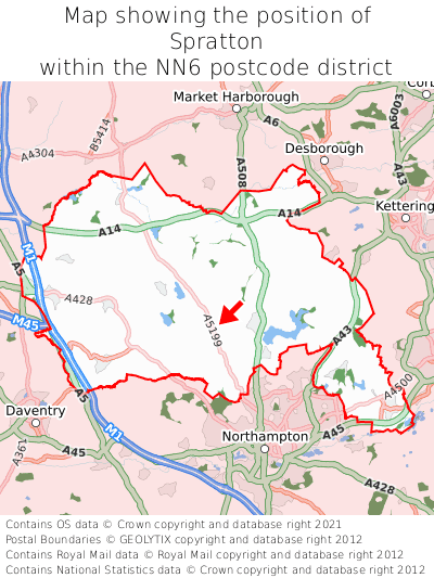
Spratton is situated roughly centrally between the southernmost and northernmost extremities of the NN6 postcode district, and roughly centrally between the easternmost and westernmost extremities of the NN6 postcode district.

What is the post town for Spratton?
The post town for Spratton is Northampton. Spratton is in the NN6 postcode district, which corresponds to the post town of Northampton.
What is the latitude and longitude of Spratton?
The centre of Spratton is located at position 52.32489° latitude and -0.94789° longitude.
| Latitude | 52.32489° |
|---|---|
| Longitude | -0.94789° |
What is the easting and northing of Spratton?
The centre of Spratton is located at the grid reference easting 471802 and northing 270165 within the British National Grid (OSGB36) system.
| Easting | 471802 |
|---|---|
| Northing | 270165 |
What are the nearest towns to Spratton?
Position of Spratton relative to nearby towns. Distance is measured from the centre of Spratton to the centre of the town.
What are the nearest cities to Spratton?
Position of Spratton relative to nearby cities. Distance is measured from the centre of Spratton to the centre of the city.