West Cornforth Primary School
West Cornforth Primary School is located in West Cornforth, Ferryhill (DL17), and offers Grass Pitches.
| Address | High Street, West Cornforth, Ferryhill, DL17 9HP |
| Car Park | Yes |
| Car Park Capacity | 30 |
| Management Type | School/College/University (in house) |
| Management Group | Education |
| Owner Type | Community school |
| Owner Group | Education |
| Education Phase | Primary |
Facilities
| Accessibility | Private Use |
| Management Type | School/College/University (in house) |
| Year Built | 2015 |
| Changing Rooms | Yes |
| Date Record Checked | 7th Dec 2022 |
Opening times
| Access description | Private Use |
|---|
| Opening time | 08:55 |
| Closing time | 15:00 |
| Period open for | Monday-Friday |
Facility specifics
Disabled access
| Disabled Access | Yes |
| Disabled Parking | Yes |
| Finding/Reaching Entrance | Yes |
| Reception Area | Yes |
| Doorways | Yes |
| Activity Areas | Yes |
| Disabled Toilets | Yes |
| Emergency Exits | Yes |
Contact
Disabled access
Disabled access for West Cornforth Primary School
| Disabled Access | Yes |
| Disabled Parking | Yes |
| Finding/Reaching Entrance | Yes |
| Reception Area | Yes |
| Doorways | Yes |
| Activity Areas | Yes |
| Disabled Toilets | Yes |
| Emergency Exits | Yes |
Where is West Cornforth Primary School?
| Sub Building Name | |
| Building Name | |
| Building Number | 0 |
| Dependent Thoroughfare | |
| Thoroughfare Name | High Street |
| Double Dependent Locality | |
| Dependent Locality | West Cornforth |
| PostTown | Ferryhill |
| Postcode | DL17 9HP |
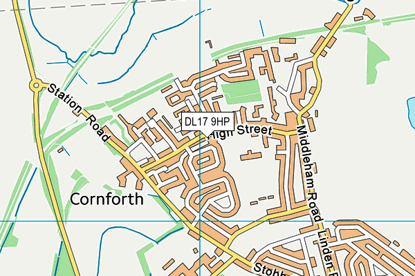
West Cornforth Primary School on a map

West Cornforth Primary School geodata
| Easting | 431134.09 |
| Northing | 534285.13 |
| Latitude | 54.702634 |
| Longitude | -1.518389 |
| Local Authority Name | County Durham |
| Local Authority Code | E06000047 |
| Parliamentary Constituency Name | Sedgefield |
| Parliamentary Constituency Code | E14000915 |
| Region Name | North East |
| Region Code | E15000001 |
| Ward Name | Bishop Middleham and Cornforth |
| Ward Code | E05009039 |
| Output Area Code | E00105531 |
About this data
This data is open data sourced from Active Places Power and licenced under the Active Places Open Data Licence.
| Created On | 15th Oct 2006 |
| Audited On | 7th Dec 2022 |
| Checked On | 7th Dec 2022 |
