Rutland Recreation Ground Track (Closed) - Ilkeston
Rutland Recreation Ground Track (Closed) is located in Ilkeston (DE7).
| Address | West End Drive, Ilkeston, DE7 5GH |
| Car Park | Yes |
| Car Park Capacity | 100 |
| Management Type | Not Known |
| Management Group | Not Known |
| Owner Type | Local Authority |
| Owner Group | Local Authority |
| Education Phase | Not Known |
| Closure Date | 1st Apr 2005 |
| Closure Reason | Unclassified |
Facilities
| Closure Date | 1st Apr 2005 |
| Closure Reason | Unclassified |
| Accessibility | Not Known |
| Management Type | Not Known |
| Year Built | 2003 |
| Changing Rooms | Yes |
| Date Record Checked | 24th Mar 2005 |
| Opening Times | Detailed Timings |
Facility specifics
| Floodlit | Yes |
| Infield Surface Type | Grass |
| Track Surface Type | Synthetic |
Where is Rutland Recreation Ground Track (Closed)?
| Sub Building Name | |
| Building Name | |
| Building Number | 0 |
| Dependent Thoroughfare | |
| Thoroughfare Name | West End Drive |
| Double Dependent Locality | |
| Dependent Locality | |
| PostTown | Ilkeston |
| Postcode | DE7 5GH |
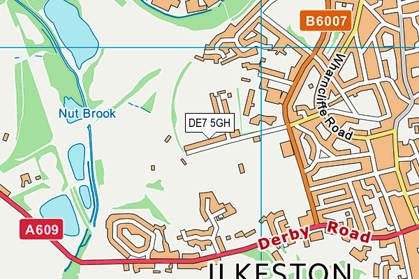
Rutland Recreation Ground Track (Closed) on a map

Rutland Recreation Ground Track (Closed) geodata
| Easting | 445859 |
| Northing | 341632 |
| Latitude | 52.970092 |
| Longitude | -1.318598 |
| Local Authority Name | Erewash |
| Local Authority Code | E07000036 |
| Parliamentary Constituency Name | Erewash |
| Parliamentary Constituency Code | E14000695 |
| Region Name | East Midlands |
| Region Code | E15000004 |
| Ward Name | Little Hallam |
| Ward Code | E05010614 |
| Output Area Code | E00099532 |
About this data
This data is open data sourced from Active Places Power and licenced under the Active Places Open Data Licence.
| Created On | 14th Dec 2014 |
| Audited On | 26th Jan 2015 |
| Checked On | 24th Mar 2005 |
