Raf St Eval (Closed) - St. Eval
Raf St Eval (Closed) is located in St. Eval, Wadebridge (PL27).
| Address | St. Eval, Wadebridge, PL27 7TX |
| Car Park | Yes |
| Car Park Capacity | 100 |
| Management Type | MOD |
| Management Group | Others |
| Owner Type | MOD |
| Owner Group | Others |
| Education Phase | Not Known |
| Closure Date | 1st Jun 2010 |
| Closure Reason | Unclassified |
Facilities
| Closure Date | 1st Jun 2010 |
| Closure Reason | Unclassified |
| Accessibility | Private Use |
| Management Type | Not Known |
| Year Built | 1965 |
| Changing Rooms | Yes |
| Date Record Checked | 12th Oct 2012 |
| Opening Times | Detailed Timings |
Facility specifics
Contact
Where is Raf St Eval (Closed)?
| Sub Building Name | |
| Building Name | |
| Building Number | 0 |
| Dependent Thoroughfare | |
| Thoroughfare Name | |
| Double Dependent Locality | |
| Dependent Locality | St. Eval |
| PostTown | Wadebridge |
| Postcode | PL27 7TX |
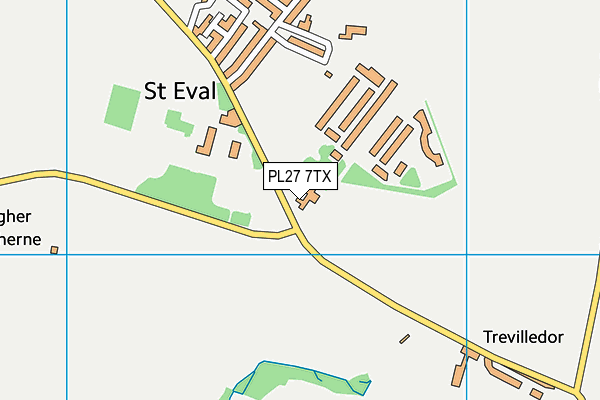
Raf St Eval (Closed) on a map

Raf St Eval (Closed) geodata
| Easting | 188622 |
| Northing | 68138 |
| Latitude | 50.474857 |
| Longitude | -4.980411 |
| Local Authority Name | Cornwall |
| Local Authority Code | E06000052 |
| Parliamentary Constituency Name | North Cornwall |
| Parliamentary Constituency Code | E14000837 |
| Region Name | South West |
| Region Code | E15000009 |
| Ward Name | St Issey and St Tudy |
| Ward Code | E05009255 |
| Output Area Code | E00095731 |
About this data
This data is open data sourced from Active Places Power and licenced under the Active Places Open Data Licence.
| Created On | 10th Feb 2014 |
| Audited On | 26th Jan 2015 |
| Checked On | 12th Oct 2012 |
