Purley Way Playing Fields - Croydon
Purley Way Playing Fields is located in Croydon (CR0), and offers Grass Pitches.
| Address | PLAYING FIELDS, Purley Way, Croydon, CR0 4RQ |
| Car Park | Yes |
| Car Park Capacity | 20 |
| Management Type | Local Authority (in house) |
| Management Group | Local Authority |
| Owner Type | Local Authority |
| Owner Group | Local Authority |
| Education Phase | Not applicable |
Facilities
| Status Notes | 1 AGW only. |
| Accessibility | Sports Club / Community Association |
| Management Type | Local Authority (in house) |
| Changing Rooms | Yes |
| Date Record Checked | 4th May 2023 |
| Opening Times | Dawn To Dusk |
Facility specifics
Disabled access
| Disabled Access | Yes |
| Activity Areas | Yes |
| Accessibility | Sports Club / Community Association |
| Management Type | Local Authority (in house) |
| Changing Rooms | Yes |
| Date Record Checked | 4th May 2023 |
| Opening Times | Dawn To Dusk |
Facility specifics
Disabled access
| Disabled Access | Yes |
| Activity Areas | Yes |
| Accessibility | Sports Club / Community Association |
| Management Type | Local Authority (in house) |
| Changing Rooms | Yes |
| Date Record Checked | 4th May 2023 |
| Opening Times | Dawn To Dusk |
Facility specifics
Disabled access
| Disabled Access | Yes |
| Activity Areas | Yes |
Contact
Disabled access
Disabled access for Purley Way Playing Fields
| Disabled Access | Yes |
| Activity Areas | Yes |
Where is Purley Way Playing Fields?
8192:htmlspecialchars(): Passing null to parameter #1 ($string) of type string is deprecated
| Sub Building Name | |
| Building Name | PLAYING FIELDS |
| Building Number | 0 |
8192:htmlspecialchars(): Passing null to parameter #1 ($string) of type string is deprecated
| Dependent Thoroughfare | |
| Thoroughfare Name | PURLEY WAY |
8192:htmlspecialchars(): Passing null to parameter #1 ($string) of type string is deprecated
| Double Dependent Locality | |
8192:htmlspecialchars(): Passing null to parameter #1 ($string) of type string is deprecated
| Dependent Locality | |
| PostTown | CROYDON |
| Postcode | CR0 4RQ |
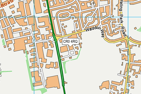
Purley Way Playing Fields on a map

Purley Way Playing Fields geodata
| Easting | 531499 |
| Northing | 162890 |
| Latitude | 51.349882 |
| Longitude | -0.113114 |
| Local Authority Name | Croydon |
| Local Authority Code | E09000008 |
| Parliamentary Constituency Name | Croydon South |
| Parliamentary Constituency Code | E14000656 |
| Region Name | London |
| Region Code | E15000007 |
| Ward Name | Purley Oaks & Riddlesdown |
| Ward Code | E05011477 |
| Output Area Code | E00005848 |
About this data
This data is open data sourced from Active Places Power and licenced under the Active Places Open Data Licence.
| toid | osgb1000001764095177 |
| Created On | 9th Sep 2004 |
| Audited On | 4th May 2023 |
| Checked On | 4th May 2023 |
