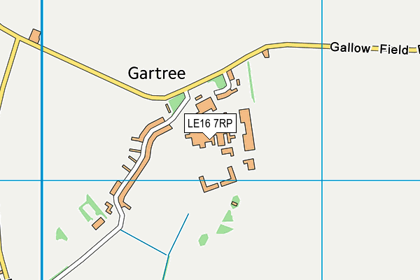
Hmp Gartree
Hmp Gartree is located in Gartree, Market Harborough (LE16), and offers Artificial Grass Pitch.
| Address | Gartree, Market Harborough, LE16 7RP |
| Management Type | Other |
| Management Group | Others |
| Owner Type | Government |
| Owner Group | Others |
| Education Phase | Not applicable |
Facilities
| Accessibility | Private Use |
| Management Type | Other |
| Year Built | 1990 |
| Year Refurbished | 2008 |
| Changing Rooms | No |
| Date Record Created | 16th Apr 2018 |
| Date Record Checked | 5th Oct 2023 |
| Opening Times | Dawn To Dusk |
Facility specifics
| Area | 2250m² |
| Fill | Yes - Rubber |
| Floodlit | No |
| Indoor | No |
| Length | 50m |
| Pile Length | 40mm |
| Width | 45m |
| WR22 Compliant Pitch | No |
| Accessibility | Private Use |
| Management Type | Other |
| Year Built | 1965 |
| Changing Rooms | No |
| Date Record Created | 16th Apr 2018 |
| Date Record Checked | 5th Oct 2023 |
| Opening Times | Dawn To Dusk |
Facility specifics
Contact
| Contact Type | Enquiries |
| Telephone | 01858 426 600 |
8192:str_replace(): Passing null to parameter #3 ($subject) of type array|string is deprecated
Where is Hmp Gartree?
8192:htmlspecialchars(): Passing null to parameter #1 ($string) of type string is deprecated
| Sub Building Name | |
8192:htmlspecialchars(): Passing null to parameter #1 ($string) of type string is deprecated
| Building Name | |
| Building Number | 0 |
8192:htmlspecialchars(): Passing null to parameter #1 ($string) of type string is deprecated
| Dependent Thoroughfare | |
8192:htmlspecialchars(): Passing null to parameter #1 ($string) of type string is deprecated
| Thoroughfare Name | |
8192:htmlspecialchars(): Passing null to parameter #1 ($string) of type string is deprecated
| Double Dependent Locality | |
| Dependent Locality | GARTREE |
| PostTown | MARKET HARBOROUGH |
| Postcode | LE16 7RP |
Hmp Gartree on a map

Hmp Gartree geodata
| Easting | 470602 |
| Northing | 289143 |
| Latitude | 52.495635 |
| Longitude | -0.961495 |
| Local Authority Name | Harborough |
| Local Authority Code | E07000131 |
| Parliamentary Constituency Name | Harborough |
| Parliamentary Constituency Code | E14000728 |
| Region Name | East Midlands |
| Region Code | E15000004 |
| Ward Name | Lubenham |
| Ward Code | E05011972 |
| Output Area Code | E00170653 |
About this data
This data is open data sourced from Active Places Power and licenced under the Active Places Open Data Licence.
| toid | osgb1000017885496 |
| Created On | 16th Apr 2018 |
| Audited On | 5th Oct 2023 |
| Checked On | 5th Oct 2023 |
