Dwerry House Playing Field (Closed) - West Derby
Dwerry House Playing Field (Closed) is located in West Derby , Liverpool (L11).
| Address | Carr Lane, West Derby , Liverpool, L11 2XZ |
| Management Type | Local Authority (in house) |
| Management Group | Local Authority |
| Owner Type | Local Authority |
| Owner Group | Local Authority |
| Education Phase | Not Known |
| Closure Date | 1st Jan 2004 |
| Closure Reason | Unclassified |
Facilities
| Closure Date | 1st Jan 2004 |
| Closure Reason | Unclassified |
| Accessibility | Pay and Play |
| Management Type | Not Known |
| Changing Rooms | No |
| Date Record Checked | 30th Nov 2009 |
| Opening Times | Detailed Timings |
Facility specifics
Contact
| Contact Type | Enquiries |
| Telephone | 0151 225 5916 |
8192:str_replace(): Passing null to parameter #3 ($subject) of type array|string is deprecated
Where is Dwerry House Playing Field (Closed)?
| Sub Building Name | |
| Building Name | |
| Building Number | 0 |
| Dependent Thoroughfare | |
| Thoroughfare Name | Carr Lane |
| Double Dependent Locality | |
| Dependent Locality | West Derby |
| PostTown | Liverpool |
| Postcode | L11 2XZ |
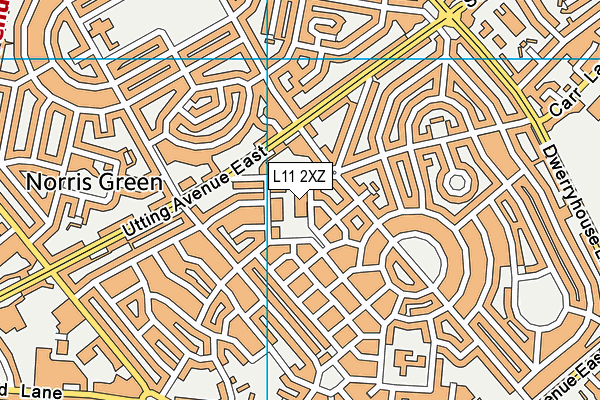
Dwerry House Playing Field (Closed) on a map

Dwerry House Playing Field (Closed) geodata
| Easting | 339041 |
| Northing | 394704 |
| Latitude | 53.44556 |
| Longitude | -2.919267 |
| Local Authority Name | Liverpool |
| Local Authority Code | E08000012 |
| Parliamentary Constituency Name | Liverpool, West Derby |
| Parliamentary Constituency Code | E14000796 |
| Region Name | North West |
| Region Code | E15000002 |
| Ward Name | Norris Green |
| Ward Code | E05000903 |
| Output Area Code | E00033462 |
About this data
This data is open data sourced from Active Places Power and licenced under the Active Places Open Data Licence.
| Created On | 26th Oct 2007 |
| Audited On | 26th Jan 2015 |
| Checked On | 30th Nov 2009 |
