Property/Postcode Data Search:
YO8 6LF maps, stats, and open data
YO8 6LF is located in the Howdenshire electoral ward, within the unitary authority of East Riding of Yorkshire and the English Parliamentary constituency of Haltemprice and Howden. The Sub Integrated Care Board (ICB) Location is NHS Humber and North Yorkshire ICB - 02Y and the police force is Humberside. This postcode has been in use since November 2019.
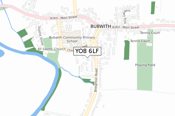
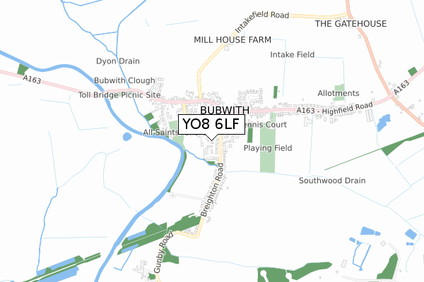
YO8 6LF maps


Source: OS Open Zoomstack (Ordnance Survey)
Licence: Open Government Licence (requires attribution)
Attribution: Contains OS data © Crown copyright and database right 2025
Source: Open Postcode Geo
Licence: Open Government Licence (requires attribution)
Attribution: Contains OS data © Crown copyright and database right 2025; Contains Royal Mail data © Royal Mail copyright and database right 2025; Source: Office for National Statistics licensed under the Open Government Licence v.3.0
Licence: Open Government Licence (requires attribution)
Attribution: Contains OS data © Crown copyright and database right 2025
Source: Open Postcode Geo
Licence: Open Government Licence (requires attribution)
Attribution: Contains OS data © Crown copyright and database right 2025; Contains Royal Mail data © Royal Mail copyright and database right 2025; Source: Office for National Statistics licensed under the Open Government Licence v.3.0
YO8 6LF geodata
| Easting | 471370 |
| Northing | 436143 |
| Latitude | 53.816699 |
| Longitude | -0.917463 |
Where is YO8 6LF?
| Country | England |
| Postcode District | YO8 |
Politics
| Ward | Howdenshire |
|---|---|
| Constituency | Haltemprice And Howden |
House Prices
Sales of detached houses in YO8 6LF
2022 14 JUL £325,000 |
1, MULBERRY GARDENS, BUBWITH, SELBY, YO8 6LF 2020 17 JAN £245,000 |
2019 10 DEC £277,995 |
Source: HM Land Registry Price Paid Data
Licence: Contains HM Land Registry data © Crown copyright and database right 2025. This data is licensed under the Open Government Licence v3.0.
Licence: Contains HM Land Registry data © Crown copyright and database right 2025. This data is licensed under the Open Government Licence v3.0.
Transport
Nearest bus stops to YO8 6LF
| Bubwith Main Street (Main Street) | Bubwith | 201m |
| Bubwith Main Street (Main Street) | Bubwith | 251m |
| Bubwith White Swan (Main Street) | Bubwith | 296m |
| Bubwith White Swan (Main Street) | Bubwith | 303m |
| Bubwith Highfield Rd (Highfield Road) | Bubwith | 318m |
Nearest railway stations to YO8 6LF
| Wressle Station | 4.9km |
Deprivation
33.1% of English postcodes are less deprived than YO8 6LF:Food Standards Agency
Three nearest food hygiene ratings to YO8 6LF (metres)
Bubwith Community Primary School

Church Street
87m
The Treehouse Bubwith

Church Street
87m
The White Swan

9 Main Street
282m
➜ Get more ratings from the Food Standards Agency
Nearest post box to YO8 6LF
| Last Collection | |||
|---|---|---|---|
| Location | Mon-Fri | Sat | Distance |
| Breighton Road Bubwith | 16:50 | 10:15 | 120m |
| Bubwith Post Office | 16:50 | 10:15 | 219m |
| Breighton | 16:50 | 10:15 | 2,190m |
YO8 6LF ITL and YO8 6LF LAU
The below table lists the International Territorial Level (ITL) codes (formerly Nomenclature of Territorial Units for Statistics (NUTS) codes) and Local Administrative Units (LAU) codes for YO8 6LF:
| ITL 1 Code | Name |
|---|---|
| TLE | Yorkshire and The Humber |
| ITL 2 Code | Name |
| TLE1 | East Yorkshire and Northern Lincolnshire |
| ITL 3 Code | Name |
| TLE12 | East Riding of Yorkshire |
| LAU 1 Code | Name |
| E06000011 | East Riding of Yorkshire |
YO8 6LF census areas
The below table lists the Census Output Area (OA), Lower Layer Super Output Area (LSOA), and Middle Layer Super Output Area (MSOA) for YO8 6LF:
| Code | Name | |
|---|---|---|
| OA | E00065677 | |
| LSOA | E01013022 | East Riding of Yorkshire 018A |
| MSOA | E02002701 | East Riding of Yorkshire 018 |
Nearest postcodes to YO8 6LF
| YO8 6LN | Vicarage Close | 66m |
| YO8 6LW | Church Street | 89m |
| YO8 6LL | Breighton Road | 91m |
| YO8 6DZ | Meadowfield | 107m |
| YO8 6ND | Honey Pot | 144m |
| YO8 6NY | White House Garth | 157m |
| YO8 6DU | Manor Court | 205m |
| YO8 6LR | Church Street | 215m |
| YO8 6NB | Church Close | 254m |
| YO8 6LT | Main Street | 280m |