YO62 6FE maps, stats, and open data
YO62 6FE is located in the Kirkbymoorside & Dales electoral ward, within the unitary authority of North Yorkshire and the English Parliamentary constituency of Thirsk and Malton. The Sub Integrated Care Board (ICB) Location is NHS Humber and North Yorkshire ICB - 03Q and the police force is North Yorkshire. This postcode has been in use since October 2019.
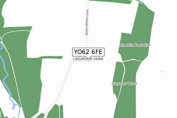
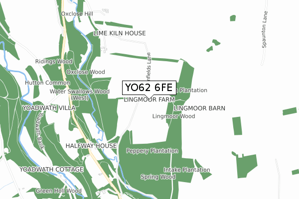
YO62 6FE maps


Licence: Open Government Licence (requires attribution)
Attribution: Contains OS data © Crown copyright and database right 2025
Source: Open Postcode Geo
Licence: Open Government Licence (requires attribution)
Attribution: Contains OS data © Crown copyright and database right 2025; Contains Royal Mail data © Royal Mail copyright and database right 2025; Source: Office for National Statistics licensed under the Open Government Licence v.3.0
YO62 6FE geodata
| Easting | 471406 |
| Northing | 488320 |
| Latitude | 54.285548 |
| Longitude | -0.904662 |
Where is YO62 6FE?
| Country | England |
| Postcode District | YO62 |
Politics
| Ward | Kirkbymoorside & Dales |
|---|---|
| Constituency | Thirsk And Malton |
Deprivation
54.4% of English postcodes are less deprived than YO62 6FE:Food Standards Agency
Three nearest food hygiene ratings to YO62 6FE (metres)


➜ Get more ratings from the Food Standards Agency
Nearest post box to YO62 6FE
| Last Collection | |||
|---|---|---|---|
| Location | Mon-Fri | Sat | Distance |
| Village Hall Hutton Le Hole | 16:30 | 10:15 | 1,762m |
| Kirkbymoorside Post Office | 17:30 | 11:30 | 2,484m |
| 24 Dale End Kirkbymoorside | 17:30 | 11:15 | 2,547m |
YO62 6FE ITL and YO62 6FE LAU
The below table lists the International Territorial Level (ITL) codes (formerly Nomenclature of Territorial Units for Statistics (NUTS) codes) and Local Administrative Units (LAU) codes for YO62 6FE:
| ITL 1 Code | Name |
|---|---|
| TLE | Yorkshire and The Humber |
| ITL 2 Code | Name |
| TLE2 | North Yorkshire |
| ITL 3 Code | Name |
| TLE22 | North Yorkshire CC |
| LAU 1 Code | Name |
| E07000167 | Ryedale |
YO62 6FE census areas
The below table lists the Census Output Area (OA), Lower Layer Super Output Area (LSOA), and Middle Layer Super Output Area (MSOA) for YO62 6FE:
| Code | Name | |
|---|---|---|
| OA | E00141463 | |
| LSOA | E01027777 | Ryedale 001B |
| MSOA | E02005788 | Ryedale 001 |
Nearest postcodes to YO62 6FE
| YO62 6UQ | 694m | |
| YO62 6UG | 1291m | |
| YO62 6UA | 1850m | |
| YO62 6UD | 1881m | |
| YO62 6TR | Spaunton | 1925m |
| YO62 6NQ | 2008m | |
| YO62 6NJ | Kraig Lane | 2108m |
| YO62 6NB | Keldholme | 2111m |
| YO62 6UB | 2117m | |
| YO62 6NE | Pickering Road | 2181m |