Property/Postcode Data Search:
YO26 5FG maps, stats, and open data
YO26 5FG is located in the Westfield electoral ward, within the unitary authority of York and the English Parliamentary constituency of York Central. The Sub Integrated Care Board (ICB) Location is NHS Humber and North Yorkshire ICB - 03Q and the police force is North Yorkshire. This postcode has been in use since January 2020.
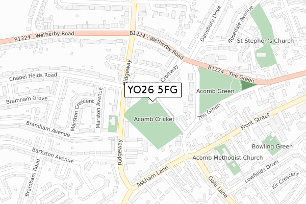
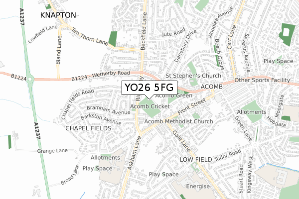
YO26 5FG maps


Source: OS Open Zoomstack (Ordnance Survey)
Licence: Open Government Licence (requires attribution)
Attribution: Contains OS data © Crown copyright and database right 2025
Source: Open Postcode Geo
Licence: Open Government Licence (requires attribution)
Attribution: Contains OS data © Crown copyright and database right 2025; Contains Royal Mail data © Royal Mail copyright and database right 2025; Source: Office for National Statistics licensed under the Open Government Licence v.3.0
Licence: Open Government Licence (requires attribution)
Attribution: Contains OS data © Crown copyright and database right 2025
Source: Open Postcode Geo
Licence: Open Government Licence (requires attribution)
Attribution: Contains OS data © Crown copyright and database right 2025; Contains Royal Mail data © Royal Mail copyright and database right 2025; Source: Office for National Statistics licensed under the Open Government Licence v.3.0
YO26 5FG geodata
| Easting | 456896 |
| Northing | 451291 |
| Latitude | 53.954610 |
| Longitude | -1.134470 |
Where is YO26 5FG?
| Country | England |
| Postcode District | YO26 |
Politics
| Ward | Westfield |
|---|---|
| Constituency | York Central |
Transport
Nearest bus stops to YO26 5FG
| St Aidan's Church (Ridgeway) | Acomb | 115m |
| St Aidan's Church (Ridgeway) | Acomb | 125m |
| Croft Way (Wetherby Road) | Acomb | 167m |
| Bramham Avenue (Ridgeway) | Chapelfields | 177m |
| Acomb Green (Wetherby Road) | Acomb | 201m |
Nearest railway stations to YO26 5FG
| Poppleton Station | 2.5km |
| York Station | 2.7km |
Deprivation
42.3% of English postcodes are less deprived than YO26 5FG:Food Standards Agency
Three nearest food hygiene ratings to YO26 5FG (metres)
The Crooked Tap

Unit 3 Greenside House
228m
The Inn on the Green
3 The Green
281m
Tea On The Green

37A The Green
281m
➜ Get more ratings from the Food Standards Agency
Nearest post box to YO26 5FG
| Last Collection | |||
|---|---|---|---|
| Location | Mon-Fri | Sat | Distance |
| 16 Askham Lane Acomb York | 17:45 | 12:40 | 206m |
| Fellbrook Avenue | 17:30 | 12:00 | 322m |
| Front St (Acomb) Post Office | 18:00 | 11:45 | 358m |
YO26 5FG ITL and YO26 5FG LAU
The below table lists the International Territorial Level (ITL) codes (formerly Nomenclature of Territorial Units for Statistics (NUTS) codes) and Local Administrative Units (LAU) codes for YO26 5FG:
| ITL 1 Code | Name |
|---|---|
| TLE | Yorkshire and The Humber |
| ITL 2 Code | Name |
| TLE2 | North Yorkshire |
| ITL 3 Code | Name |
| TLE21 | York |
| LAU 1 Code | Name |
| E06000014 | York |
YO26 5FG census areas
The below table lists the Census Output Area (OA), Lower Layer Super Output Area (LSOA), and Middle Layer Super Output Area (MSOA) for YO26 5FG:
| Code | Name | |
|---|---|---|
| OA | E00067889 | |
| LSOA | E01013442 | York 018A |
| MSOA | E02002789 | York 018 |
Nearest postcodes to YO26 5FG
| YO26 5LU | Croftway | 59m |
| YO26 5DA | Ridgeway | 94m |
| YO26 5FA | Westfield Court | 127m |
| YO26 5LS | The Green | 130m |
| YO26 5DB | Ridgeway | 131m |
| YO26 5DD | Rylatt Place | 138m |
| YO26 5LT | Croftside | 141m |
| YO26 5DG | Marston Avenue | 161m |
| YO26 5BZ | Ridgeway | 169m |
| YO26 5BT | Wetherby Road | 173m |