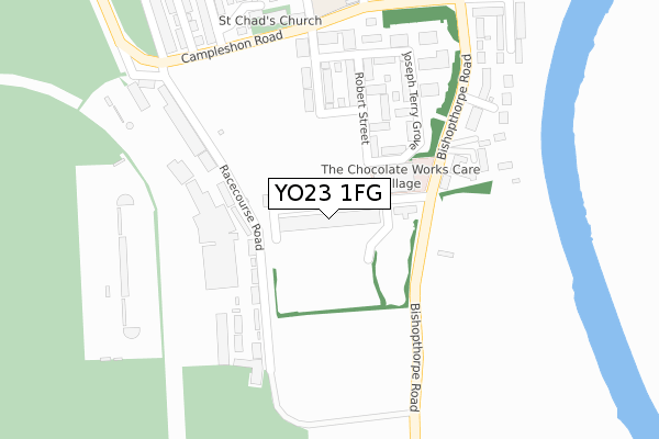
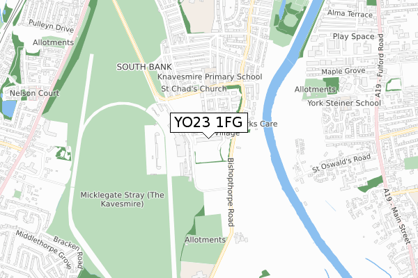
YO23 1FG is located in the Micklegate electoral ward, within the unitary authority of York and the English Parliamentary constituency of York Central. The Sub Integrated Care Board (ICB) Location is NHS Humber and North Yorkshire ICB - 03Q and the police force is North Yorkshire. This postcode has been in use since May 2019.


GetTheData
Source: OS Open Zoomstack (Ordnance Survey)
Licence: Open Government Licence (requires attribution)
Attribution: Contains OS data © Crown copyright and database right 2025
Source: Open Postcode Geo
Licence: Open Government Licence (requires attribution)
Attribution: Contains OS data © Crown copyright and database right 2025; Contains Royal Mail data © Royal Mail copyright and database right 2025; Source: Office for National Statistics licensed under the Open Government Licence v.3.0
| Easting | 460474 |
| Northing | 450990 |
| Latitude | 53.951501 |
| Longitude | -1.080013 |
GetTheData
Source: Open Postcode Geo
Licence: Open Government Licence
| Country | England |
| Postcode District | YO23 |
➜ See where YO23 is on a map ➜ Where is York? | |
GetTheData
Source: Land Registry Price Paid Data
Licence: Open Government Licence
| Ward | Micklegate |
| Constituency | York Central |
GetTheData
Source: ONS Postcode Database
Licence: Open Government Licence
| St George's Field Coach Park (Tower Street) | York | 242m |
| Edinburgh Arms (Fishergate) | York | 292m |
| Bishopthorpe Road Shops (Bishopthorpe Road) | Bishopthorpe Road | 300m |
| Charlton Street (Bishopthorpe Road) | Bishopthorpe Road | 358m |
| The Barbican (Fawcett Street) | York | 377m |
| York Station | 1.1km |
| Poppleton Station | 5.3km |
GetTheData
Source: NaPTAN
Licence: Open Government Licence
GetTheData
Source: ONS Postcode Database
Licence: Open Government Licence


➜ Get more ratings from the Food Standards Agency
GetTheData
Source: Food Standards Agency
Licence: FSA terms & conditions
| Last Collection | |||
|---|---|---|---|
| Location | Mon-Fri | Sat | Distance |
| Marlborough Grove | 17:45 | 12:15 | 283m |
| Castle Mills Bridge | 18:30 | 12:15 | 296m |
| Cromwell Road York | 18:30 | 11:45 | 345m |
GetTheData
Source: Dracos
Licence: Creative Commons Attribution-ShareAlike
The below table lists the International Territorial Level (ITL) codes (formerly Nomenclature of Territorial Units for Statistics (NUTS) codes) and Local Administrative Units (LAU) codes for YO23 1FG:
| ITL 1 Code | Name |
|---|---|
| TLE | Yorkshire and The Humber |
| ITL 2 Code | Name |
| TLE2 | North Yorkshire |
| ITL 3 Code | Name |
| TLE21 | York |
| LAU 1 Code | Name |
| E06000014 | York |
GetTheData
Source: ONS Postcode Directory
Licence: Open Government Licence
The below table lists the Census Output Area (OA), Lower Layer Super Output Area (LSOA), and Middle Layer Super Output Area (MSOA) for YO23 1FG:
| Code | Name | |
|---|---|---|
| OA | E00067727 | |
| LSOA | E01013418 | York 019F |
| MSOA | E02002790 | York 019 |
GetTheData
Source: ONS Postcode Directory
Licence: Open Government Licence
| YO23 1JE | Dukes Wharf | 59m |
| YO23 1AY | Lower Ebor Street | 100m |
| YO23 1PL | Clementhorpe | 101m |
| YO23 1BA | Carl Street | 103m |
| YO23 1AZ | Board Street | 122m |
| YO23 1AT | River Street | 122m |
| YO23 1AR | Lower Darnborough Street | 129m |
| YO23 1AS | Colenso Street | 140m |
| YO23 1PH | Postern Close | 151m |
| YO23 1DA | Vine Street | 159m |
GetTheData
Source: Open Postcode Geo; Land Registry Price Paid Data
Licence: Open Government Licence