Property/Postcode Data Search:
YO18 9AU maps, stats, and open data
YO18 9AU is located in the Pickering electoral ward, within the unitary authority of North Yorkshire and the English Parliamentary constituency of Thirsk and Malton. The Sub Integrated Care Board (ICB) Location is NHS Humber and North Yorkshire ICB - 03Q and the police force is North Yorkshire. This postcode has been in use since April 2020.
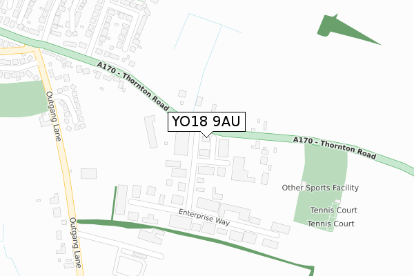
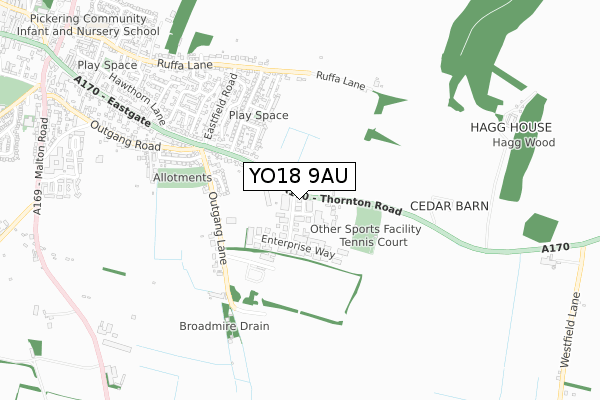
YO18 9AU maps


Source: OS Open Zoomstack (Ordnance Survey)
Licence: Open Government Licence (requires attribution)
Attribution: Contains OS data © Crown copyright and database right 2025
Source: Open Postcode Geo
Licence: Open Government Licence (requires attribution)
Attribution: Contains OS data © Crown copyright and database right 2025; Contains Royal Mail data © Royal Mail copyright and database right 2025; Source: Office for National Statistics licensed under the Open Government Licence v.3.0
Licence: Open Government Licence (requires attribution)
Attribution: Contains OS data © Crown copyright and database right 2025
Source: Open Postcode Geo
Licence: Open Government Licence (requires attribution)
Attribution: Contains OS data © Crown copyright and database right 2025; Contains Royal Mail data © Royal Mail copyright and database right 2025; Source: Office for National Statistics licensed under the Open Government Licence v.3.0
YO18 9AU geodata
| Easting | 480960 |
| Northing | 483236 |
| Latitude | 54.238448 |
| Longitude | -0.759314 |
Where is YO18 9AU?
| Country | England |
| Postcode District | YO18 |
Politics
| Ward | Pickering |
|---|---|
| Constituency | Thirsk And Malton |
Transport
Nearest bus stops to YO18 9AU
| Thornton Road Industrial Est (A170) | Pickering | 16m |
| Thornton Rd Ind Est (A170) | Pickering | 28m |
| Thornton Road (A170) | Pickering | 270m |
| Thornton Road (A170) | Pickering | 285m |
| Whitfield Avenue | Pickering | 408m |
Nearest underground/metro/tram to YO18 9AU
| Pickering (North Yorkshire Moors Railway) | Pickering | 1,585m |
Deprivation
50.3% of English postcodes are less deprived than YO18 9AU:Food Standards Agency
Three nearest food hygiene ratings to YO18 9AU (metres)
Premier Inn

40 Thornton Road
187m
Cawthorne House B&B

Cawthorne House
962m
Steam & Moorland Garden Centre - Engine Shed Restaurant

Steam & Moorland Garden Centre
988m
➜ Get more ratings from the Food Standards Agency
Nearest post box to YO18 9AU
| Last Collection | |||
|---|---|---|---|
| Location | Mon-Fri | Sat | Distance |
| Eastfield Road | 16:30 | 12:35 | 450m |
| Eastgate Pickering | 17:15 | 11:45 | 1,115m |
| Outside Police Stn Malton Road | 16:00 | 10:00 | 1,137m |
YO18 9AU ITL and YO18 9AU LAU
The below table lists the International Territorial Level (ITL) codes (formerly Nomenclature of Territorial Units for Statistics (NUTS) codes) and Local Administrative Units (LAU) codes for YO18 9AU:
| ITL 1 Code | Name |
|---|---|
| TLE | Yorkshire and The Humber |
| ITL 2 Code | Name |
| TLE2 | North Yorkshire |
| ITL 3 Code | Name |
| TLE22 | North Yorkshire CC |
| LAU 1 Code | Name |
| E07000167 | Ryedale |
YO18 9AU census areas
The below table lists the Census Output Area (OA), Lower Layer Super Output Area (LSOA), and Middle Layer Super Output Area (MSOA) for YO18 9AU:
| Code | Name | |
|---|---|---|
| OA | E00141565 | |
| LSOA | E01027793 | Ryedale 002B |
| MSOA | E02005789 | Ryedale 002 |
Nearest postcodes to YO18 9AU
| YO18 7JB | Thornton Road Industrial Estate | 79m |
| YO18 7JX | Thornton Road | 167m |
| YO18 7NA | Enterprise Way | 214m |
| YO18 7HZ | Thornton Road | 333m |
| YO18 7JA | Outgang Lane | 369m |
| YO18 7HY | Whitfield Avenue | 377m |
| YO18 7JQ | Shepherds Hill | 432m |
| YO18 7HX | Whitfield Avenue | 453m |
| YO18 8JB | Town End Close | 473m |
| YO18 7HU | Eastfield Road | 498m |