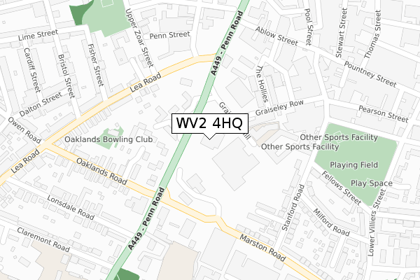
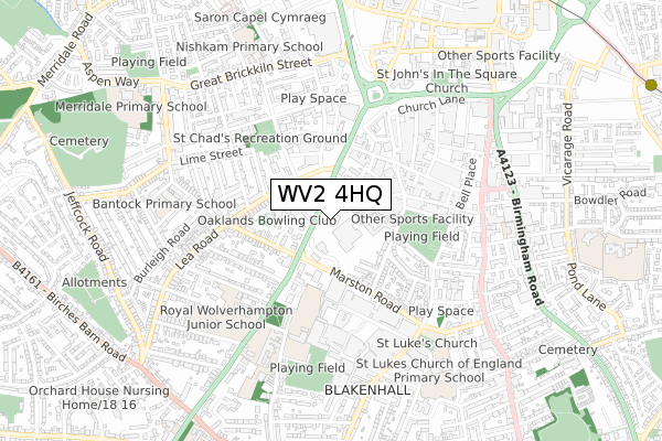
WV2 4HQ is located in the Blakenhall electoral ward, within the metropolitan district of Wolverhampton and the English Parliamentary constituency of Wolverhampton South East. The Sub Integrated Care Board (ICB) Location is NHS Black Country ICB - D2P2L and the police force is West Midlands. This postcode has been in use since April 2018.


GetTheData
Source: OS Open Zoomstack (Ordnance Survey)
Licence: Open Government Licence (requires attribution)
Attribution: Contains OS data © Crown copyright and database right 2025
Source: Open Postcode Geo
Licence: Open Government Licence (requires attribution)
Attribution: Contains OS data © Crown copyright and database right 2025; Contains Royal Mail data © Royal Mail copyright and database right 2025; Source: Office for National Statistics licensed under the Open Government Licence v.3.0
| Easting | 390966 |
| Northing | 297627 |
| Latitude | 52.576398 |
| Longitude | -2.134735 |
GetTheData
Source: Open Postcode Geo
Licence: Open Government Licence
| Country | England |
| Postcode District | WV2 |
➜ See where WV2 is on a map ➜ Where is Wolverhampton? | |
GetTheData
Source: Land Registry Price Paid Data
Licence: Open Government Licence
| Ward | Blakenhall |
| Constituency | Wolverhampton South East |
GetTheData
Source: ONS Postcode Database
Licence: Open Government Licence
| Lea Rd (Penn Rd) | Blakenhall | 57m |
| Oaklands Rd (Penn Rd) | Blakenhall | 92m |
| Lea Rd (Penn Rd) | Blakenhall | 139m |
| Oaklands Rd (Marston Rd) | Blakenhall | 170m |
| Penn Rd (Lea Rd) | Blakenhall | 187m |
| Wolverhampton St George's (Midland Metro Stop) (Bilston St) | Wolverhampton | 1,113m |
| The Royal (Midland Metro Stop) (Bilston St) | Wolverhampton | 1,284m |
| Wolverhampton Station | 1.6km |
| Coseley Station | 4.8km |
GetTheData
Source: NaPTAN
Licence: Open Government Licence
GetTheData
Source: ONS Postcode Database
Licence: Open Government Licence


➜ Get more ratings from the Food Standards Agency
GetTheData
Source: Food Standards Agency
Licence: FSA terms & conditions
| Last Collection | |||
|---|---|---|---|
| Location | Mon-Fri | Sat | Distance |
| Marston Road | 17:15 | 13:00 | 333m |
| Great Brickkiln Street | 17:30 | 13:00 | 704m |
| Blakenhall Post Office | 17:15 | 12:00 | 796m |
GetTheData
Source: Dracos
Licence: Creative Commons Attribution-ShareAlike
The below table lists the International Territorial Level (ITL) codes (formerly Nomenclature of Territorial Units for Statistics (NUTS) codes) and Local Administrative Units (LAU) codes for WV2 4HQ:
| ITL 1 Code | Name |
|---|---|
| TLG | West Midlands (England) |
| ITL 2 Code | Name |
| TLG3 | West Midlands |
| ITL 3 Code | Name |
| TLG39 | Wolverhampton |
| LAU 1 Code | Name |
| E08000031 | Wolverhampton |
GetTheData
Source: ONS Postcode Directory
Licence: Open Government Licence
The below table lists the Census Output Area (OA), Lower Layer Super Output Area (LSOA), and Middle Layer Super Output Area (MSOA) for WV2 4HQ:
| Code | Name | |
|---|---|---|
| OA | E00052665 | |
| LSOA | E01010426 | Wolverhampton 035A |
| MSOA | E02006894 | Wolverhampton 035 |
GetTheData
Source: ONS Postcode Directory
Licence: Open Government Licence
| WV3 0DT | Pennant Court | 113m |
| WV3 0ES | Bromford Rise | 156m |
| WV3 0ET | Bromford Rise | 164m |
| WV2 4HE | Hollies Industrial Estate | 177m |
| WV3 0LX | Lea Gardens | 196m |
| WV2 4NH | Clayton Close | 227m |
| WV3 0JP | Retreat Street | 228m |
| WV3 0LE | Lea Road | 235m |
| WV2 4NF | Stanford Road | 240m |
| WV3 0JH | Upper Zoar Street | 258m |
GetTheData
Source: Open Postcode Geo; Land Registry Price Paid Data
Licence: Open Government Licence