WV2 2EQ maps, stats, and open data
- Home
- Postcode
- WV
- WV2
- WV2 2
WV2 2EQ is located in the Ettingshall North electoral ward, within the metropolitan district of Wolverhampton and the English Parliamentary constituency of Wolverhampton South East. The Sub Integrated Care Board (ICB) Location is NHS Black Country ICB - D2P2L and the police force is West Midlands. This postcode has been in use since October 2018.
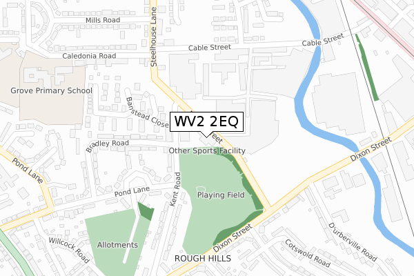
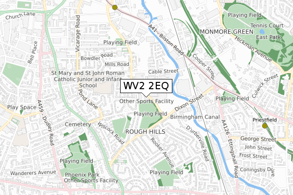
WV2 2EQ maps


Source: OS Open Zoomstack (Ordnance Survey)
Licence: Open Government Licence (requires attribution)
Attribution: Contains OS data © Crown copyright and database right 2025
Source: Open Postcode GeoLicence: Open Government Licence (requires attribution)
Attribution: Contains OS data © Crown copyright and database right 2025; Contains Royal Mail data © Royal Mail copyright and database right 2025; Source: Office for National Statistics licensed under the Open Government Licence v.3.0
WV2 2EQ geodata
| Easting | 392447 |
| Northing | 297368 |
| Latitude | 52.574093 |
| Longitude | -2.112875 |
Where is WV2 2EQ?
| Country | England |
| Postcode District | WV2 |
Politics
| Ward | Ettingshall North |
|---|
| Constituency | Wolverhampton South East |
|---|
Transport
Nearest bus stops to WV2 2EQ
| Pond Lane (Kent Rd) | Rough Hills | 88m |
| Pond Lane (Kent Rd) | Rough Hills | 116m |
| Cable St (Steelhouse Lane) | Monmore Green | 264m |
| Dixon St (Cheviot Rd) | Rough Hills | 266m |
| Dixon St (Cheviot Rd) | Rough Hills | 268m |
Nearest underground/metro/tram to WV2 2EQ
| The Royal (Midland Metro Stop) (Bilston St) | Wolverhampton | 874m |
| Priestfield (Midland Metro Stop) (Junction Rd) | Priestfield | 1,067m |
| Wolverhampton St George's (Midland Metro Stop) (Bilston St) | Wolverhampton | 1,352m |
Nearest railway stations to WV2 2EQ
| Wolverhampton Station | 1.6km |
| Coseley Station | 3.7km |
| Tipton Station | 5.8km |
Broadband
Broadband access in WV2 2EQ (2020 data)
| Percentage of properties with Next Generation Access | 100.0% |
| Percentage of properties with Superfast Broadband | 100.0% |
| Percentage of properties with Ultrafast Broadband | 0.0% |
| Percentage of properties with Full Fibre Broadband | 0.0% |
Superfast Broadband is between 30Mbps and 300Mbps
Ultrafast Broadband is > 300Mbps
Broadband limitations in WV2 2EQ (2020 data)
| Percentage of properties unable to receive 2Mbps | 0.0% |
| Percentage of properties unable to receive 5Mbps | 0.0% |
| Percentage of properties unable to receive 10Mbps | 0.0% |
| Percentage of properties unable to receive 30Mbps | 0.0% |
Deprivation
87.8% of English postcodes are less deprived than
WV2 2EQ:
Food Standards Agency
Three nearest food hygiene ratings to WV2 2EQ (metres)
Royal Park
Thomas Ices X17 RSO
Thomas Ices Y17 RSO
➜ Get more ratings from the Food Standards Agency
Nearest post box to WV2 2EQ
| | Last Collection | |
|---|
| Location | Mon-Fri | Sat | Distance |
|---|
| Dixon Street | 17:00 | 12:30 | 300m |
| Ettingshall Road | 17:30 | 12:00 | 683m |
| Vicarage Road | 17:30 | 12:00 | 850m |
WV2 2EQ ITL and WV2 2EQ LAU
The below table lists the International Territorial Level (ITL) codes (formerly Nomenclature of Territorial Units for Statistics (NUTS) codes) and Local Administrative Units (LAU) codes for WV2 2EQ:
| ITL 1 Code | Name |
|---|
| TLG | West Midlands (England) |
| ITL 2 Code | Name |
|---|
| TLG3 | West Midlands |
| ITL 3 Code | Name |
|---|
| TLG39 | Wolverhampton |
| LAU 1 Code | Name |
|---|
| E08000031 | Wolverhampton |
WV2 2EQ census areas
The below table lists the Census Output Area (OA), Lower Layer Super Output Area (LSOA), and Middle Layer Super Output Area (MSOA) for WV2 2EQ:
| Code | Name |
|---|
| OA | E00052789 | |
|---|
| LSOA | E01010453 | Wolverhampton 035F |
|---|
| MSOA | E02006894 | Wolverhampton 035 |
|---|
Nearest postcodes to WV2 2EQ


