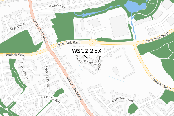
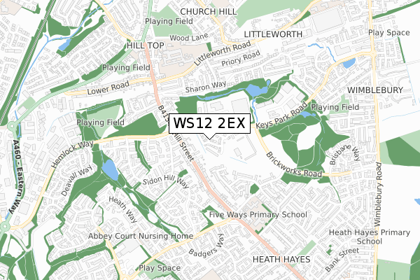
WS12 2EX is located in the Hednesford South electoral ward, within the local authority district of Cannock Chase and the English Parliamentary constituency of Cannock Chase. The Sub Integrated Care Board (ICB) Location is NHS Staffordshire and Stoke-on-Trent ICB - 04Y and the police force is Staffordshire. This postcode has been in use since December 2019.


GetTheData
Source: OS Open Zoomstack (Ordnance Survey)
Licence: Open Government Licence (requires attribution)
Attribution: Contains OS data © Crown copyright and database right 2025
Source: Open Postcode Geo
Licence: Open Government Licence (requires attribution)
Attribution: Contains OS data © Crown copyright and database right 2025; Contains Royal Mail data © Royal Mail copyright and database right 2025; Source: Office for National Statistics licensed under the Open Government Licence v.3.0
| Easting | 400630 |
| Northing | 311183 |
| Latitude | 52.698340 |
| Longitude | -1.992110 |
GetTheData
Source: Open Postcode Geo
Licence: Open Government Licence
| Country | England |
| Postcode District | WS12 |
➜ See where WS12 is on a map ➜ Where is Cannock? | |
GetTheData
Source: Land Registry Price Paid Data
Licence: Open Government Licence
| Ward | Hednesford South |
| Constituency | Cannock Chase |
GetTheData
Source: ONS Postcode Database
Licence: Open Government Licence
2025 27 MAR £315,000 |
2023 30 OCT £355,000 |
13, GRIFFITHS WAY, HEDNESFORD, CANNOCK, WS12 2EX 2020 24 JUL £312,950 |
11, GRIFFITHS WAY, HEDNESFORD, CANNOCK, WS12 2EX 2020 17 JUL £253,500 |
2020 29 MAY £258,995 |
2020 27 MAR £305,000 |
2020 28 FEB £306,500 |
2, GRIFFITHS WAY, HEDNESFORD, CANNOCK, WS12 2EX 2019 22 NOV £248,500 |
GetTheData
Source: HM Land Registry Price Paid Data
Licence: Contains HM Land Registry data © Crown copyright and database right 2025. This data is licensed under the Open Government Licence v3.0.
| Brickworks Road (Keyspark Road) | Hawks Green | 144m |
| Levetts Hollow (Hill Street) | Hawks Green | 155m |
| Brickworks Road (Keyspark Road) | Hawks Green | 175m |
| Levetts Hollow (Hill Street) | Hawks Green | 175m |
| Cross Keys Ph (Hill Street) | Hednesford | 374m |
| Hednesford Station | 1.5km |
| Cannock Station | 2.4km |
| Landywood Station | 5km |
GetTheData
Source: NaPTAN
Licence: Open Government Licence
GetTheData
Source: ONS Postcode Database
Licence: Open Government Licence


➜ Get more ratings from the Food Standards Agency
GetTheData
Source: Food Standards Agency
Licence: FSA terms & conditions
| Last Collection | |||
|---|---|---|---|
| Location | Mon-Fri | Sat | Distance |
| Cannock Delivery Office | 18:30 | 12:00 | 841m |
| Cannock Post Office | 18:30 | 12:15 | 1,016m |
| Wimblebury Road | 17:00 | 10:45 | 1,124m |
GetTheData
Source: Dracos
Licence: Creative Commons Attribution-ShareAlike
The below table lists the International Territorial Level (ITL) codes (formerly Nomenclature of Territorial Units for Statistics (NUTS) codes) and Local Administrative Units (LAU) codes for WS12 2EX:
| ITL 1 Code | Name |
|---|---|
| TLG | West Midlands (England) |
| ITL 2 Code | Name |
| TLG2 | Shropshire and Staffordshire |
| ITL 3 Code | Name |
| TLG24 | Staffordshire CC |
| LAU 1 Code | Name |
| E07000192 | Cannock Chase |
GetTheData
Source: ONS Postcode Directory
Licence: Open Government Licence
The below table lists the Census Output Area (OA), Lower Layer Super Output Area (LSOA), and Middle Layer Super Output Area (MSOA) for WS12 2EX:
| Code | Name | |
|---|---|---|
| OA | E00149754 | |
| LSOA | E01029392 | Cannock Chase 009E |
| MSOA | E02006126 | Cannock Chase 009 |
GetTheData
Source: ONS Postcode Directory
Licence: Open Government Licence
| WS12 2AW | Levetts Hollow | 122m |
| WS12 2DW | Hill Street | 144m |
| WS11 7FZ | Turquoise Grove | 200m |
| WS11 7FS | Amber Grove | 260m |
| WS11 7FY | Sapphire Drive | 263m |
| WS12 2NF | Sharon Way | 268m |
| WS12 2PD | Meadway Close | 269m |
| WS12 2DR | Hill Street | 277m |
| WS11 7GS | Goya Close | 288m |
| WS12 2BX | Farm Close | 302m |
GetTheData
Source: Open Postcode Geo; Land Registry Price Paid Data
Licence: Open Government Licence