WS1 1TL maps, stats, and open data
- Home
- Postcode
- WS
- WS1
- WS1 1
WS1 1TL is located in the St Matthew's electoral ward, within the metropolitan district of Walsall and the English Parliamentary constituency of Walsall South. The Sub Integrated Care Board (ICB) Location is NHS Black Country ICB - D2P2L and the police force is West Midlands. This postcode has been in use since March 2018.
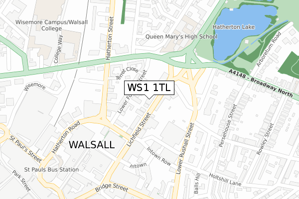
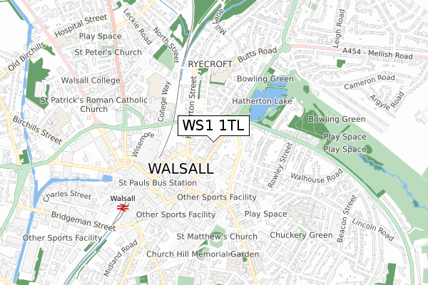
WS1 1TL maps


Source: OS Open Zoomstack (Ordnance Survey)
Licence: Open Government Licence (requires attribution)
Attribution: Contains OS data © Crown copyright and database right 2025
Source: Open Postcode GeoLicence: Open Government Licence (requires attribution)
Attribution: Contains OS data © Crown copyright and database right 2025; Contains Royal Mail data © Royal Mail copyright and database right 2025; Source: Office for National Statistics licensed under the Open Government Licence v.3.0
WS1 1TL geodata
| Easting | 401623 |
| Northing | 298864 |
| Latitude | 52.587594 |
| Longitude | -1.977472 |
Where is WS1 1TL?
| Country | England |
| Postcode District | WS1 |
Politics
| Ward | St Matthew's |
|---|
| Constituency | Walsall South |
|---|
Transport
Nearest bus stops to WS1 1TL
| Watmos Homes (Lichfield St) | Walsall | 27m |
| Watmos Homes (Lichfield St) | Walsall | 83m |
| Lower Rushall St (Walhouse Rd) | Walsall | 183m |
| Lower Rushall St (Walhouse Rd) | Walsall | 189m |
| Town Hall (Lichfield St) | Walsall | 190m |
Nearest railway stations to WS1 1TL
| Walsall Station | 0.6km |
| Bescot Stadium Station | 2.9km |
| Tame Bridge Parkway Station | 3.9km |
Broadband
Broadband access in WS1 1TL (2020 data)
| Percentage of properties with Next Generation Access | 100.0% |
| Percentage of properties with Superfast Broadband | 100.0% |
| Percentage of properties with Ultrafast Broadband | 0.0% |
| Percentage of properties with Full Fibre Broadband | 0.0% |
Superfast Broadband is between 30Mbps and 300Mbps
Ultrafast Broadband is > 300Mbps
Broadband limitations in WS1 1TL (2020 data)
| Percentage of properties unable to receive 2Mbps | 0.0% |
| Percentage of properties unable to receive 5Mbps | 0.0% |
| Percentage of properties unable to receive 10Mbps | 0.0% |
| Percentage of properties unable to receive 30Mbps | 0.0% |
Deprivation
94% of English postcodes are less deprived than
WS1 1TL:
Food Standards Agency
Three nearest food hygiene ratings to WS1 1TL (metres)
Midland Mencap
Masovia Craft Bakery
Domino`s Pizza
➜ Get more ratings from the Food Standards Agency
Nearest post box to WS1 1TL
| | Last Collection | |
|---|
| Location | Mon-Fri | Sat | Distance |
|---|
| Bridge Street | 18:30 | 12:30 | 304m |
| Lime Lane | 18:00 | 11:15 | 332m |
| Ablewell Street | 18:15 | 12:00 | 422m |
WS1 1TL ITL and WS1 1TL LAU
The below table lists the International Territorial Level (ITL) codes (formerly Nomenclature of Territorial Units for Statistics (NUTS) codes) and Local Administrative Units (LAU) codes for WS1 1TL:
| ITL 1 Code | Name |
|---|
| TLG | West Midlands (England) |
| ITL 2 Code | Name |
|---|
| TLG3 | West Midlands |
| ITL 3 Code | Name |
|---|
| TLG38 | Walsall |
| LAU 1 Code | Name |
|---|
| E08000030 | Walsall |
WS1 1TL census areas
The below table lists the Census Output Area (OA), Lower Layer Super Output Area (LSOA), and Middle Layer Super Output Area (MSOA) for WS1 1TL:
| Code | Name |
|---|
| OA | E00168240 | |
|---|
| LSOA | E01010369 | Walsall 024D |
|---|
| MSOA | E02002133 | Walsall 024 |
|---|
Nearest postcodes to WS1 1TL


