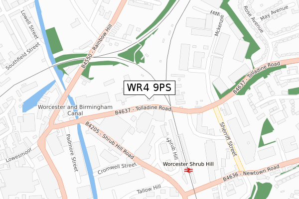
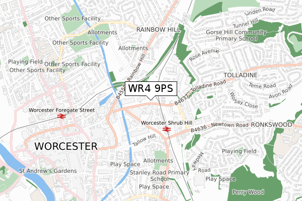
WR4 9PS is located in the Cathedral electoral ward, within the local authority district of Worcester and the English Parliamentary constituency of Worcester. The Sub Integrated Care Board (ICB) Location is NHS Herefordshire and Worcestershire ICB - 18C and the police force is West Mercia. This postcode has been in use since December 2018.


GetTheData
Source: OS Open Zoomstack (Ordnance Survey)
Licence: Open Government Licence (requires attribution)
Attribution: Contains OS data © Crown copyright and database right 2025
Source: Open Postcode Geo
Licence: Open Government Licence (requires attribution)
Attribution: Contains OS data © Crown copyright and database right 2025; Contains Royal Mail data © Royal Mail copyright and database right 2025; Source: Office for National Statistics licensed under the Open Government Licence v.3.0
| Easting | 385688 |
| Northing | 255367 |
| Latitude | 52.196362 |
| Longitude | -2.210801 |
GetTheData
Source: Open Postcode Geo
Licence: Open Government Licence
| Country | England |
| Postcode District | WR4 |
➜ See where WR4 is on a map ➜ Where is Worcester? | |
GetTheData
Source: Land Registry Price Paid Data
Licence: Open Government Licence
| Ward | Cathedral |
| Constituency | Worcester |
GetTheData
Source: ONS Postcode Database
Licence: Open Government Licence
| Station Steps (Tolladine Road (B4637)) | Tolladine | 43m |
| Station Steps (Tolladine Road) | Tolladine | 62m |
| Shrub Hill Road (Shrub Hill Road (B4205)) | Worcester | 183m |
| Shrub Hill Station (Shrub Hill) | Worcester | 202m |
| Shrub Hill Station (Shrub Hill Road (B4205)) | Worcester | 238m |
| Worcester Shrub Hill Station | 0.2km |
| Worcester Foregate Street Station | 0.7km |
GetTheData
Source: NaPTAN
Licence: Open Government Licence
GetTheData
Source: ONS Postcode Database
Licence: Open Government Licence


➜ Get more ratings from the Food Standards Agency
GetTheData
Source: Food Standards Agency
Licence: FSA terms & conditions
| Last Collection | |||
|---|---|---|---|
| Location | Mon-Fri | Sat | Distance |
| Shrub Hill | 218m | ||
| Shrub Hill Station | 18:15 | 11:30 | 220m |
| Lansdowne Crescent | 17:00 | 11:30 | 276m |
GetTheData
Source: Dracos
Licence: Creative Commons Attribution-ShareAlike
The below table lists the International Territorial Level (ITL) codes (formerly Nomenclature of Territorial Units for Statistics (NUTS) codes) and Local Administrative Units (LAU) codes for WR4 9PS:
| ITL 1 Code | Name |
|---|---|
| TLG | West Midlands (England) |
| ITL 2 Code | Name |
| TLG1 | Herefordshire, Worcestershire and Warwickshire |
| ITL 3 Code | Name |
| TLG12 | Worcestershire CC |
| LAU 1 Code | Name |
| E07000237 | Worcester |
GetTheData
Source: ONS Postcode Directory
Licence: Open Government Licence
The below table lists the Census Output Area (OA), Lower Layer Super Output Area (LSOA), and Middle Layer Super Output Area (MSOA) for WR4 9PS:
| Code | Name | |
|---|---|---|
| OA | E00172268 | |
| LSOA | E01033248 | Worcester 011E |
| MSOA | E02006744 | Worcester 011 |
GetTheData
Source: ONS Postcode Directory
Licence: Open Government Licence
| WR4 9GX | Shrub Hill Road | 167m |
| WR3 8LX | Rainbow Hill | 235m |
| WR3 8NB | Terrace Walk | 235m |
| WR3 8NA | Crescent Villas | 246m |
| WR3 8LZ | Rainbow Hill | 262m |
| WR3 8NE | Kenilworth Close | 283m |
| WR4 9GN | Mckenzie Way | 290m |
| WR4 9AB | Sherriff Street | 297m |
| WR1 2RX | Lowesmoor Terrace | 302m |
| WR3 8NG | Rainbow Hill Terrace | 320m |
GetTheData
Source: Open Postcode Geo; Land Registry Price Paid Data
Licence: Open Government Licence