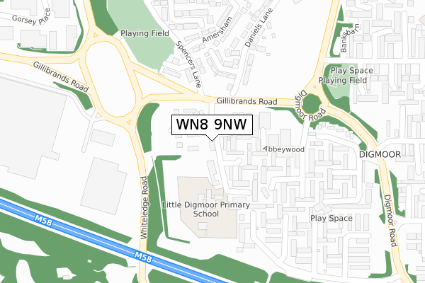
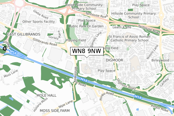
WN8 9NW is located in the Skelmersdale South electoral ward, within the local authority district of West Lancashire and the English Parliamentary constituency of West Lancashire. The Sub Integrated Care Board (ICB) Location is NHS Lancashire and South Cumbria ICB - 02G and the police force is Lancashire. This postcode has been in use since November 2019.


GetTheData
Source: OS Open Zoomstack (Ordnance Survey)
Licence: Open Government Licence (requires attribution)
Attribution: Contains OS data © Crown copyright and database right 2025
Source: Open Postcode Geo
Licence: Open Government Licence (requires attribution)
Attribution: Contains OS data © Crown copyright and database right 2025; Contains Royal Mail data © Royal Mail copyright and database right 2025; Source: Office for National Statistics licensed under the Open Government Licence v.3.0
| Easting | 348990 |
| Northing | 405042 |
| Latitude | 53.539549 |
| Longitude | -2.771175 |
GetTheData
Source: Open Postcode Geo
Licence: Open Government Licence
| Country | England |
| Postcode District | WN8 |
➜ See where WN8 is on a map ➜ Where is Skelmersdale? | |
GetTheData
Source: Land Registry Price Paid Data
Licence: Open Government Licence
| Ward | Skelmersdale South |
| Constituency | West Lancashire |
GetTheData
Source: ONS Postcode Database
Licence: Open Government Licence
| Gillibrands Road (Abbeywood) | Digmoor | 148m |
| Gilibrands Road (Gillibrands Road) | Digmoor | 158m |
| Beechtrees (Digmoor Road) | Digmoor | 407m |
| Sports Centre (Digmoor Road) | Digmoor | 417m |
| Sports Centre (Digmoor Road) | Digmoor | 424m |
| Upholland Station | 2.3km |
| Rainford Station | 2.8km |
| Orrell Station | 4.3km |
GetTheData
Source: NaPTAN
Licence: Open Government Licence
GetTheData
Source: ONS Postcode Database
Licence: Open Government Licence


➜ Get more ratings from the Food Standards Agency
GetTheData
Source: Food Standards Agency
Licence: FSA terms & conditions
| Last Collection | |||
|---|---|---|---|
| Location | Mon-Fri | Sat | Distance |
| 83 Banksbarn | 17:35 | 11:00 | 353m |
| Martins Lane | 17:30 | 11:00 | 361m |
| Skelmersdale Delivery Office | 19:00 | 12:00 | 844m |
GetTheData
Source: Dracos
Licence: Creative Commons Attribution-ShareAlike
The below table lists the International Territorial Level (ITL) codes (formerly Nomenclature of Territorial Units for Statistics (NUTS) codes) and Local Administrative Units (LAU) codes for WN8 9NW:
| ITL 1 Code | Name |
|---|---|
| TLD | North West (England) |
| ITL 2 Code | Name |
| TLD4 | Lancashire |
| ITL 3 Code | Name |
| TLD47 | Chorley and West Lancashire |
| LAU 1 Code | Name |
| E07000127 | West Lancashire |
GetTheData
Source: ONS Postcode Directory
Licence: Open Government Licence
The below table lists the Census Output Area (OA), Lower Layer Super Output Area (LSOA), and Middle Layer Super Output Area (MSOA) for WN8 9NW:
| Code | Name | |
|---|---|---|
| OA | E00129369 | |
| LSOA | E01025494 | West Lancashire 014B |
| MSOA | E02005317 | West Lancashire 014 |
GetTheData
Source: ONS Postcode Directory
Licence: Open Government Licence
| WN8 9LP | Abbeystead | 75m |
| WN8 9LR | Abbeywood | 150m |
| WN8 9NE | Abbeystead | 152m |
| WN8 9NJ | Digmoor Drive | 195m |
| WN8 9JU | Spencers Lane | 213m |
| WN8 9LS | Abbeywood | 225m |
| WN8 9NB | Alderley | 231m |
| WN8 9LT | Acregate | 277m |
| WN8 9JW | Amersham | 282m |
| WN8 9NA | Alderley | 293m |
GetTheData
Source: Open Postcode Geo; Land Registry Price Paid Data
Licence: Open Government Licence