WN3 6GT maps, stats, and open data
- Home
- Postcode
- WN
- WN3
- WN3 6
WN3 6GT is located in the Worsley Mesnes electoral ward, within the metropolitan district of Wigan and the English Parliamentary constituency of Makerfield. The Sub Integrated Care Board (ICB) Location is NHS Greater Manchester ICB - 02H and the police force is Greater Manchester. This postcode has been in use since March 2018.
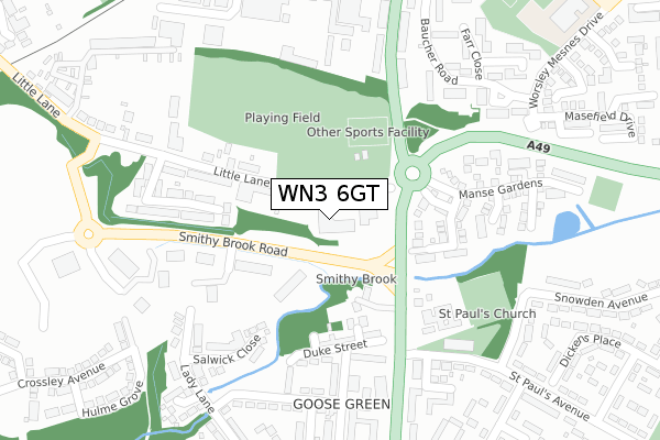
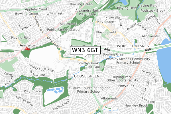
WN3 6GT maps


Source: OS Open Zoomstack (Ordnance Survey)
Licence: Open Government Licence (requires attribution)
Attribution: Contains OS data © Crown copyright and database right 2025
Source: Open Postcode GeoLicence: Open Government Licence (requires attribution)
Attribution: Contains OS data © Crown copyright and database right 2025; Contains Royal Mail data © Royal Mail copyright and database right 2025; Source: Office for National Statistics licensed under the Open Government Licence v.3.0
WN3 6GT geodata
| Easting | 356581 |
| Northing | 403856 |
| Latitude | 53.529572 |
| Longitude | -2.656477 |
Where is WN3 6GT?
| Country | England |
| Postcode District | WN3 |
Politics
| Ward | Worsley Mesnes |
|---|
| Constituency | Makerfield |
|---|
Transport
Nearest bus stops to WN3 6GT
| Warrington Rd/Little Ln (Warrington Rd) | Goose Green | 96m |
| Warrington Rd/Little Ln (Warrington Rd) | Goose Green | 121m |
| Warrington Rd/St Pauls Ave (Warrington Rd) | Goose Green | 179m |
| Warrington Rd/St Pauls Ave (Warrington Rd) | Goose Green | 257m |
| St Pauls Ave/St Paul's Church (St Pauls Ave) | Goose Green | 287m |
Nearest railway stations to WN3 6GT
| Pemberton Station | 0.9km |
| Wigan North Western Station | 2.2km |
| Wigan Wallgate Station | 2.3km |
Broadband
Broadband access in WN3 6GT (2020 data)
| Percentage of properties with Next Generation Access | 100.0% |
| Percentage of properties with Superfast Broadband | 100.0% |
| Percentage of properties with Ultrafast Broadband | 100.0% |
| Percentage of properties with Full Fibre Broadband | 100.0% |
Superfast Broadband is between 30Mbps and 300Mbps
Ultrafast Broadband is > 300Mbps
Broadband limitations in WN3 6GT (2020 data)
| Percentage of properties unable to receive 2Mbps | 0.0% |
| Percentage of properties unable to receive 5Mbps | 0.0% |
| Percentage of properties unable to receive 10Mbps | 0.0% |
| Percentage of properties unable to receive 30Mbps | 0.0% |
Deprivation
80.7% of English postcodes are less deprived than
WN3 6GT:
Food Standards Agency
Three nearest food hygiene ratings to WN3 6GT (metres)
The Goose Green
Ancliffe
Wigan GP Alliance
➜ Get more ratings from the Food Standards Agency
Nearest post box to WN3 6GT
| | Last Collection | |
|---|
| Location | Mon-Fri | Sat | Distance |
|---|
| Pool Street | 17:50 | 11:25 | 1,098m |
| Hawley P O | 18:30 | 11:50 | 1,139m |
| Frederick Street | 18:00 | 11:00 | 1,192m |
WN3 6GT ITL and WN3 6GT LAU
The below table lists the International Territorial Level (ITL) codes (formerly Nomenclature of Territorial Units for Statistics (NUTS) codes) and Local Administrative Units (LAU) codes for WN3 6GT:
| ITL 1 Code | Name |
|---|
| TLD | North West (England) |
| ITL 2 Code | Name |
|---|
| TLD3 | Greater Manchester |
| ITL 3 Code | Name |
|---|
| TLD36 | Greater Manchester North West |
| LAU 1 Code | Name |
|---|
| E08000010 | Wigan |
WN3 6GT census areas
The below table lists the Census Output Area (OA), Lower Layer Super Output Area (LSOA), and Middle Layer Super Output Area (MSOA) for WN3 6GT:
| Code | Name |
|---|
| OA | E00032461 | |
|---|
| LSOA | E01006404 | Wigan 015C |
|---|
| MSOA | E02001301 | Wigan 015 |
|---|
Nearest postcodes to WN3 6GT


