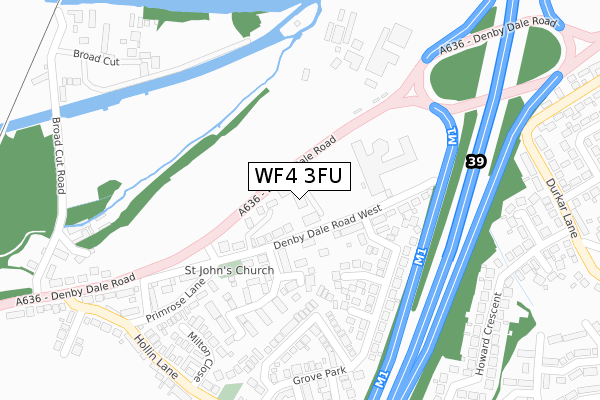
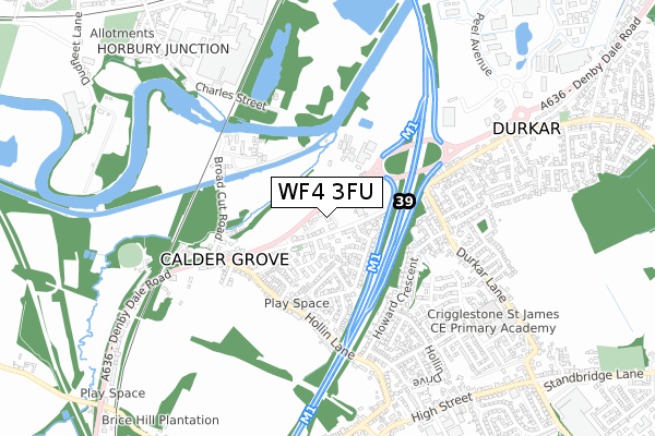
WF4 3FU is located in the Wakefield Rural electoral ward, within the metropolitan district of Wakefield and the English Parliamentary constituency of Wakefield. The Sub Integrated Care Board (ICB) Location is NHS West Yorkshire ICB - 03R and the police force is West Yorkshire. This postcode has been in use since January 2019.


GetTheData
Source: OS Open Zoomstack (Ordnance Survey)
Licence: Open Government Licence (requires attribution)
Attribution: Contains OS data © Crown copyright and database right 2025
Source: Open Postcode Geo
Licence: Open Government Licence (requires attribution)
Attribution: Contains OS data © Crown copyright and database right 2025; Contains Royal Mail data © Royal Mail copyright and database right 2025; Source: Office for National Statistics licensed under the Open Government Licence v.3.0
| Easting | 430915 |
| Northing | 416996 |
| Latitude | 53.648577 |
| Longitude | -1.533793 |
GetTheData
Source: Open Postcode Geo
Licence: Open Government Licence
| Country | England |
| Postcode District | WF4 |
➜ See where WF4 is on a map ➜ Where is Calder Grove? | |
GetTheData
Source: Land Registry Price Paid Data
Licence: Open Government Licence
| Ward | Wakefield Rural |
| Constituency | Wakefield |
GetTheData
Source: ONS Postcode Database
Licence: Open Government Licence
| Cedar Court Hotel (Denby Dale Road) | Calder Grove | 61m |
| Cedar Court Hotel (Denby Dale Road) | Calder Grove | 62m |
| Post Office (Denby Dale Road) | Calder Grove | 296m |
| Hollin Lane Grove Park (Hollin Lane) | Calder Grove | 362m |
| Hollin Lane Grove Park (Hollin Lane) | Calder Grove | 372m |
| Sandal & Agbrigg Station | 3.8km |
| Wakefield Westgate Station | 4.3km |
| Wakefield Kirkgate Station | 4.5km |
GetTheData
Source: NaPTAN
Licence: Open Government Licence
GetTheData
Source: ONS Postcode Database
Licence: Open Government Licence


➜ Get more ratings from the Food Standards Agency
GetTheData
Source: Food Standards Agency
Licence: FSA terms & conditions
| Last Collection | |||
|---|---|---|---|
| Location | Mon-Fri | Sat | Distance |
| Calder Grove P.o. | 17:30 | 11:15 | 350m |
| Howard Crescent/ Holling Lane | 16:00 | 11:00 | 572m |
| Crigglestone P.o. | 16:30 | 11:45 | 831m |
GetTheData
Source: Dracos
Licence: Creative Commons Attribution-ShareAlike
The below table lists the International Territorial Level (ITL) codes (formerly Nomenclature of Territorial Units for Statistics (NUTS) codes) and Local Administrative Units (LAU) codes for WF4 3FU:
| ITL 1 Code | Name |
|---|---|
| TLE | Yorkshire and The Humber |
| ITL 2 Code | Name |
| TLE4 | West Yorkshire |
| ITL 3 Code | Name |
| TLE45 | Wakefield |
| LAU 1 Code | Name |
| E08000036 | Wakefield |
GetTheData
Source: ONS Postcode Directory
Licence: Open Government Licence
The below table lists the Census Output Area (OA), Lower Layer Super Output Area (LSOA), and Middle Layer Super Output Area (MSOA) for WF4 3FU:
| Code | Name | |
|---|---|---|
| OA | E00060177 | |
| LSOA | E01011929 | Wakefield 036A |
| MSOA | E02002473 | Wakefield 036 |
GetTheData
Source: ONS Postcode Directory
Licence: Open Government Licence
| WF4 3AA | Denby Dale Road West | 89m |
| WF4 3DB | Denby Dale Road West | 92m |
| WF4 3FF | Sandpiper Court | 141m |
| WF4 3FG | Sandpiper Mews | 159m |
| WF4 3BZ | Grove Park | 192m |
| WF4 3FE | Sandpiper Road | 197m |
| WF4 3DZ | Rockwood Crescent | 240m |
| WF4 3ND | Denby Dale Road West | 252m |
| WF4 3DX | Grove Park | 288m |
| WF4 3DD | Primrose Lane | 299m |
GetTheData
Source: Open Postcode Geo; Land Registry Price Paid Data
Licence: Open Government Licence