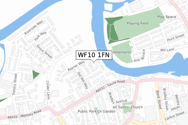
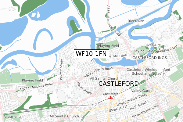
WF10 1FN is located in the Castleford Central and Glasshoughton electoral ward, within the metropolitan district of Wakefield and the English Parliamentary constituency of Normanton, Pontefract and Castleford. The Sub Integrated Care Board (ICB) Location is NHS West Yorkshire ICB - 03R and the police force is West Yorkshire. This postcode has been in use since February 2020.


GetTheData
Source: OS Open Zoomstack (Ordnance Survey)
Licence: Open Government Licence (requires attribution)
Attribution: Contains OS data © Crown copyright and database right 2025
Source: Open Postcode Geo
Licence: Open Government Licence (requires attribution)
Attribution: Contains OS data © Crown copyright and database right 2025; Contains Royal Mail data © Royal Mail copyright and database right 2025; Source: Office for National Statistics licensed under the Open Government Licence v.3.0
| Easting | 442378 |
| Northing | 425987 |
| Latitude | 53.728585 |
| Longitude | -1.359165 |
GetTheData
Source: Open Postcode Geo
Licence: Open Government Licence
| Country | England |
| Postcode District | WF10 |
➜ See where WF10 is on a map ➜ Where is Castleford? | |
GetTheData
Source: Land Registry Price Paid Data
Licence: Open Government Licence
| Ward | Castleford Central And Glasshoughton |
| Constituency | Normanton, Pontefract And Castleford |
GetTheData
Source: ONS Postcode Database
Licence: Open Government Licence
2, YORKSHIRE PLACE, CASTLEFORD, WF10 1FN 2022 26 AUG £323,500 |
GetTheData
Source: HM Land Registry Price Paid Data
Licence: Contains HM Land Registry data © Crown copyright and database right 2025. This data is licensed under the Open Government Licence v3.0.
| Wood Street Factories (Wood Street) | Castleford | 348m |
| Bank Street | Castleford | 385m |
| Wood Street Factories (Wood Street) | Castleford | 393m |
| Bank Street | Castleford | 405m |
| Bank Street | Castleford | 416m |
| Castleford Station | 0.6km |
| Glasshoughton Station | 2.4km |
| Pontefract Tanshelf Station | 4.7km |
GetTheData
Source: NaPTAN
Licence: Open Government Licence
GetTheData
Source: ONS Postcode Database
Licence: Open Government Licence


➜ Get more ratings from the Food Standards Agency
GetTheData
Source: Food Standards Agency
Licence: FSA terms & conditions
| Last Collection | |||
|---|---|---|---|
| Location | Mon-Fri | Sat | Distance |
| By Bus Station Albion Street | 18:30 | 12:30 | 408m |
| Pioneer | 18:30 | 12:30 | 448m |
| Lock Lane P.o. | 17:30 | 11:30 | 531m |
GetTheData
Source: Dracos
Licence: Creative Commons Attribution-ShareAlike
The below table lists the International Territorial Level (ITL) codes (formerly Nomenclature of Territorial Units for Statistics (NUTS) codes) and Local Administrative Units (LAU) codes for WF10 1FN:
| ITL 1 Code | Name |
|---|---|
| TLE | Yorkshire and The Humber |
| ITL 2 Code | Name |
| TLE4 | West Yorkshire |
| ITL 3 Code | Name |
| TLE45 | Wakefield |
| LAU 1 Code | Name |
| E08000036 | Wakefield |
GetTheData
Source: ONS Postcode Directory
Licence: Open Government Licence
The below table lists the Census Output Area (OA), Lower Layer Super Output Area (LSOA), and Middle Layer Super Output Area (MSOA) for WF10 1FN:
| Code | Name | |
|---|---|---|
| OA | E00059290 | |
| LSOA | E01011760 | Wakefield 002D |
| MSOA | E02002439 | Wakefield 002 |
GetTheData
Source: ONS Postcode Directory
Licence: Open Government Licence
| WF10 1PD | Savile Road | 154m |
| WF10 1BT | Cinder Lane | 164m |
| WF10 1EU | St Marys Place | 199m |
| WF10 1EY | Bradley Avenue | 210m |
| WF10 1BS | Walton Park Street | 217m |
| WF10 1EX | Rectory Avenue | 229m |
| WF10 1LE | Rhodes Street | 237m |
| WF10 2LT | Hunt Street | 238m |
| WF10 2LU | Aire Terrace | 239m |
| WF10 1LF | West Street | 242m |
GetTheData
Source: Open Postcode Geo; Land Registry Price Paid Data
Licence: Open Government Licence