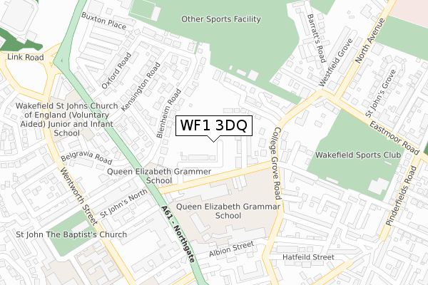
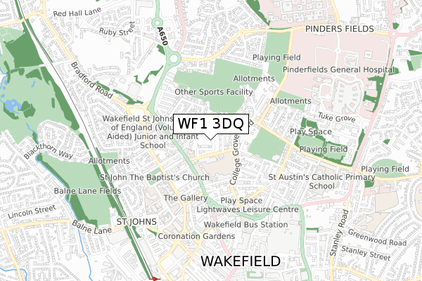
WF1 3DQ is located in the Wakefield East electoral ward, within the metropolitan district of Wakefield and the English Parliamentary constituency of Wakefield. The Sub Integrated Care Board (ICB) Location is NHS West Yorkshire ICB - 03R and the police force is West Yorkshire. This postcode has been in use since May 2019.


GetTheData
Source: OS Open Zoomstack (Ordnance Survey)
Licence: Open Government Licence (requires attribution)
Attribution: Contains OS data © Crown copyright and database right 2025
Source: Open Postcode Geo
Licence: Open Government Licence (requires attribution)
Attribution: Contains OS data © Crown copyright and database right 2025; Contains Royal Mail data © Royal Mail copyright and database right 2025; Source: Office for National Statistics licensed under the Open Government Licence v.3.0
| Easting | 433066 |
| Northing | 421638 |
| Latitude | 53.690167 |
| Longitude | -1.500760 |
GetTheData
Source: Open Postcode Geo
Licence: Open Government Licence
| Country | England |
| Postcode District | WF1 |
➜ See where WF1 is on a map ➜ Where is Wakefield? | |
GetTheData
Source: Land Registry Price Paid Data
Licence: Open Government Licence
| Ward | Wakefield East |
| Constituency | Wakefield |
GetTheData
Source: ONS Postcode Database
Licence: Open Government Licence
| Leeds Road St Johns North (Leeds Road) | St Johns | 189m |
| Leeds Rd Belgravia Road (Leeds Road) | St Johns | 194m |
| Northgate Albion Street (Northgate) | St Johns | 244m |
| Leeds Rd Kensington Road (Leeds Road) | St Johns | 251m |
| Wentworth St North Road Ter (Wentworth Street) | St Johns | 335m |
| Wakefield Westgate Station | 0.9km |
| Wakefield Kirkgate Station | 1.5km |
| Outwood Station | 2.9km |
GetTheData
Source: NaPTAN
Licence: Open Government Licence
| Percentage of properties with Next Generation Access | 100.0% |
| Percentage of properties with Superfast Broadband | 100.0% |
| Percentage of properties with Ultrafast Broadband | 16.4% |
| Percentage of properties with Full Fibre Broadband | 16.4% |
Superfast Broadband is between 30Mbps and 300Mbps
Ultrafast Broadband is > 300Mbps
| Percentage of properties unable to receive 2Mbps | 0.0% |
| Percentage of properties unable to receive 5Mbps | 0.0% |
| Percentage of properties unable to receive 10Mbps | 0.0% |
| Percentage of properties unable to receive 30Mbps | 0.0% |
GetTheData
Source: Ofcom
Licence: Ofcom Terms of Use (requires attribution)
GetTheData
Source: ONS Postcode Database
Licence: Open Government Licence


➜ Get more ratings from the Food Standards Agency
GetTheData
Source: Food Standards Agency
Licence: FSA terms & conditions
| Last Collection | |||
|---|---|---|---|
| Location | Mon-Fri | Sat | Distance |
| Blenheim Road | 18:00 | 12:15 | 177m |
| Westfields | 18:30 | 12:30 | 195m |
| 58 Albion St | 18:00 | 12:30 | 245m |
GetTheData
Source: Dracos
Licence: Creative Commons Attribution-ShareAlike
The below table lists the International Territorial Level (ITL) codes (formerly Nomenclature of Territorial Units for Statistics (NUTS) codes) and Local Administrative Units (LAU) codes for WF1 3DQ:
| ITL 1 Code | Name |
|---|---|
| TLE | Yorkshire and The Humber |
| ITL 2 Code | Name |
| TLE4 | West Yorkshire |
| ITL 3 Code | Name |
| TLE45 | Wakefield |
| LAU 1 Code | Name |
| E08000036 | Wakefield |
GetTheData
Source: ONS Postcode Directory
Licence: Open Government Licence
The below table lists the Census Output Area (OA), Lower Layer Super Output Area (LSOA), and Middle Layer Super Output Area (MSOA) for WF1 3DQ:
| Code | Name | |
|---|---|---|
| OA | E00060052 | |
| LSOA | E01011912 | Wakefield 017B |
| MSOA | E02002454 | Wakefield 017 |
GetTheData
Source: ONS Postcode Directory
Licence: Open Government Licence
| WF1 3RD | Westfield Terrace | 80m |
| WF1 3RB | Westfield Road | 95m |
| WF1 3JZ | Blenheim Road | 124m |
| WF1 3RL | College Grove Road | 164m |
| WF1 3RW | Bede Court | 171m |
| WF1 3RE | College Grove Road | 188m |
| WF1 3JY | Belmont Street | 190m |
| WF1 3UL | St Johns Place | 200m |
| WF1 3JU | Leeds Road | 207m |
| WF1 3RF | College Grove | 211m |
GetTheData
Source: Open Postcode Geo; Land Registry Price Paid Data
Licence: Open Government Licence