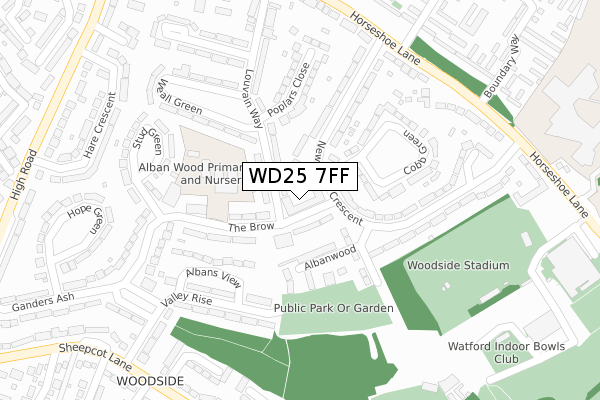
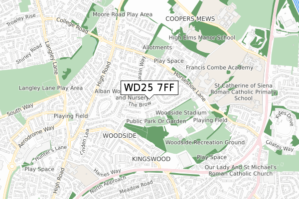
WD25 7FF is located in the Woodside electoral ward, within the local authority district of Watford and the English Parliamentary constituency of Watford. The Sub Integrated Care Board (ICB) Location is NHS Hertfordshire and West Essex ICB - 06N and the police force is Hertfordshire. This postcode has been in use since August 2019.


GetTheData
Source: OS Open Zoomstack (Ordnance Survey)
Licence: Open Government Licence (requires attribution)
Attribution: Contains OS data © Crown copyright and database right 2025
Source: Open Postcode Geo
Licence: Open Government Licence (requires attribution)
Attribution: Contains OS data © Crown copyright and database right 2025; Contains Royal Mail data © Royal Mail copyright and database right 2025; Source: Office for National Statistics licensed under the Open Government Licence v.3.0
| Easting | 510758 |
| Northing | 201001 |
| Latitude | 51.696844 |
| Longitude | -0.398818 |
GetTheData
Source: Open Postcode Geo
Licence: Open Government Licence
| Country | England |
| Postcode District | WD25 |
➜ See where WD25 is on a map ➜ Where is Watford? | |
GetTheData
Source: Land Registry Price Paid Data
Licence: Open Government Licence
| Ward | Woodside |
| Constituency | Watford |
GetTheData
Source: ONS Postcode Database
Licence: Open Government Licence
| The Brow Shops (The Brow) | Woodside | 31m |
| The Brow Shops (The Brow) | Woodside | 56m |
| Newhouse Crescent | Woodside | 197m |
| Newhouse Crescent Green (Newhouse Crescent) | Woodside | 270m |
| The Hammer In Hand Ph (Ganders Ash) | Woodside | 273m |
| Garston (Herts) Station | 1.6km |
| Watford North Station | 2.4km |
| Bricket Wood Station | 2.9km |
GetTheData
Source: NaPTAN
Licence: Open Government Licence
GetTheData
Source: ONS Postcode Database
Licence: Open Government Licence


➜ Get more ratings from the Food Standards Agency
GetTheData
Source: Food Standards Agency
Licence: FSA terms & conditions
| Last Collection | |||
|---|---|---|---|
| Location | Mon-Fri | Sat | Distance |
| Katherine Place | 17:00 | 12:00 | 614m |
| Abbey Drive | 17:00 | 12:00 | 639m |
| Briar Road | 18:30 | 12:00 | 812m |
GetTheData
Source: Dracos
Licence: Creative Commons Attribution-ShareAlike
The below table lists the International Territorial Level (ITL) codes (formerly Nomenclature of Territorial Units for Statistics (NUTS) codes) and Local Administrative Units (LAU) codes for WD25 7FF:
| ITL 1 Code | Name |
|---|---|
| TLH | East |
| ITL 2 Code | Name |
| TLH2 | Bedfordshire and Hertfordshire |
| ITL 3 Code | Name |
| TLH23 | Hertfordshire CC |
| LAU 1 Code | Name |
| E07000103 | Watford |
GetTheData
Source: ONS Postcode Directory
Licence: Open Government Licence
The below table lists the Census Output Area (OA), Lower Layer Super Output Area (LSOA), and Middle Layer Super Output Area (MSOA) for WD25 7FF:
| Code | Name | |
|---|---|---|
| OA | E00121379 | |
| LSOA | E01023904 | Watford 001A |
| MSOA | E02004968 | Watford 001 |
GetTheData
Source: ONS Postcode Directory
Licence: Open Government Licence
| WD25 7ER | Louvain Way | 66m |
| WD25 7ES | The Brow | 75m |
| WD25 7ET | The Brow | 82m |
| WD25 7EP | Louvain Way | 83m |
| WD25 7BZ | Albanwood | 111m |
| WD25 7HA | Albans View | 151m |
| WD25 7NW | The Brow | 154m |
| WD25 7HZ | Cobb Green | 168m |
| WD25 7JA | Newhouse Crescent | 179m |
| WD25 7EY | Valley Rise | 180m |
GetTheData
Source: Open Postcode Geo; Land Registry Price Paid Data
Licence: Open Government Licence