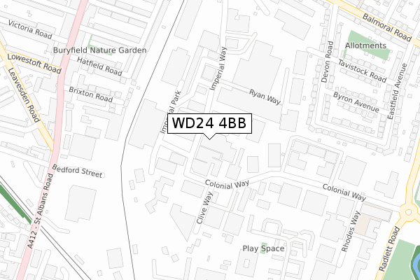
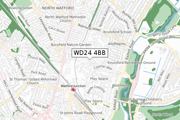
WD24 4BB is located in the Tudor electoral ward, within the local authority district of Watford and the English Parliamentary constituency of Watford. The Sub Integrated Care Board (ICB) Location is NHS Hertfordshire and West Essex ICB - 06N and the police force is Hertfordshire. This postcode has been in use since April 2020.


GetTheData
Source: OS Open Zoomstack (Ordnance Survey)
Licence: Open Government Licence (requires attribution)
Attribution: Contains OS data © Crown copyright and database right 2025
Source: Open Postcode Geo
Licence: Open Government Licence (requires attribution)
Attribution: Contains OS data © Crown copyright and database right 2025; Contains Royal Mail data © Royal Mail copyright and database right 2025; Source: Office for National Statistics licensed under the Open Government Licence v.3.0
| Easting | 511250 |
| Northing | 197760 |
| Latitude | 51.667618 |
| Longitude | -0.392734 |
GetTheData
Source: Open Postcode Geo
Licence: Open Government Licence
| Country | England |
| Postcode District | WD24 |
➜ See where WD24 is on a map ➜ Where is Watford? | |
GetTheData
Source: Land Registry Price Paid Data
Licence: Open Government Licence
| Ward | Tudor |
| Constituency | Watford |
GetTheData
Source: ONS Postcode Database
Licence: Open Government Licence
| Bermer Road (Imperial Way) | North Watford | 54m |
| Bermer Road (Imperial Way) | North Watford | 59m |
| Clive Way (Colonial Way) | North Watford | 101m |
| Clive Way (Colonial Way) | North Watford | 121m |
| Imperial Park (Imperial Way) | North Watford | 253m |
| Watford Junction Station | 0.5km |
| Watford North Station | 0.9km |
| Watford High Street Station | 1.7km |
GetTheData
Source: NaPTAN
Licence: Open Government Licence
GetTheData
Source: ONS Postcode Database
Licence: Open Government Licence


➜ Get more ratings from the Food Standards Agency
GetTheData
Source: Food Standards Agency
Licence: FSA terms & conditions
| Last Collection | |||
|---|---|---|---|
| Location | Mon-Fri | Sat | Distance |
| Imperial Way | 19:00 | 12:00 | 426m |
| Leavesden Road | 18:30 | 12:00 | 459m |
| Watford Junction Station | 18:30 | 11:30 | 549m |
GetTheData
Source: Dracos
Licence: Creative Commons Attribution-ShareAlike
The below table lists the International Territorial Level (ITL) codes (formerly Nomenclature of Territorial Units for Statistics (NUTS) codes) and Local Administrative Units (LAU) codes for WD24 4BB:
| ITL 1 Code | Name |
|---|---|
| TLH | East |
| ITL 2 Code | Name |
| TLH2 | Bedfordshire and Hertfordshire |
| ITL 3 Code | Name |
| TLH23 | Hertfordshire CC |
| LAU 1 Code | Name |
| E07000103 | Watford |
GetTheData
Source: ONS Postcode Directory
Licence: Open Government Licence
The below table lists the Census Output Area (OA), Lower Layer Super Output Area (LSOA), and Middle Layer Super Output Area (MSOA) for WD24 4BB:
| Code | Name | |
|---|---|---|
| OA | E00121348 | |
| LSOA | E01023895 | Watford 005A |
| MSOA | E02004972 | Watford 005 |
GetTheData
Source: ONS Postcode Directory
Licence: Open Government Licence
| WD24 4YR | Colonial Way | 73m |
| WD24 4YH | Empire Centre | 156m |
| WD24 4PT | Colonial Way | 162m |
| WD24 4PR | Colonial Business Park | 170m |
| WD24 4DP | Ellenbrook Close | 223m |
| WD24 4WP | Watford Interchange | 225m |
| WD24 4PE | Norbury Avenue | 245m |
| WD24 4DE | Bradshaw Road | 262m |
| WD24 4WH | Colonial Way | 263m |
| WD24 4DD | Bradshaw Road | 274m |
GetTheData
Source: Open Postcode Geo; Land Registry Price Paid Data
Licence: Open Government Licence