WD18 0LB maps, stats, and open data
- Home
- Postcode
- WD
- WD18
- WD18 0
WD18 0LB is located in the Central electoral ward, within the local authority district of Watford and the English Parliamentary constituency of Watford. The Sub Integrated Care Board (ICB) Location is NHS Hertfordshire and West Essex ICB - 06N and the police force is Hertfordshire. This postcode has been in use since January 2019.
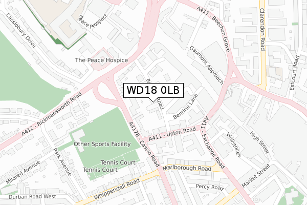
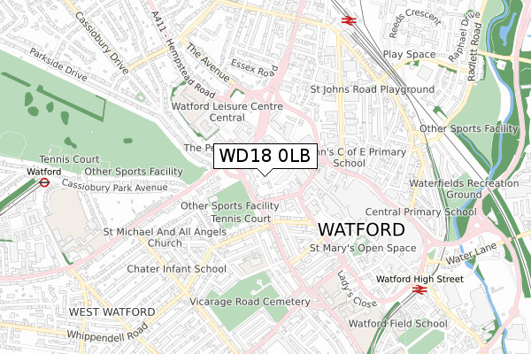
WD18 0LB maps


Source: OS Open Zoomstack (Ordnance Survey)
Licence: Open Government Licence (requires attribution)
Attribution: Contains OS data © Crown copyright and database right 2025
Source: Open Postcode GeoLicence: Open Government Licence (requires attribution)
Attribution: Contains OS data © Crown copyright and database right 2025; Contains Royal Mail data © Royal Mail copyright and database right 2025; Source: Office for National Statistics licensed under the Open Government Licence v.3.0
WD18 0LB geodata
| Easting | 510621 |
| Northing | 196612 |
| Latitude | 51.657424 |
| Longitude | -0.402189 |
Where is WD18 0LB?
| Country | England |
| Postcode District | WD18 |
Politics
| Ward | Central |
|---|
| Constituency | Watford |
|---|
Transport
Nearest bus stops to WD18 0LB
| Exchange Road | Watford | 217m |
| Town Hall (Rickmansworth Road) | Watford | 234m |
| Exchange Road | Watford | 235m |
| Cassio Road (Whippendell Road) | Watford | 242m |
| Cassiobury Park Avenue (Rickmansworth Road) | Watford | 313m |
Nearest underground/metro/tram to WD18 0LB
| Watford Underground Station | Watford | 1,049m |
Nearest railway stations to WD18 0LB
| Watford Junction Station | 0.8km |
| Watford High Street Station | 0.9km |
| Bushey Station | 1.7km |
Broadband
Broadband access in WD18 0LB (2020 data)
| Percentage of properties with Next Generation Access | 100.0% |
| Percentage of properties with Superfast Broadband | 100.0% |
| Percentage of properties with Ultrafast Broadband | 100.0% |
| Percentage of properties with Full Fibre Broadband | 0.0% |
Superfast Broadband is between 30Mbps and 300Mbps
Ultrafast Broadband is > 300Mbps
Broadband limitations in WD18 0LB (2020 data)
| Percentage of properties unable to receive 2Mbps | 0.0% |
| Percentage of properties unable to receive 5Mbps | 0.0% |
| Percentage of properties unable to receive 10Mbps | 0.0% |
| Percentage of properties unable to receive 30Mbps | 0.0% |
Deprivation
56.6% of English postcodes are less deprived than
WD18 0LB:
Food Standards Agency
Three nearest food hygiene ratings to WD18 0LB (metres)
Rosslyn Court
Silver Springs
Best Western White House Hotel
➜ Get more ratings from the Food Standards Agency
Nearest post box to WD18 0LB
| | Last Collection | |
|---|
| Location | Mon-Fri | Sat | Distance |
|---|
| The Pond P.o | 19:00 | 12:00 | 232m |
| Clarendon Road | 18:30 | 12:30 | 330m |
| King Street | 18:30 | 12:00 | 430m |
WD18 0LB ITL and WD18 0LB LAU
The below table lists the International Territorial Level (ITL) codes (formerly Nomenclature of Territorial Units for Statistics (NUTS) codes) and Local Administrative Units (LAU) codes for WD18 0LB:
| ITL 1 Code | Name |
|---|
| TLH | East |
| ITL 2 Code | Name |
|---|
| TLH2 | Bedfordshire and Hertfordshire |
| ITL 3 Code | Name |
|---|
| TLH23 | Hertfordshire CC |
| LAU 1 Code | Name |
|---|
| E07000103 | Watford |
WD18 0LB census areas
The below table lists the Census Output Area (OA), Lower Layer Super Output Area (LSOA), and Middle Layer Super Output Area (MSOA) for WD18 0LB:
| Code | Name |
|---|
| OA | E00121171 | |
|---|
| LSOA | E01023861 | Watford 009C |
|---|
| MSOA | E02004976 | Watford 009 |
|---|
Nearest postcodes to WD18 0LB


