Property/Postcode Data Search:
WC2N 6AT maps, stats, and open data
WC2N 6AT is located in the St James's electoral ward, within the London borough of Westminster and the English Parliamentary constituency of Cities of London and Westminster. The Sub Integrated Care Board (ICB) Location is NHS North West London ICB - W2U3Z and the police force is Metropolitan Police. This postcode has been in use since April 2020.
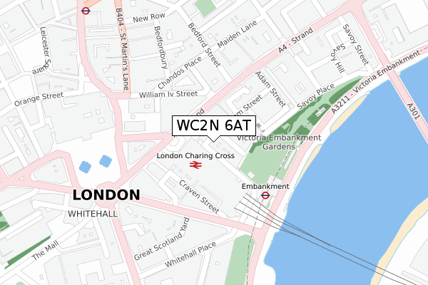
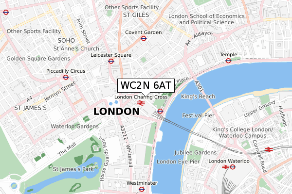
WC2N 6AT maps


Source: OS Open Zoomstack (Ordnance Survey)
Licence: Open Government Licence (requires attribution)
Attribution: Contains OS data © Crown copyright and database right 2025
Source: Open Postcode Geo
Licence: Open Government Licence (requires attribution)
Attribution: Contains OS data © Crown copyright and database right 2025; Contains Royal Mail data © Royal Mail copyright and database right 2025; Source: Office for National Statistics licensed under the Open Government Licence v.3.0
Licence: Open Government Licence (requires attribution)
Attribution: Contains OS data © Crown copyright and database right 2025
Source: Open Postcode Geo
Licence: Open Government Licence (requires attribution)
Attribution: Contains OS data © Crown copyright and database right 2025; Contains Royal Mail data © Royal Mail copyright and database right 2025; Source: Office for National Statistics licensed under the Open Government Licence v.3.0
WC2N 6AT geodata
| Easting | 530286 |
| Northing | 180503 |
| Latitude | 51.508447 |
| Longitude | -0.124025 |
Where is WC2N 6AT?
| Country | England |
| Postcode District | WC2N |
Politics
| Ward | St James's |
|---|---|
| Constituency | Cities Of London And Westminster |
Transport
Nearest bus stops to WC2N 6AT
| Charing Cross (Strand) | Charing Cross | 102m |
| Bedford Street | Charing Cross | 149m |
| Trafalgar Squarecharing Cross (Strand) | Charing Cross | 152m |
| Trafalgar Squarecharing Cross | Charing Cross | 153m |
| Trafalgar Squarecharing Cross | Charing Cross | 167m |
Nearest underground/metro/tram to WC2N 6AT
| Embankment Underground Station | Embankment | 182m |
| Charing Cross Underground Station | Charing Cross | 252m |
| Leicester Square Underground Station | Leicester Square | 446m |
| Covent Garden Underground Station | Covent Garden | 518m |
| Piccadilly Circus Underground Station | Piccadilly Circus | 700m |
Nearest railway stations to WC2N 6AT
| London Charing Cross Station | 0.1km |
| London Waterloo Station | 1km |
| London Waterloo East Station | 1.2km |
Deprivation
76.7% of English postcodes are less deprived than WC2N 6AT:Food Standards Agency
Three nearest food hygiene ratings to WC2N 6AT (metres)
Hobsons Fish and Chips

13 VILLIERS STREET
13m
Doughnut Time

BASEMENT AND GROUND FLOOR 17 VILLIERS STREET
13m
Bunsik

19 VILLIERS STREET
15m
➜ Get more ratings from the Food Standards Agency
Nearest post box to WC2N 6AT
| Last Collection | |||
|---|---|---|---|
| Location | Mon-Fri | Sat | Distance |
| John Adam Street (Buck'ham St) | 18:30 | 12:00 | 21m |
| Charing X Station (Forecourt) | 18:30 | 12:00 | 73m |
| Villiers Street (Embank't Stn) | 18:30 | 12:00 | 100m |
WC2N 6AT ITL and WC2N 6AT LAU
The below table lists the International Territorial Level (ITL) codes (formerly Nomenclature of Territorial Units for Statistics (NUTS) codes) and Local Administrative Units (LAU) codes for WC2N 6AT:
| ITL 1 Code | Name |
|---|---|
| TLI | London |
| ITL 2 Code | Name |
| TLI3 | Inner London - West |
| ITL 3 Code | Name |
| TLI32 | Westminster |
| LAU 1 Code | Name |
| E09000033 | Westminster |
WC2N 6AT census areas
The below table lists the Census Output Area (OA), Lower Layer Super Output Area (LSOA), and Middle Layer Super Output Area (MSOA) for WC2N 6AT:
| Code | Name | |
|---|---|---|
| OA | E00023931 | |
| LSOA | E01004734 | Westminster 018A |
| MSOA | E02000977 | Westminster 018 |
Nearest postcodes to WC2N 6AT
| WC2N 6AS | John Adam Street | 7m |
| WC2N 6BX | Buckingham Street | 14m |
| WC2N 6HU | John Adam Street | 17m |
| WC2N 6AR | Villiers Street | 20m |
| WC2N 6NQ | Villiers Street | 27m |
| WC2N 6ND | Villiers Street | 30m |
| WC2N 6EF | Buckingham Street | 40m |
| WC2N 6EG | Buckingham Street | 48m |
| WC2N 6JG | John Adam Street | 56m |
| WC2N 6DR | Buckingham Street | 58m |