Property/Postcode Data Search:
WA8 2EP maps, stats, and open data
WA8 2EP is located in the Central & West Bank electoral ward, within the unitary authority of Halton and the English Parliamentary constituency of Halton. The Sub Integrated Care Board (ICB) Location is NHS Cheshire and Merseyside ICB - 01F and the police force is Cheshire. This postcode has been in use since April 2018.
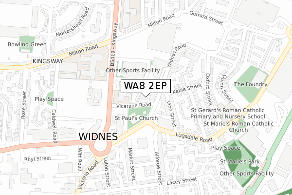
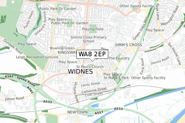
WA8 2EP maps


Source: OS Open Zoomstack (Ordnance Survey)
Licence: Open Government Licence (requires attribution)
Attribution: Contains OS data © Crown copyright and database right 2025
Source: Open Postcode Geo
Licence: Open Government Licence (requires attribution)
Attribution: Contains OS data © Crown copyright and database right 2025; Contains Royal Mail data © Royal Mail copyright and database right 2025; Source: Office for National Statistics licensed under the Open Government Licence v.3.0
Licence: Open Government Licence (requires attribution)
Attribution: Contains OS data © Crown copyright and database right 2025
Source: Open Postcode Geo
Licence: Open Government Licence (requires attribution)
Attribution: Contains OS data © Crown copyright and database right 2025; Contains Royal Mail data © Royal Mail copyright and database right 2025; Source: Office for National Statistics licensed under the Open Government Licence v.3.0
WA8 2EP geodata
| Easting | 351406 |
| Northing | 385407 |
| Latitude | 53.363304 |
| Longitude | -2.731683 |
Where is WA8 2EP?
| Country | England |
| Postcode District | WA8 |
Politics
| Ward | Central & West Bank |
|---|---|
| Constituency | Halton |
Transport
Nearest bus stops to WA8 2EP
| Widnes Town Hall (Vicarage Road) | Widnes | 15m |
| Vicarage Road | Widnes | 45m |
| Widnes Town Hall (Widnes Road) | Widnes | 49m |
| Widnes Vicarage Road (Alighting Only) (Vicarage Road) | Widnes | 82m |
| Kingsway | Widnes | 134m |
Nearest railway stations to WA8 2EP
| Widnes Station | 1.7km |
| Runcorn Station | 2.8km |
| Hough Green Station | 3.1km |
Deprivation
97.2% of English postcodes are less deprived than WA8 2EP:Food Standards Agency
Three nearest food hygiene ratings to WA8 2EP (metres)
Long Loaf Community Lunch - St Paul's Church

Victoria Square
53m
Bengal Spice

24-26 Widnes Road
56m
Champions Pizza

28 Widnes Road
58m
➜ Get more ratings from the Food Standards Agency
Nearest post box to WA8 2EP
| Last Collection | |||
|---|---|---|---|
| Location | Mon-Fri | Sat | Distance |
| Head Office | 18:30 | 12:30 | 35m |
| Elliott Street | 17:30 | 11:00 | 448m |
| Waterloo Road | 17:30 | 11:00 | 477m |
WA8 2EP ITL and WA8 2EP LAU
The below table lists the International Territorial Level (ITL) codes (formerly Nomenclature of Territorial Units for Statistics (NUTS) codes) and Local Administrative Units (LAU) codes for WA8 2EP:
| ITL 1 Code | Name |
|---|---|
| TLD | North West (England) |
| ITL 2 Code | Name |
| TLD7 | Merseyside |
| ITL 3 Code | Name |
| TLD71 | East Merseyside |
| LAU 1 Code | Name |
| E06000006 | Halton |
WA8 2EP census areas
The below table lists the Census Output Area (OA), Lower Layer Super Output Area (LSOA), and Middle Layer Super Output Area (MSOA) for WA8 2EP:
| Code | Name | |
|---|---|---|
| OA | E00062682 | |
| LSOA | E01012424 | Halton 007C |
| MSOA | E02002580 | Halton 007 |
Nearest postcodes to WA8 2EP
| WA8 6AH | Widnes Road | 26m |
| WA8 6AD | Widnes Road | 58m |
| WA8 6DW | Vine Street | 104m |
| WA8 6AP | Widnes Road | 132m |
| WA8 6DQ | Trinity Place | 135m |
| WA8 6DF | Keble Street | 139m |
| WA8 7QB | Major Cross Street | 141m |
| WA8 6DJ | Lugsdale Road | 173m |
| WA8 6DG | Cambridge Street | 181m |
| WA8 7RT | Market Street | 181m |