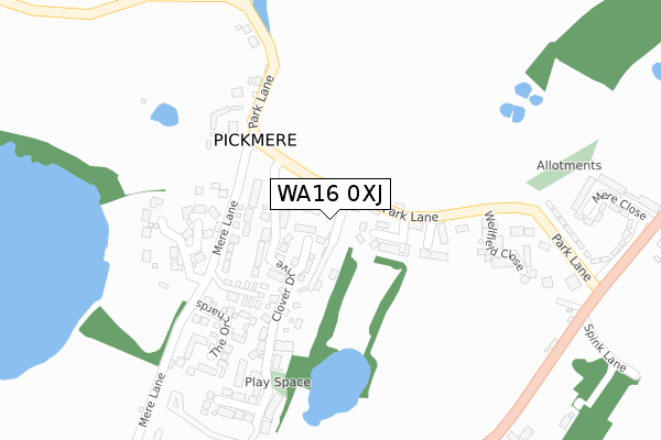
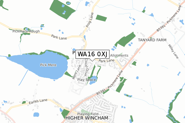
WA16 0XJ is located in the High Legh electoral ward, within the unitary authority of Cheshire East and the English Parliamentary constituency of Tatton. The Sub Integrated Care Board (ICB) Location is NHS Cheshire and Merseyside ICB - 27D and the police force is Cheshire. This postcode has been in use since February 2019.


GetTheData
Source: OS Open Zoomstack (Ordnance Survey)
Licence: Open Government Licence (requires attribution)
Attribution: Contains OS data © Crown copyright and database right 2025
Source: Open Postcode Geo
Licence: Open Government Licence (requires attribution)
Attribution: Contains OS data © Crown copyright and database right 2025; Contains Royal Mail data © Royal Mail copyright and database right 2025; Source: Office for National Statistics licensed under the Open Government Licence v.3.0
| Easting | 368927 |
| Northing | 377164 |
| Latitude | 53.290537 |
| Longitude | -2.467595 |
GetTheData
Source: Open Postcode Geo
Licence: Open Government Licence
| Country | England |
| Postcode District | WA16 |
➜ See where WA16 is on a map ➜ Where is Pickmere? | |
GetTheData
Source: Land Registry Price Paid Data
Licence: Open Government Licence
| Ward | High Legh |
| Constituency | Tatton |
GetTheData
Source: ONS Postcode Database
Licence: Open Government Licence
| The Elms Ph (Park Lane) | Pickmere | 30m |
| Red Lion Ph (Pickmere Lane) | Pickmere | 444m |
| Red Lion Ph (Pickmere Lane) | Pickmere | 458m |
| Pear Tree Drive (Pickmere Lane) | Higher Wincham | 495m |
| Raynors Corner (Church Street) | Higher Wincham | 629m |
| Lostock Gralam Station | 2.5km |
| Plumley Station | 3.7km |
| Northwich Station | 3.8km |
GetTheData
Source: NaPTAN
Licence: Open Government Licence
GetTheData
Source: ONS Postcode Database
Licence: Open Government Licence


➜ Get more ratings from the Food Standards Agency
GetTheData
Source: Food Standards Agency
Licence: FSA terms & conditions
| Last Collection | |||
|---|---|---|---|
| Location | Mon-Fri | Sat | Distance |
| Pickmere So | 16:00 | 09:30 | 218m |
| Church Street | 16:00 | 08:00 | 1,093m |
| Bate Heath | 16:15 | 07:00 | 2,106m |
GetTheData
Source: Dracos
Licence: Creative Commons Attribution-ShareAlike
The below table lists the International Territorial Level (ITL) codes (formerly Nomenclature of Territorial Units for Statistics (NUTS) codes) and Local Administrative Units (LAU) codes for WA16 0XJ:
| ITL 1 Code | Name |
|---|---|
| TLD | North West (England) |
| ITL 2 Code | Name |
| TLD6 | Cheshire |
| ITL 3 Code | Name |
| TLD62 | Cheshire East |
| LAU 1 Code | Name |
| E06000049 | Cheshire East |
GetTheData
Source: ONS Postcode Directory
Licence: Open Government Licence
The below table lists the Census Output Area (OA), Lower Layer Super Output Area (LSOA), and Middle Layer Super Output Area (MSOA) for WA16 0XJ:
| Code | Name | |
|---|---|---|
| OA | E00093869 | |
| LSOA | E01018598 | Cheshire East 007A |
| MSOA | E02003859 | Cheshire East 007 |
GetTheData
Source: ONS Postcode Directory
Licence: Open Government Licence
| WA16 0WG | Thistle Close | 55m |
| WA16 0WH | Wayfarers Court | 57m |
| WA16 0LP | Merehaven Close | 101m |
| WA16 0YA | Beaver Close | 116m |
| WA16 0JX | Park Lane | 132m |
| WA16 0LR | Mere Lane | 164m |
| WA16 0WF | Clover Drive | 169m |
| WA16 0LU | Crofters Close | 176m |
| WA16 0LB | Mere Lane | 178m |
| WA16 0LF | Rileys Lane | 202m |
GetTheData
Source: Open Postcode Geo; Land Registry Price Paid Data
Licence: Open Government Licence