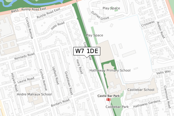
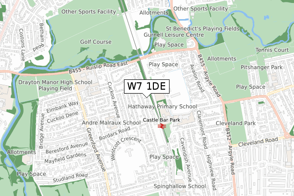
W7 1DE is located in the Pitshanger electoral ward, within the London borough of Ealing and the English Parliamentary constituency of Ealing North. The Sub Integrated Care Board (ICB) Location is NHS North West London ICB - W2U3Z and the police force is Metropolitan Police. This postcode has been in use since December 2018.


GetTheData
Source: OS Open Zoomstack (Ordnance Survey)
Licence: Open Government Licence (requires attribution)
Attribution: Contains OS data © Crown copyright and database right 2025
Source: Open Postcode Geo
Licence: Open Government Licence (requires attribution)
Attribution: Contains OS data © Crown copyright and database right 2025; Contains Royal Mail data © Royal Mail copyright and database right 2025; Source: Office for National Statistics licensed under the Open Government Licence v.3.0
| Easting | 515728 |
| Northing | 182002 |
| Latitude | 51.525085 |
| Longitude | -0.333206 |
GetTheData
Source: Open Postcode Geo
Licence: Open Government Licence
| Country | England |
| Postcode District | W7 |
➜ See where W7 is on a map ➜ Where is London? | |
GetTheData
Source: Land Registry Price Paid Data
Licence: Open Government Licence
| Ward | Pitshanger |
| Constituency | Ealing North |
GetTheData
Source: ONS Postcode Database
Licence: Open Government Licence
| Copley Close (Bordars Road) | Greenford | 195m |
| Castle Bar Park (Copley Close) | West Ealing | 269m |
| Cuckoo Avenue Greenford (Bordars Road) | Greenford | 292m |
| Cuckoo Avenue Greenford (Bordars Road) | Greenford | 303m |
| Castle Bar Park (Copley Close) | West Ealing | 332m |
| Perivale Underground Station | Perivale | 1,461m |
| Castle Bar Park Station | 0.3km |
| Drayton Green Station | 1km |
| South Greenford Station | 1km |
GetTheData
Source: NaPTAN
Licence: Open Government Licence
| Percentage of properties with Next Generation Access | 100.0% |
| Percentage of properties with Superfast Broadband | 100.0% |
| Percentage of properties with Ultrafast Broadband | 100.0% |
| Percentage of properties with Full Fibre Broadband | 100.0% |
Superfast Broadband is between 30Mbps and 300Mbps
Ultrafast Broadband is > 300Mbps
| Percentage of properties unable to receive 2Mbps | 0.0% |
| Percentage of properties unable to receive 5Mbps | 0.0% |
| Percentage of properties unable to receive 10Mbps | 0.0% |
| Percentage of properties unable to receive 30Mbps | 0.0% |
GetTheData
Source: Ofcom
Licence: Ofcom Terms of Use (requires attribution)
GetTheData
Source: ONS Postcode Database
Licence: Open Government Licence


➜ Get more ratings from the Food Standards Agency
GetTheData
Source: Food Standards Agency
Licence: FSA terms & conditions
| Last Collection | |||
|---|---|---|---|
| Location | Mon-Fri | Sat | Distance |
| Bordars Road | 17:30 | 12:00 | 235m |
| Harp Road | 17:30 | 12:00 | 296m |
| Gurnell Grove | 17:30 | 12:00 | 414m |
GetTheData
Source: Dracos
Licence: Creative Commons Attribution-ShareAlike
The below table lists the International Territorial Level (ITL) codes (formerly Nomenclature of Territorial Units for Statistics (NUTS) codes) and Local Administrative Units (LAU) codes for W7 1DE:
| ITL 1 Code | Name |
|---|---|
| TLI | London |
| ITL 2 Code | Name |
| TLI7 | Outer London - West and North West |
| ITL 3 Code | Name |
| TLI73 | Ealing |
| LAU 1 Code | Name |
| E09000009 | Ealing |
GetTheData
Source: ONS Postcode Directory
Licence: Open Government Licence
The below table lists the Census Output Area (OA), Lower Layer Super Output Area (LSOA), and Middle Layer Super Output Area (MSOA) for W7 1DE:
| Code | Name | |
|---|---|---|
| OA | E00006016 | |
| LSOA | E01001210 | Ealing 016A |
| MSOA | E02000253 | Ealing 016 |
GetTheData
Source: ONS Postcode Directory
Licence: Open Government Licence
| W7 1JY | Copley Close | 48m |
| W7 1JQ | Harp Road | 59m |
| W7 1JZ | Copley Close | 76m |
| W7 1JF | Harp Road | 80m |
| W7 1PY | Copley Close | 105m |
| W7 1JR | Greatdown Road | 131m |
| W7 1PZ | Copley Close | 132m |
| W7 1JP | Kennedy Path | 152m |
| W7 1JS | Greatdown Road | 159m |
| W7 1QA | Copley Close | 166m |
GetTheData
Source: Open Postcode Geo; Land Registry Price Paid Data
Licence: Open Government Licence