UB8 2FB maps, stats, and open data
- Home
- Postcode
- UB
- UB8
- UB8 2
UB8 2FB is located in the Colham & Cowley electoral ward, within the London borough of Hillingdon and the English Parliamentary constituency of Uxbridge and South Ruislip. The Sub Integrated Care Board (ICB) Location is NHS North West London ICB - W2U3Z and the police force is Metropolitan Police. This postcode has been in use since August 2018.
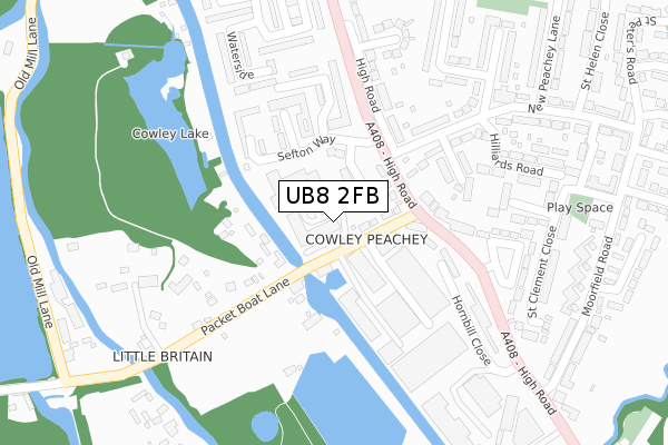
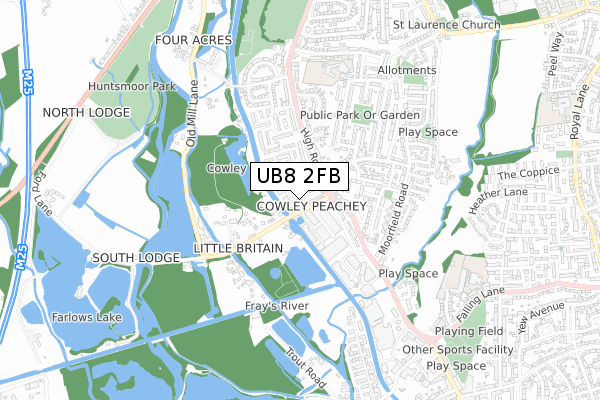
UB8 2FB maps


Source: OS Open Zoomstack (Ordnance Survey)
Licence: Open Government Licence (requires attribution)
Attribution: Contains OS data © Crown copyright and database right 2025
Source: Open Postcode GeoLicence: Open Government Licence (requires attribution)
Attribution: Contains OS data © Crown copyright and database right 2025; Contains Royal Mail data © Royal Mail copyright and database right 2025; Source: Office for National Statistics licensed under the Open Government Licence v.3.0
UB8 2FB geodata
| Easting | 505401 |
| Northing | 181301 |
| Latitude | 51.520804 |
| Longitude | -0.482218 |
Where is UB8 2FB?
| Country | England |
| Postcode District | UB8 |
Politics
| Ward | Colham & Cowley |
|---|
| Constituency | Uxbridge And South Ruislip |
|---|
Transport
Nearest bus stops to UB8 2FB
| Packet Boat Lane | Cowley Peachey | 188m |
| New Peachey Lane | Cowley Peachey | 214m |
| Sefton Way (High Road) | Cowley Peachey | 240m |
| Packet Boat Lane | Cowley Peachey | 264m |
| Moorfield Road | Cowley Peachey | 378m |
Nearest railway stations to UB8 2FB
| West Drayton Station | 1.4km |
| Iver Station | 2.2km |
| Langley (Berks) Station | 4.4km |
Broadband
Broadband access in UB8 2FB (2020 data)
| Percentage of properties with Next Generation Access | 100.0% |
| Percentage of properties with Superfast Broadband | 100.0% |
| Percentage of properties with Ultrafast Broadband | 100.0% |
| Percentage of properties with Full Fibre Broadband | 100.0% |
Superfast Broadband is between 30Mbps and 300Mbps
Ultrafast Broadband is > 300Mbps
Broadband limitations in UB8 2FB (2020 data)
| Percentage of properties unable to receive 2Mbps | 0.0% |
| Percentage of properties unable to receive 5Mbps | 0.0% |
| Percentage of properties unable to receive 10Mbps | 0.0% |
| Percentage of properties unable to receive 30Mbps | 0.0% |
Deprivation
76.2% of English postcodes are less deprived than
UB8 2FB:
Food Standards Agency
Three nearest food hygiene ratings to UB8 2FB (metres)
Panthers Health & Fitness Studio
Unit 2 Tomo Industrial Estate
111m
The WatersEdge
Waters Edge 4 Canal Cottages
112m
Lee Garden Oriental Express
➜ Get more ratings from the Food Standards Agency
Nearest post box to UB8 2FB
| | Last Collection | |
|---|
| Location | Mon-Fri | Sat | Distance |
|---|
| High Road | 18:45 | 12:00 | 142m |
| Moorfield Road Post Office | 17:20 | 12:00 | 432m |
| Maygoods Green | 18:45 | 12:00 | 659m |
UB8 2FB ITL and UB8 2FB LAU
The below table lists the International Territorial Level (ITL) codes (formerly Nomenclature of Territorial Units for Statistics (NUTS) codes) and Local Administrative Units (LAU) codes for UB8 2FB:
| ITL 1 Code | Name |
|---|
| TLI | London |
| ITL 2 Code | Name |
|---|
| TLI7 | Outer London - West and North West |
| ITL 3 Code | Name |
|---|
| TLI74 | Harrow and Hillingdon |
| LAU 1 Code | Name |
|---|
| E09000017 | Hillingdon |
UB8 2FB census areas
The below table lists the Census Output Area (OA), Lower Layer Super Output Area (LSOA), and Middle Layer Super Output Area (MSOA) for UB8 2FB:
| Code | Name |
|---|
| OA | E00012536 | |
|---|
| LSOA | E01002519 | Hillingdon 022D |
|---|
| MSOA | E02000515 | Hillingdon 022 |
|---|
Nearest postcodes to UB8 2FB


