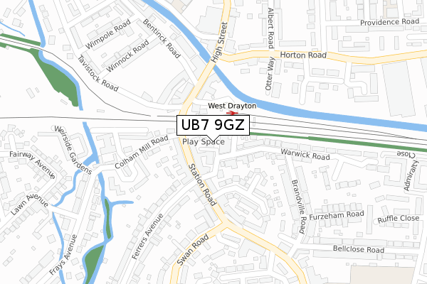
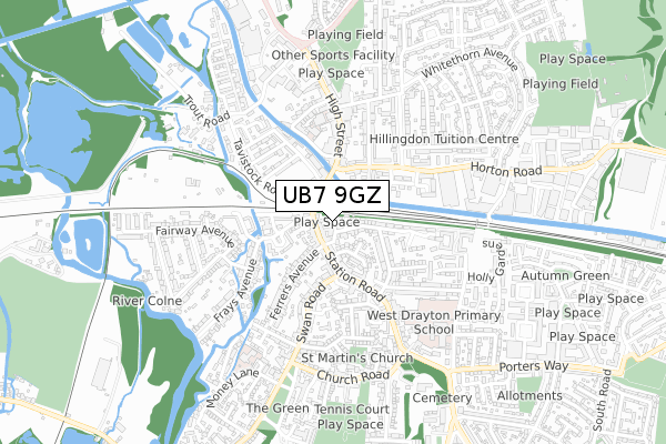
UB7 9GZ is located in the West Drayton electoral ward, within the London borough of Hillingdon and the English Parliamentary constituency of Hayes and Harlington. The Sub Integrated Care Board (ICB) Location is NHS North West London ICB - W2U3Z and the police force is Metropolitan Police. This postcode has been in use since April 2020.


GetTheData
Source: OS Open Zoomstack (Ordnance Survey)
Licence: Open Government Licence (requires attribution)
Attribution: Contains OS data © Crown copyright and database right 2025
Source: Open Postcode Geo
Licence: Open Government Licence (requires attribution)
Attribution: Contains OS data © Crown copyright and database right 2025; Contains Royal Mail data © Royal Mail copyright and database right 2025; Source: Office for National Statistics licensed under the Open Government Licence v.3.0
| Easting | 506059 |
| Northing | 180050 |
| Latitude | 51.509437 |
| Longitude | -0.473113 |
GetTheData
Source: Open Postcode Geo
Licence: Open Government Licence
| Country | England |
| Postcode District | UB7 |
➜ See where UB7 is on a map ➜ Where is West Drayton? | |
GetTheData
Source: Land Registry Price Paid Data
Licence: Open Government Licence
| Ward | West Drayton |
| Constituency | Hayes And Harlington |
GetTheData
Source: ONS Postcode Database
Licence: Open Government Licence
| West Drayton | West Drayton | 83m |
| West Drayton | West Drayton | 84m |
| West Drayton (Station Approach) | West Drayton | 86m |
| Ferrers Avenue | West Drayton | 106m |
| West Drayton | West Drayton | 110m |
| West Drayton Station | 0.1km |
| Iver Station | 2.3km |
| Hayes & Harlington Station | 3.7km |
GetTheData
Source: NaPTAN
Licence: Open Government Licence
GetTheData
Source: ONS Postcode Database
Licence: Open Government Licence


➜ Get more ratings from the Food Standards Agency
GetTheData
Source: Food Standards Agency
Licence: FSA terms & conditions
| Last Collection | |||
|---|---|---|---|
| Location | Mon-Fri | Sat | Distance |
| High Street | 18:30 | 12:30 | 118m |
| West Drayton Post Office | 17:10 | 12:00 | 130m |
| Yiewsley Post Office | 18:30 | 12:00 | 343m |
GetTheData
Source: Dracos
Licence: Creative Commons Attribution-ShareAlike
The below table lists the International Territorial Level (ITL) codes (formerly Nomenclature of Territorial Units for Statistics (NUTS) codes) and Local Administrative Units (LAU) codes for UB7 9GZ:
| ITL 1 Code | Name |
|---|---|
| TLI | London |
| ITL 2 Code | Name |
| TLI7 | Outer London - West and North West |
| ITL 3 Code | Name |
| TLI74 | Harrow and Hillingdon |
| LAU 1 Code | Name |
| E09000017 | Hillingdon |
GetTheData
Source: ONS Postcode Directory
Licence: Open Government Licence
The below table lists the Census Output Area (OA), Lower Layer Super Output Area (LSOA), and Middle Layer Super Output Area (MSOA) for UB7 9GZ:
| Code | Name | |
|---|---|---|
| OA | E00012589 | |
| LSOA | E01002529 | Hillingdon 029C |
| MSOA | E02000522 | Hillingdon 029 |
GetTheData
Source: ONS Postcode Directory
Licence: Open Government Licence
| UB7 9BS | Warwick Road | 25m |
| UB7 9BT | Warwick Road | 52m |
| UB7 7BT | Station Road | 57m |
| UB7 7BY | Station Road | 85m |
| UB7 7DJ | High Street | 112m |
| UB7 7DD | Station Road | 129m |
| UB7 7JR | Cherry Orchard | 130m |
| UB7 7QG | High Street | 136m |
| UB7 9BZ | Warwick Road | 145m |
| UB7 7LN | Station Road | 151m |
GetTheData
Source: Open Postcode Geo; Land Registry Price Paid Data
Licence: Open Government Licence