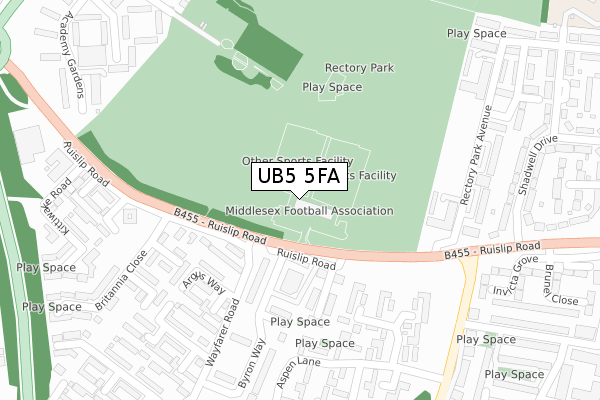
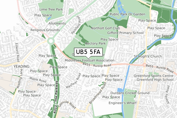
UB5 5FA is located in the Northolt West End electoral ward, within the London borough of Ealing and the English Parliamentary constituency of Ealing North. The Sub Integrated Care Board (ICB) Location is NHS North West London ICB - W2U3Z and the police force is Metropolitan Police. This postcode has been in use since July 2018.


GetTheData
Source: OS Open Zoomstack (Ordnance Survey)
Licence: Open Government Licence (requires attribution)
Attribution: Contains OS data © Crown copyright and database right 2025
Source: Open Postcode Geo
Licence: Open Government Licence (requires attribution)
Attribution: Contains OS data © Crown copyright and database right 2025; Contains Royal Mail data © Royal Mail copyright and database right 2025; Source: Office for National Statistics licensed under the Open Government Licence v.3.0
| Easting | 512244 |
| Northing | 182875 |
| Latitude | 51.533634 |
| Longitude | -0.383128 |
GetTheData
Source: Open Postcode Geo
Licence: Open Government Licence
| Country | England |
| Postcode District | UB5 |
➜ See where UB5 is on a map ➜ Where is Northolt? | |
GetTheData
Source: Land Registry Price Paid Data
Licence: Open Government Licence
| Ward | Northolt West End |
| Constituency | Ealing North |
GetTheData
Source: ONS Postcode Database
Licence: Open Government Licence
| Wayfarer Road | Northolt | 125m |
| Wayfarer Road | Northolt | 233m |
| Broadmead Road (Ub5) (Ruislip Road) | Northolt | 255m |
| Brick Lane Northolt (Broadmead Road) | Northolt | 332m |
| Broadmead Road (Ub5) (Ruislip Road) | Northolt | 347m |
| Greenford Station | 2.8km |
| South Ruislip Station | 2.8km |
| Southall Station | 3.1km |
GetTheData
Source: NaPTAN
Licence: Open Government Licence
GetTheData
Source: ONS Postcode Database
Licence: Open Government Licence


➜ Get more ratings from the Food Standards Agency
GetTheData
Source: Food Standards Agency
Licence: FSA terms & conditions
| Last Collection | |||
|---|---|---|---|
| Location | Mon-Fri | Sat | Distance |
| Byron Way | 18:15 | 12:30 | 200m |
| Rectory Gardens | 17:30 | 12:15 | 381m |
| Derwent Drive | 17:30 | 12:15 | 590m |
GetTheData
Source: Dracos
Licence: Creative Commons Attribution-ShareAlike
The below table lists the International Territorial Level (ITL) codes (formerly Nomenclature of Territorial Units for Statistics (NUTS) codes) and Local Administrative Units (LAU) codes for UB5 5FA:
| ITL 1 Code | Name |
|---|---|
| TLI | London |
| ITL 2 Code | Name |
| TLI7 | Outer London - West and North West |
| ITL 3 Code | Name |
| TLI73 | Ealing |
| LAU 1 Code | Name |
| E09000009 | Ealing |
GetTheData
Source: ONS Postcode Directory
Licence: Open Government Licence
The below table lists the Census Output Area (OA), Lower Layer Super Output Area (LSOA), and Middle Layer Super Output Area (MSOA) for UB5 5FA:
| Code | Name | |
|---|---|---|
| OA | E00006597 | |
| LSOA | E01001330 | Ealing 008D |
| MSOA | E02000245 | Ealing 008 |
GetTheData
Source: ONS Postcode Directory
Licence: Open Government Licence
| UB5 6BN | Byron Way | 137m |
| UB5 6ED | Ruislip Road | 139m |
| UB5 6AX | Byron Way | 152m |
| UB5 6BL | Byron Way | 153m |
| UB5 6AJ | Lamb Close | 170m |
| UB5 6EE | Arrowscout Walk | 173m |
| UB5 6BB | Byron Way | 186m |
| UB5 6EF | Chipmunk Grove | 192m |
| UB5 6EG | Dakota Gardens | 215m |
| UB5 6XA | Hazeltree Lane | 238m |
GetTheData
Source: Open Postcode Geo; Land Registry Price Paid Data
Licence: Open Government Licence