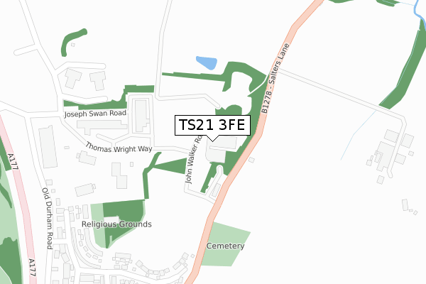
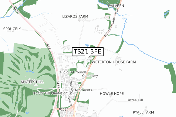
TS21 3FE is located in the Sedgefield electoral ward, within the unitary authority of County Durham and the English Parliamentary constituency of Sedgefield. The Sub Integrated Care Board (ICB) Location is NHS North East and North Cumbria ICB - 84H and the police force is Durham. This postcode has been in use since January 2018.


GetTheData
Source: OS Open Zoomstack (Ordnance Survey)
Licence: Open Government Licence (requires attribution)
Attribution: Contains OS data © Crown copyright and database right 2025
Source: Open Postcode Geo
Licence: Open Government Licence (requires attribution)
Attribution: Contains OS data © Crown copyright and database right 2025; Contains Royal Mail data © Royal Mail copyright and database right 2025; Source: Office for National Statistics licensed under the Open Government Licence v.3.0
| Easting | 435746 |
| Northing | 530682 |
| Latitude | 54.669960 |
| Longitude | -1.447279 |
GetTheData
Source: Open Postcode Geo
Licence: Open Government Licence
| Country | England |
| Postcode District | TS21 |
➜ See where TS21 is on a map | |
GetTheData
Source: Land Registry Price Paid Data
Licence: Open Government Licence
| Ward | Sedgefield |
| Constituency | Sedgefield |
GetTheData
Source: ONS Postcode Database
Licence: Open Government Licence
| Cottages (B1278 Salters Lane) | Sedgefield | 100m |
| Cottages (B1278 Salters Lane) | Sedgefield | 150m |
| Winterton South East Lodge (B1278 Salters Lane) | Sedgefield | 313m |
| Old Community Hospital (B1278 Salters Lane) | Sedgefield | 332m |
| Winterton South East Lodge (B1278 Salters Lane) | Sedgefield | 410m |
GetTheData
Source: NaPTAN
Licence: Open Government Licence
GetTheData
Source: ONS Postcode Database
Licence: Open Government Licence


➜ Get more ratings from the Food Standards Agency
GetTheData
Source: Food Standards Agency
Licence: FSA terms & conditions
| Last Collection | |||
|---|---|---|---|
| Location | Mon-Fri | Sat | Distance |
| South East Lodge, Sedgefield | 17:00 | 10:00 | 369m |
| Post Office, Front Street | 17:00 | 12:00 | 1,564m |
| Post Office, Rectory Row | 17:00 | 12:15 | 1,820m |
GetTheData
Source: Dracos
Licence: Creative Commons Attribution-ShareAlike
The below table lists the International Territorial Level (ITL) codes (formerly Nomenclature of Territorial Units for Statistics (NUTS) codes) and Local Administrative Units (LAU) codes for TS21 3FE:
| ITL 1 Code | Name |
|---|---|
| TLC | North East (England) |
| ITL 2 Code | Name |
| TLC1 | Tees Valley and Durham |
| ITL 3 Code | Name |
| TLC14 | Durham |
| LAU 1 Code | Name |
| E06000047 | County Durham |
GetTheData
Source: ONS Postcode Directory
Licence: Open Government Licence
The below table lists the Census Output Area (OA), Lower Layer Super Output Area (LSOA), and Middle Layer Super Output Area (MSOA) for TS21 3FE:
| Code | Name | |
|---|---|---|
| OA | E00171861 | |
| LSOA | E01020829 | County Durham 054C |
| MSOA | E02004339 | County Durham 054 |
GetTheData
Source: ONS Postcode Directory
Licence: Open Government Licence
| TS21 3DY | 101m | |
| TS21 3NL | St Lukes Crescent | 348m |
| TS21 3DZ | Winterton Cottages | 360m |
| TS21 3NS | Millclose Walk | 402m |
| TS21 3DU | Weterton Farm Cottage | 404m |
| TS21 3NN | Wellgarth Mews | 407m |
| TS21 3NW | Townend | 451m |
| TS21 3DS | 454m | |
| TS21 3NH | Winterton Avenue | 510m |
| TS21 3NP | Turnpike Walk | 515m |
GetTheData
Source: Open Postcode Geo; Land Registry Price Paid Data
Licence: Open Government Licence