TS18 3XA maps, stats, and open data
- Home
- Postcode
- TS
- TS18
- TS18 3
TS18 3XA is located in the Ropner electoral ward, within the unitary authority of Stockton-on-Tees and the English Parliamentary constituency of Stockton South. The Sub Integrated Care Board (ICB) Location is NHS North East and North Cumbria ICB - 16C and the police force is Cleveland. This postcode has been in use since February 2019.
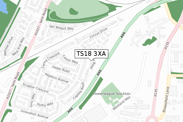
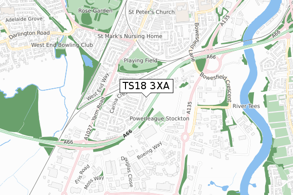
TS18 3XA maps


Source: OS Open Zoomstack (Ordnance Survey)
Licence: Open Government Licence (requires attribution)
Attribution: Contains OS data © Crown copyright and database right 2025
Source: Open Postcode GeoLicence: Open Government Licence (requires attribution)
Attribution: Contains OS data © Crown copyright and database right 2025; Contains Royal Mail data © Royal Mail copyright and database right 2025; Source: Office for National Statistics licensed under the Open Government Licence v.3.0
TS18 3XA geodata
| Easting | 443812 |
| Northing | 517460 |
| Latitude | 54.550513 |
| Longitude | -1.324192 |
Where is TS18 3XA?
| Country | England |
| Postcode District | TS18 |
Politics
| Ward | Ropner |
|---|
| Constituency | Stockton South |
|---|
Transport
Nearest bus stops to TS18 3XA
| Eaglescliffe Hotel (Yarm Road) | Stockton | 331m |
| Eaglescliffe Hotel (Yarm Road) | Stockton | 353m |
| Hartburn Lane (Yarm Road) | Stockton | 428m |
| Hartburn Lane (Yarm Road) | Stockton | 442m |
| Hertel (Yarm Road) | Stockton | 454m |
Nearest railway stations to TS18 3XA
| Thornaby Station | 1.8km |
| Stockton Station | 2.2km |
| Eaglescliffe Station | 2.9km |
Broadband
Broadband access in TS18 3XA (2020 data)
| Percentage of properties with Next Generation Access | 100.0% |
| Percentage of properties with Superfast Broadband | 100.0% |
| Percentage of properties with Ultrafast Broadband | 0.0% |
| Percentage of properties with Full Fibre Broadband | 0.0% |
Superfast Broadband is between 30Mbps and 300Mbps
Ultrafast Broadband is > 300Mbps
Broadband limitations in TS18 3XA (2020 data)
| Percentage of properties unable to receive 2Mbps | 0.0% |
| Percentage of properties unable to receive 5Mbps | 0.0% |
| Percentage of properties unable to receive 10Mbps | 0.0% |
| Percentage of properties unable to receive 30Mbps | 0.0% |
Deprivation
63.7% of English postcodes are less deprived than
TS18 3XA:
Food Standards Agency
Three nearest food hygiene ratings to TS18 3XA (metres)
Makro
Soccer Sensations Teesside Ltd
The Pitstop Diner
➜ Get more ratings from the Food Standards Agency
Nearest post box to TS18 3XA
| | Last Collection | |
|---|
| Location | Mon-Fri | Sat | Distance |
|---|
| Falcon Court | 16:45 | 12:45 | 409m |
| Moss Way | 17:30 | 12:45 | 997m |
| Skinner Street | 18:30 | 12:30 | 1,285m |
TS18 3XA ITL and TS18 3XA LAU
The below table lists the International Territorial Level (ITL) codes (formerly Nomenclature of Territorial Units for Statistics (NUTS) codes) and Local Administrative Units (LAU) codes for TS18 3XA:
| ITL 1 Code | Name |
|---|
| TLC | North East (England) |
| ITL 2 Code | Name |
|---|
| TLC1 | Tees Valley and Durham |
| ITL 3 Code | Name |
|---|
| TLC11 | Hartlepool and Stockton-on-Tees |
| LAU 1 Code | Name |
|---|
| E06000004 | Stockton-on-Tees |
TS18 3XA census areas
The below table lists the Census Output Area (OA), Lower Layer Super Output Area (LSOA), and Middle Layer Super Output Area (MSOA) for TS18 3XA:
| Code | Name |
|---|
| OA | E00174152 | |
|---|
| LSOA | E01012264 | Stockton-on-Tees 014C |
|---|
| MSOA | E02002548 | Stockton-on-Tees 014 |
|---|
Nearest postcodes to TS18 3XA


