TS17 5FQ maps, stats, and open data
- Home
- Postcode
- TS
- TS17
- TS17 5
TS17 5FQ is located in the Ingleby Barwick North electoral ward, within the unitary authority of Stockton-on-Tees and the English Parliamentary constituency of Stockton South. The Sub Integrated Care Board (ICB) Location is NHS North East and North Cumbria ICB - 16C and the police force is Cleveland. This postcode has been in use since March 2018.
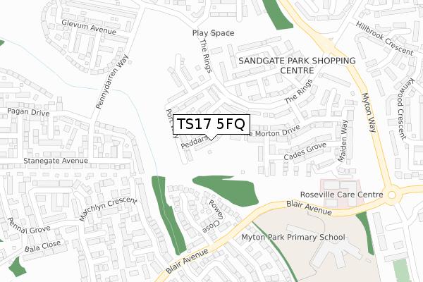
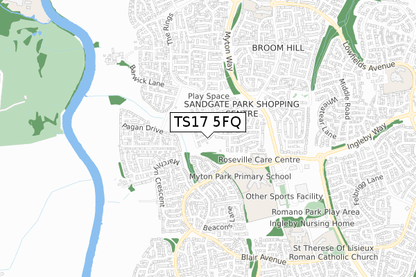
TS17 5FQ maps


Source: OS Open Zoomstack (Ordnance Survey)
Licence: Open Government Licence (requires attribution)
Attribution: Contains OS data © Crown copyright and database right 2025
Source: Open Postcode GeoLicence: Open Government Licence (requires attribution)
Attribution: Contains OS data © Crown copyright and database right 2025; Contains Royal Mail data © Royal Mail copyright and database right 2025; Source: Office for National Statistics licensed under the Open Government Licence v.3.0
TS17 5FQ geodata
| Easting | 443764 |
| Northing | 514125 |
| Latitude | 54.520548 |
| Longitude | -1.325429 |
Where is TS17 5FQ?
| Country | England |
| Postcode District | TS17 |
Politics
| Ward | Ingleby Barwick North |
|---|
| Constituency | Stockton South |
|---|
Transport
Nearest bus stops to TS17 5FQ
| Snowdon Grove (Blair Avenue) | Ingleby Barwick | 227m |
| Snowdon Grove (Blair Avenue) | Ingleby Barwick | 271m |
| All Saints School (Blair Avenue) | Ingleby Barwick | 361m |
| All Saints School (Blair Avenue) | Ingleby Barwick | 394m |
| Penderyn Crescent (Blair Avenue) | Ingleby Barwick | 523m |
Nearest railway stations to TS17 5FQ
| Eaglescliffe Station | 1.8km |
| Allens West Station | 2.4km |
| Yarm Station | 3.4km |
Broadband
Broadband access in TS17 5FQ (2020 data)
| Percentage of properties with Next Generation Access | 100.0% |
| Percentage of properties with Superfast Broadband | 100.0% |
| Percentage of properties with Ultrafast Broadband | 17.6% |
| Percentage of properties with Full Fibre Broadband | 17.6% |
Superfast Broadband is between 30Mbps and 300Mbps
Ultrafast Broadband is > 300Mbps
Broadband limitations in TS17 5FQ (2020 data)
| Percentage of properties unable to receive 2Mbps | 0.0% |
| Percentage of properties unable to receive 5Mbps | 0.0% |
| Percentage of properties unable to receive 10Mbps | 0.0% |
| Percentage of properties unable to receive 30Mbps | 0.0% |
Deprivation
10.7% of English postcodes are less deprived than
TS17 5FQ:
Food Standards Agency
Three nearest food hygiene ratings to TS17 5FQ (metres)
Hungry Jacks
Unit 2 Sandgate Park Shopping Centre
289m
Peri Peri Hermano's
Unit 7 Sandgate Park Shopping Centre
289m
The Three Rivers
Unit 9 Sandgate Park Shopping Centre
289m
➜ Get more ratings from the Food Standards Agency
Nearest post box to TS17 5FQ
| | Last Collection | |
|---|
| Location | Mon-Fri | Sat | Distance |
|---|
| Chaldron Way, Eaglescliffe | 17:45 | 12:00 | 1,005m |
| Blair Avenue, Thornaby | 17:15 | 12:15 | 1,048m |
| Lowfields Post Office | 17:15 | 12:00 | 1,147m |
TS17 5FQ ITL and TS17 5FQ LAU
The below table lists the International Territorial Level (ITL) codes (formerly Nomenclature of Territorial Units for Statistics (NUTS) codes) and Local Administrative Units (LAU) codes for TS17 5FQ:
| ITL 1 Code | Name |
|---|
| TLC | North East (England) |
| ITL 2 Code | Name |
|---|
| TLC1 | Tees Valley and Durham |
| ITL 3 Code | Name |
|---|
| TLC11 | Hartlepool and Stockton-on-Tees |
| LAU 1 Code | Name |
|---|
| E06000004 | Stockton-on-Tees |
TS17 5FQ census areas
The below table lists the Census Output Area (OA), Lower Layer Super Output Area (LSOA), and Middle Layer Super Output Area (MSOA) for TS17 5FQ:
| Code | Name |
|---|
| OA | E00174137 | |
|---|
| LSOA | E01033474 | Stockton-on-Tees 023F |
|---|
| MSOA | E02002557 | Stockton-on-Tees 023 |
|---|
Nearest postcodes to TS17 5FQ


