Property/Postcode Data Search:
TQ9 7FL maps, stats, and open data
TQ9 7FL is located in the West Dart electoral ward, within the local authority district of South Hams and the English Parliamentary constituency of Totnes. The Sub Integrated Care Board (ICB) Location is NHS Devon ICB - 15N and the police force is Devon & Cornwall. This postcode has been in use since November 2017.
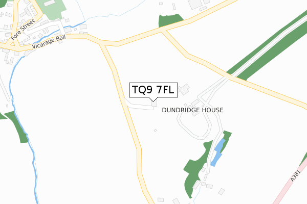
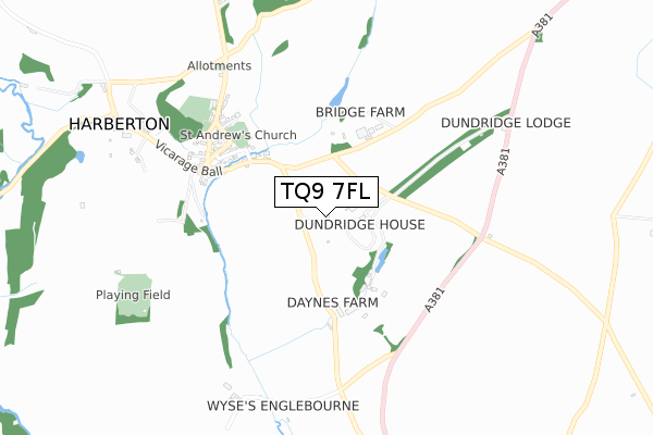
TQ9 7FL maps


Source: OS Open Zoomstack (Ordnance Survey)
Licence: Open Government Licence (requires attribution)
Attribution: Contains OS data © Crown copyright and database right 2025
Source: Open Postcode Geo
Licence: Open Government Licence (requires attribution)
Attribution: Contains OS data © Crown copyright and database right 2025; Contains Royal Mail data © Royal Mail copyright and database right 2025; Source: Office for National Statistics licensed under the Open Government Licence v.3.0
Licence: Open Government Licence (requires attribution)
Attribution: Contains OS data © Crown copyright and database right 2025
Source: Open Postcode Geo
Licence: Open Government Licence (requires attribution)
Attribution: Contains OS data © Crown copyright and database right 2025; Contains Royal Mail data © Royal Mail copyright and database right 2025; Source: Office for National Statistics licensed under the Open Government Licence v.3.0
TQ9 7FL geodata
| Easting | 278169 |
| Northing | 58323 |
| Latitude | 50.412091 |
| Longitude | -3.716031 |
Where is TQ9 7FL?
| Country | England |
| Postcode District | TQ9 |
Politics
| Ward | West Dart |
|---|---|
| Constituency | Totnes |
Transport
Nearest bus stops to TQ9 7FL
| Shelter (Vicarage Ball) | Harberton | 501m |
| Peak Cross (A381) | Harberton | 1,089m |
| Peak Cross (A381) | Harberton | 1,089m |
Nearest railway stations to TQ9 7FL
| Totnes Station | 3.3km |
Deprivation
45.4% of English postcodes are less deprived than TQ9 7FL:Food Standards Agency
Three nearest food hygiene ratings to TQ9 7FL (metres)
Harbourne Filling Station
Harbourne Filling Station
1,989m
Harbourne Filling Station
Harbourne Filling Station
1,989m
➜ Get more ratings from the Food Standards Agency
Nearest post box to TQ9 7FL
| Last Collection | |||
|---|---|---|---|
| Location | Mon-Fri | Sat | Distance |
| Dundridge | 17:45 | 07:15 | 283m |
| Harberton Village | 17:45 | 07:15 | 466m |
| Harberton Vicarage | 17:45 | 07:15 | 751m |
TQ9 7FL ITL and TQ9 7FL LAU
The below table lists the International Territorial Level (ITL) codes (formerly Nomenclature of Territorial Units for Statistics (NUTS) codes) and Local Administrative Units (LAU) codes for TQ9 7FL:
| ITL 1 Code | Name |
|---|---|
| TLK | South West (England) |
| ITL 2 Code | Name |
| TLK4 | Devon |
| ITL 3 Code | Name |
| TLK43 | Devon CC |
| LAU 1 Code | Name |
| E07000044 | South Hams |
TQ9 7FL census areas
The below table lists the Census Output Area (OA), Lower Layer Super Output Area (LSOA), and Middle Layer Super Output Area (MSOA) for TQ9 7FL:
| Code | Name | |
|---|---|---|
| OA | E00102006 | |
| LSOA | E01020143 | South Hams 006B |
| MSOA | E02004194 | South Hams 006 |
Nearest postcodes to TQ9 7FL
| TQ9 7PP | 98m | |
| TQ9 7PL | Dundridge Estate | 134m |
| TQ9 7PT | Dundridge Mews | 139m |
| TQ9 7TW | Meadow Close | 340m |
| TQ9 7SJ | 385m | |
| TQ9 7SH | 410m | |
| TQ9 7SQ | 458m | |
| TQ9 7SF | 466m | |
| TQ9 7UG | Church Court | 503m |
| TQ9 7SG | 504m |