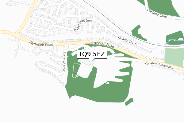
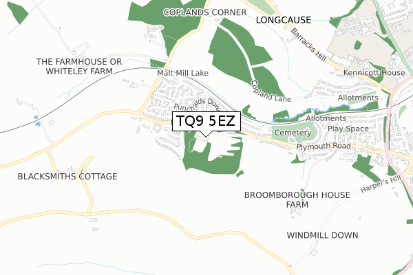
TQ9 5EZ is located in the Totnes electoral ward, within the local authority district of South Hams and the English Parliamentary constituency of Totnes. The Sub Integrated Care Board (ICB) Location is NHS Devon ICB - 15N and the police force is Devon & Cornwall. This postcode has been in use since November 2017.


GetTheData
Source: OS Open Zoomstack (Ordnance Survey)
Licence: Open Government Licence (requires attribution)
Attribution: Contains OS data © Crown copyright and database right 2025
Source: Open Postcode Geo
Licence: Open Government Licence (requires attribution)
Attribution: Contains OS data © Crown copyright and database right 2025; Contains Royal Mail data © Royal Mail copyright and database right 2025; Source: Office for National Statistics licensed under the Open Government Licence v.3.0
| Easting | 278709 |
| Northing | 60475 |
| Latitude | 50.431548 |
| Longitude | -3.709131 |
GetTheData
Source: Open Postcode Geo
Licence: Open Government Licence
| Country | England |
| Postcode District | TQ9 |
➜ See where TQ9 is on a map ➜ Where is Totnes? | |
GetTheData
Source: Land Registry Price Paid Data
Licence: Open Government Licence
| Ward | Totnes |
| Constituency | Totnes |
GetTheData
Source: ONS Postcode Database
Licence: Open Government Licence
| District Council Offices | Follaton | 69m |
| Follaton House (Follaton Road) | Follaton | 118m |
| Follaton House (Follaton Road) | Follaton | 118m |
| Punchards Down | Follaton | 222m |
| Punchards Down | Follaton | 228m |
| Totnes Station | 1.5km |
GetTheData
Source: NaPTAN
Licence: Open Government Licence
GetTheData
Source: ONS Postcode Database
Licence: Open Government Licence

➜ Get more ratings from the Food Standards Agency
GetTheData
Source: Food Standards Agency
Licence: FSA terms & conditions
| Last Collection | |||
|---|---|---|---|
| Location | Mon-Fri | Sat | Distance |
| Barracks Hill | 17:20 | 07:15 | 894m |
| The Vicarage | 17:30 | 12:00 | 991m |
| High Street Post Office | 18:00 | 12:15 | 1,246m |
GetTheData
Source: Dracos
Licence: Creative Commons Attribution-ShareAlike
The below table lists the International Territorial Level (ITL) codes (formerly Nomenclature of Territorial Units for Statistics (NUTS) codes) and Local Administrative Units (LAU) codes for TQ9 5EZ:
| ITL 1 Code | Name |
|---|---|
| TLK | South West (England) |
| ITL 2 Code | Name |
| TLK4 | Devon |
| ITL 3 Code | Name |
| TLK43 | Devon CC |
| LAU 1 Code | Name |
| E07000044 | South Hams |
GetTheData
Source: ONS Postcode Directory
Licence: Open Government Licence
The below table lists the Census Output Area (OA), Lower Layer Super Output Area (LSOA), and Middle Layer Super Output Area (MSOA) for TQ9 5EZ:
| Code | Name | |
|---|---|---|
| OA | E00102236 | |
| LSOA | E01020182 | South Hams 003C |
| MSOA | E02004191 | South Hams 003 |
GetTheData
Source: ONS Postcode Directory
Licence: Open Government Licence
| TQ9 5FG | Bridge Road | 185m |
| TQ9 5FE | Plantation Way | 189m |
| TQ9 5FA | Quarry Close | 195m |
| TQ9 5FB | Punchards Down | 205m |
| TQ9 5ND | Follaton | 213m |
| TQ9 5FD | Punchards Down | 214m |
| TQ9 5NB | Follaton | 227m |
| TQ9 5FF | Wall Park | 248m |
| TQ9 5FH | Brook View | 267m |
| TQ9 5FP | Shorts Way | 274m |
GetTheData
Source: Open Postcode Geo; Land Registry Price Paid Data
Licence: Open Government Licence