TQ3 2EA maps, stats, and open data
- Home
- Postcode
- TQ
- TQ3
- TQ3 2
TQ3 2EA is located in the Preston electoral ward, within the unitary authority of Torbay and the English Parliamentary constituency of Torbay. The Sub Integrated Care Board (ICB) Location is NHS Devon ICB - 15N and the police force is Devon & Cornwall. This postcode has been in use since October 2017.
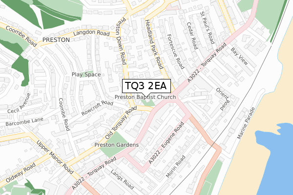
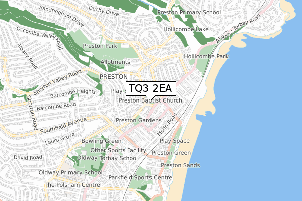
TQ3 2EA maps


Source: OS Open Zoomstack (Ordnance Survey)
Licence: Open Government Licence (requires attribution)
Attribution: Contains OS data © Crown copyright and database right 2025
Source: Open Postcode GeoLicence: Open Government Licence (requires attribution)
Attribution: Contains OS data © Crown copyright and database right 2025; Contains Royal Mail data © Royal Mail copyright and database right 2025; Source: Office for National Statistics licensed under the Open Government Licence v.3.0
TQ3 2EA geodata
| Easting | 289232 |
| Northing | 61992 |
| Latitude | 50.447268 |
| Longitude | -3.561475 |
Where is TQ3 2EA?
| Country | England |
| Postcode District | TQ3 |
Politics
| Ward | Preston |
|---|
| Constituency | Torbay |
|---|
Transport
Nearest bus stops to TQ3 2EA
| Rowcroft Road | Preston | 49m |
| Rowcroft Road | Preston | 65m |
| Shelter (Torquay Road) | Preston | 148m |
| Headland Grove (Headland Park Road) | Preston | 180m |
| Headland Grove (Headland Park Road) | Preston | 180m |
Nearest underground/metro/tram to TQ3 2EA
| Paignton (Paignton And Dartmouth Railway) (Great Western Road) | Paignton | 1,421m |
Nearest railway stations to TQ3 2EA
| Paignton Station | 1.4km |
| Torquay Station | 2km |
| Torre Station | 3.1km |
Broadband
Broadband access in TQ3 2EA (2020 data)
| Percentage of properties with Next Generation Access | 0.0% |
| Percentage of properties with Superfast Broadband | 0.0% |
| Percentage of properties with Ultrafast Broadband | 0.0% |
| Percentage of properties with Full Fibre Broadband | 0.0% |
Superfast Broadband is between 30Mbps and 300Mbps
Ultrafast Broadband is > 300Mbps
Broadband limitations in TQ3 2EA (2020 data)
| Percentage of properties unable to receive 2Mbps | 0.0% |
| Percentage of properties unable to receive 5Mbps | 0.0% |
| Percentage of properties unable to receive 10Mbps | 0.0% |
| Percentage of properties unable to receive 30Mbps | 100.0% |
Deprivation
80% of English postcodes are less deprived than
TQ3 2EA:
Food Standards Agency
Three nearest food hygiene ratings to TQ3 2EA (metres)
Torbay Thai Takeaway
Preston Community Preschool
Preston Baptist Church
104m
Garden Cafe
Preston Baptist Church
104m
➜ Get more ratings from the Food Standards Agency
Nearest post box to TQ3 2EA
| | Last Collection | |
|---|
| Location | Mon-Fri | Sat | Distance |
|---|
| Preston Post Office | 17:00 | 12:00 | 174m |
| Langdon Road | 17:30 | 12:30 | 227m |
| Barcombe Lodge | 17:30 | 12:15 | 339m |
TQ3 2EA ITL and TQ3 2EA LAU
The below table lists the International Territorial Level (ITL) codes (formerly Nomenclature of Territorial Units for Statistics (NUTS) codes) and Local Administrative Units (LAU) codes for TQ3 2EA:
| ITL 1 Code | Name |
|---|
| TLK | South West (England) |
| ITL 2 Code | Name |
|---|
| TLK4 | Devon |
| ITL 3 Code | Name |
|---|
| TLK42 | Torbay |
| LAU 1 Code | Name |
|---|
| E06000027 | Torbay |
TQ3 2EA census areas
The below table lists the Census Output Area (OA), Lower Layer Super Output Area (LSOA), and Middle Layer Super Output Area (MSOA) for TQ3 2EA:
| Code | Name |
|---|
| OA | E00076945 | |
|---|
| LSOA | E01015228 | Torbay 011E |
|---|
| MSOA | E02003164 | Torbay 011 |
|---|
Nearest postcodes to TQ3 2EA


