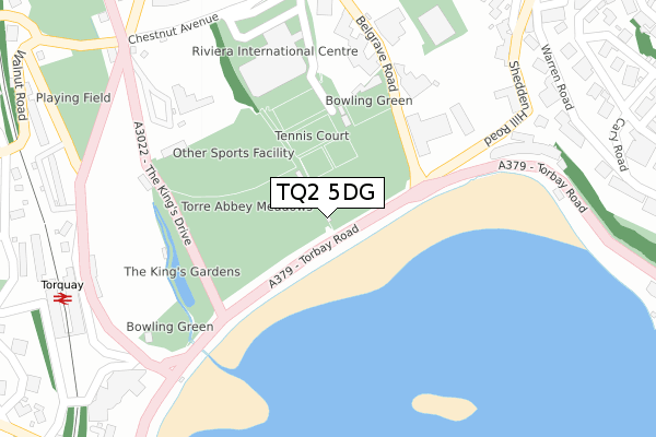
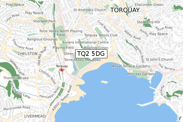
TQ2 5DG is located in the Tormohun electoral ward, within the unitary authority of Torbay and the English Parliamentary constituency of Torbay. The Sub Integrated Care Board (ICB) Location is NHS Devon ICB - 15N and the police force is Devon & Cornwall. This postcode has been in use since March 2018.


GetTheData
Source: OS Open Zoomstack (Ordnance Survey)
Licence: Open Government Licence (requires attribution)
Attribution: Contains OS data © Crown copyright and database right 2025
Source: Open Postcode Geo
Licence: Open Government Licence (requires attribution)
Attribution: Contains OS data © Crown copyright and database right 2025; Contains Royal Mail data © Royal Mail copyright and database right 2025; Source: Office for National Statistics licensed under the Open Government Licence v.3.0
| Easting | 290957 |
| Northing | 63639 |
| Latitude | 50.462398 |
| Longitude | -3.537668 |
GetTheData
Source: Open Postcode Geo
Licence: Open Government Licence
| Country | England |
| Postcode District | TQ2 |
➜ See where TQ2 is on a map ➜ Where is Torquay? | |
GetTheData
Source: Land Registry Price Paid Data
Licence: Open Government Licence
| Ward | Tormohun |
| Constituency | Torbay |
GetTheData
Source: ONS Postcode Database
Licence: Open Government Licence
| Torre Abbey Sands (Torbay Road) | Torquay | 47m |
| Torre Abbey Meadows (Torbay Road) | Torquay | 93m |
| Kistor Hotel (Belgrave Road) | Torquay | 194m |
| English Riviera Centre (Belgrave Road) | Torquay | 203m |
| Grand Hotel (Rathmore Road) | Torquay | 293m |
| Torquay Station | 0.4km |
| Torre Station | 1.4km |
| Paignton Station | 3.6km |
GetTheData
Source: NaPTAN
Licence: Open Government Licence
GetTheData
Source: ONS Postcode Database
Licence: Open Government Licence


➜ Get more ratings from the Food Standards Agency
GetTheData
Source: Food Standards Agency
Licence: FSA terms & conditions
| Last Collection | |||
|---|---|---|---|
| Location | Mon-Fri | Sat | Distance |
| Recreation Ground | 17:30 | 12:15 | 321m |
| Croft Road | 18:00 | 12:45 | 500m |
| Princess Pier | 17:15 | 11:45 | 547m |
GetTheData
Source: Dracos
Licence: Creative Commons Attribution-ShareAlike
The below table lists the International Territorial Level (ITL) codes (formerly Nomenclature of Territorial Units for Statistics (NUTS) codes) and Local Administrative Units (LAU) codes for TQ2 5DG:
| ITL 1 Code | Name |
|---|---|
| TLK | South West (England) |
| ITL 2 Code | Name |
| TLK4 | Devon |
| ITL 3 Code | Name |
| TLK42 | Torbay |
| LAU 1 Code | Name |
| E06000027 | Torbay |
GetTheData
Source: ONS Postcode Directory
Licence: Open Government Licence
The below table lists the Census Output Area (OA), Lower Layer Super Output Area (LSOA), and Middle Layer Super Output Area (MSOA) for TQ2 5DG:
| Code | Name | |
|---|---|---|
| OA | E00077111 | |
| LSOA | E01015261 | Torbay 008D |
| MSOA | E02003161 | Torbay 008 |
GetTheData
Source: ONS Postcode Directory
Licence: Open Government Licence
| TQ2 5HP | Belgrave Road | 300m |
| TQ2 5FB | Abbey Crescent | 310m |
| TQ2 5TY | Shedden Hill | 341m |
| TQ2 5HB | Abbey Crescent | 346m |
| TQ2 5TX | Shedden Hill | 369m |
| TQ2 5TR | Warren Road | 387m |
| TQ2 5TT | Warren Road | 391m |
| TQ2 5TU | Warren Road | 410m |
| TQ2 5JY | Walnut Road | 418m |
| TQ2 5UB | Warren Road | 428m |
GetTheData
Source: Open Postcode Geo; Land Registry Price Paid Data
Licence: Open Government Licence