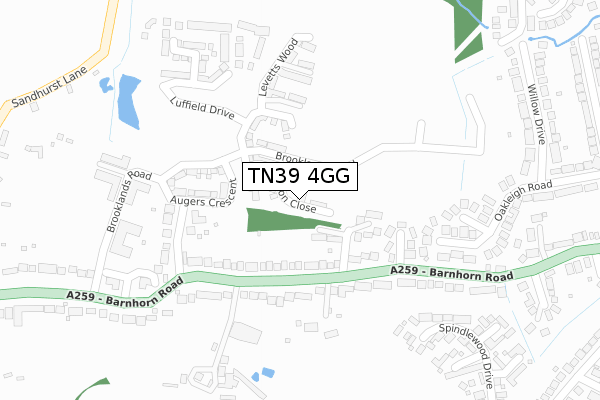
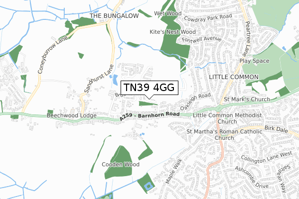
TN39 4GG is located in the Bexhill St Marks electoral ward, within the local authority district of Rother and the English Parliamentary constituency of Bexhill and Battle. The Sub Integrated Care Board (ICB) Location is NHS Sussex ICB - 97R and the police force is Sussex. This postcode has been in use since April 2019.


GetTheData
Source: OS Open Zoomstack (Ordnance Survey)
Licence: Open Government Licence (requires attribution)
Attribution: Contains OS data © Crown copyright and database right 2025
Source: Open Postcode Geo
Licence: Open Government Licence (requires attribution)
Attribution: Contains OS data © Crown copyright and database right 2025; Contains Royal Mail data © Royal Mail copyright and database right 2025; Source: Office for National Statistics licensed under the Open Government Licence v.3.0
| Easting | 570871 |
| Northing | 107963 |
| Latitude | 50.845953 |
| Longitude | 0.425823 |
GetTheData
Source: Open Postcode Geo
Licence: Open Government Licence
| Country | England |
| Postcode District | TN39 |
➜ See where TN39 is on a map ➜ Where is Bexhill? | |
GetTheData
Source: Land Registry Price Paid Data
Licence: Open Government Licence
| Ward | Bexhill St Marks |
| Constituency | Bexhill And Battle |
GetTheData
Source: ONS Postcode Database
Licence: Open Government Licence
| The Broadwalk (Barnhorn Road) | Little Common | 151m |
| The Broadwalk (Barnhorn Road) | Little Common | 181m |
| Howards Crescent (Barnhorn Road) | Little Common | 203m |
| Howards Crescent (Barnhorn Road) | Little Common | 272m |
| Sandhurst Lane (Barnhorn Road) | Little Common | 495m |
| Cooden Beach Station | 1.4km |
| Collington Station | 2.4km |
| Normans Bay Station | 3.4km |
GetTheData
Source: NaPTAN
Licence: Open Government Licence
| Percentage of properties with Next Generation Access | 100.0% |
| Percentage of properties with Superfast Broadband | 100.0% |
| Percentage of properties with Ultrafast Broadband | 100.0% |
| Percentage of properties with Full Fibre Broadband | 100.0% |
Superfast Broadband is between 30Mbps and 300Mbps
Ultrafast Broadband is > 300Mbps
| Percentage of properties unable to receive 2Mbps | 0.0% |
| Percentage of properties unable to receive 5Mbps | 0.0% |
| Percentage of properties unable to receive 10Mbps | 0.0% |
| Percentage of properties unable to receive 30Mbps | 0.0% |
GetTheData
Source: Ofcom
Licence: Ofcom Terms of Use (requires attribution)
GetTheData
Source: ONS Postcode Database
Licence: Open Government Licence


➜ Get more ratings from the Food Standards Agency
GetTheData
Source: Food Standards Agency
Licence: FSA terms & conditions
| Last Collection | |||
|---|---|---|---|
| Location | Mon-Fri | Sat | Distance |
| Barnhorn Road | 17:30 | 12:00 | 164m |
| Sandhurst Lane | 17:30 | 09:00 | 569m |
| Little Common Post Office | 17:00 | 12:00 | 576m |
GetTheData
Source: Dracos
Licence: Creative Commons Attribution-ShareAlike
The below table lists the International Territorial Level (ITL) codes (formerly Nomenclature of Territorial Units for Statistics (NUTS) codes) and Local Administrative Units (LAU) codes for TN39 4GG:
| ITL 1 Code | Name |
|---|---|
| TLJ | South East (England) |
| ITL 2 Code | Name |
| TLJ2 | Surrey, East and West Sussex |
| ITL 3 Code | Name |
| TLJ22 | East Sussex CC |
| LAU 1 Code | Name |
| E07000064 | Rother |
GetTheData
Source: ONS Postcode Directory
Licence: Open Government Licence
The below table lists the Census Output Area (OA), Lower Layer Super Output Area (LSOA), and Middle Layer Super Output Area (MSOA) for TN39 4GG:
| Code | Name | |
|---|---|---|
| OA | E00107310 | |
| LSOA | E01021124 | Rother 009D |
| MSOA | E02004400 | Rother 009 |
GetTheData
Source: ONS Postcode Directory
Licence: Open Government Licence
| TN39 4JX | Kites Nest Walk | 97m |
| TN39 4QH | Howards Crescent | 141m |
| TN39 4QA | Barnhorn Road | 161m |
| TN39 4QB | Barnhorn Road | 229m |
| TN39 4QU | Barnhorn Road | 234m |
| TN39 4PZ | Sycamore Close | 238m |
| TN39 4QJ | The Broad Walk | 249m |
| TN39 4PY | Oakleigh Road | 285m |
| TN39 4RS | Spindlewood Drive | 310m |
| TN39 4QQ | Barnhorn Road | 311m |
GetTheData
Source: Open Postcode Geo; Land Registry Price Paid Data
Licence: Open Government Licence