TN23 7AE maps, stats, and open data
- Home
- Postcode
- TN
- TN23
- TN23 7
TN23 7AE is located in the Victoria electoral ward, within the local authority district of Ashford and the English Parliamentary constituency of Ashford. The Sub Integrated Care Board (ICB) Location is NHS Kent and Medway ICB - 91Q and the police force is Kent. This postcode has been in use since September 2018.
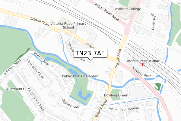
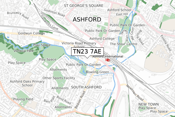
TN23 7AE maps


Source: OS Open Zoomstack (Ordnance Survey)
Licence: Open Government Licence (requires attribution)
Attribution: Contains OS data © Crown copyright and database right 2025
Source: Open Postcode GeoLicence: Open Government Licence (requires attribution)
Attribution: Contains OS data © Crown copyright and database right 2025; Contains Royal Mail data © Royal Mail copyright and database right 2025; Source: Office for National Statistics licensed under the Open Government Licence v.3.0
TN23 7AE geodata
| Easting | 600911 |
| Northing | 142158 |
| Latitude | 51.143421 |
| Longitude | 0.870906 |
Where is TN23 7AE?
| Country | England |
| Postcode District | TN23 |
Politics
| Ward | Victoria |
|---|
| Constituency | Ashford |
|---|
Transport
Nearest bus stops to TN23 7AE
| Beaver Road Bridge (Beaver Road) | Ashford | 177m |
| Beaver Road Bridge (Beaver Road) | Ashford | 231m |
| John Wallis Square (Victoria Way) | South Ashford | 235m |
| Elwick Road | Ashford | 273m |
| John Wallis Square (Victoria Way) | South Ashford | 327m |
Nearest railway stations to TN23 7AE
| Ashford International Station | 0.4km |
| Wye Station | 6.2km |
Broadband
Broadband access in TN23 7AE (2020 data)
| Percentage of properties with Next Generation Access | 100.0% |
| Percentage of properties with Superfast Broadband | 100.0% |
| Percentage of properties with Ultrafast Broadband | 100.0% |
| Percentage of properties with Full Fibre Broadband | 100.0% |
Superfast Broadband is between 30Mbps and 300Mbps
Ultrafast Broadband is > 300Mbps
Broadband limitations in TN23 7AE (2020 data)
| Percentage of properties unable to receive 2Mbps | 0.0% |
| Percentage of properties unable to receive 5Mbps | 0.0% |
| Percentage of properties unable to receive 10Mbps | 0.0% |
| Percentage of properties unable to receive 30Mbps | 0.0% |
Deprivation
69.5% of English postcodes are less deprived than
TN23 7AE:
Food Standards Agency
Three nearest food hygiene ratings to TN23 7AE (metres)
Cafe Grace
Unit B Bridgewater House 4 Victoria Road
63m
Hampton by Hilton Ashford Int
Aldi
Unit 1B Victoria Road
124m
➜ Get more ratings from the Food Standards Agency
Nearest post box to TN23 7AE
| | Last Collection | |
|---|
| Location | Mon-Fri | Sat | Distance |
|---|
| Church Road | 18:30 | 12:00 | 380m |
| Christchurch Road | 17:15 | 12:30 | 381m |
| South Ashford Post Office | 18:30 | 12:30 | 386m |
TN23 7AE ITL and TN23 7AE LAU
The below table lists the International Territorial Level (ITL) codes (formerly Nomenclature of Territorial Units for Statistics (NUTS) codes) and Local Administrative Units (LAU) codes for TN23 7AE:
| ITL 1 Code | Name |
|---|
| TLJ | South East (England) |
| ITL 2 Code | Name |
|---|
| TLJ4 | Kent |
| ITL 3 Code | Name |
|---|
| TLJ45 | Mid Kent |
| LAU 1 Code | Name |
|---|
| E07000105 | Ashford |
TN23 7AE census areas
The below table lists the Census Output Area (OA), Lower Layer Super Output Area (LSOA), and Middle Layer Super Output Area (MSOA) for TN23 7AE:
| Code | Name |
|---|
| OA | E00121989 | |
|---|
| LSOA | E01024027 | Ashford 005D |
|---|
| MSOA | E02005000 | Ashford 005 |
|---|
Nearest postcodes to TN23 7AE


