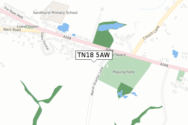
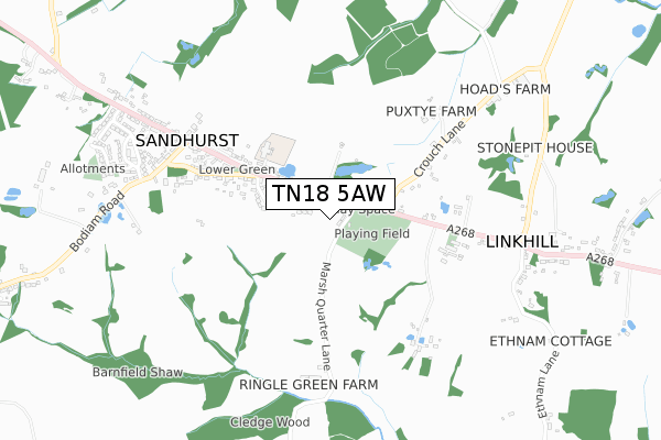
TN18 5AW is located in the Hawkhurst and Sandhurst electoral ward, within the local authority district of Tunbridge Wells and the English Parliamentary constituency of Tunbridge Wells. The Sub Integrated Care Board (ICB) Location is NHS Kent and Medway ICB - 91Q and the police force is Kent. This postcode has been in use since April 2020.


GetTheData
Source: OS Open Zoomstack (Ordnance Survey)
Licence: Open Government Licence (requires attribution)
Attribution: Contains OS data © Crown copyright and database right 2025
Source: Open Postcode Geo
Licence: Open Government Licence (requires attribution)
Attribution: Contains OS data © Crown copyright and database right 2025; Contains Royal Mail data © Royal Mail copyright and database right 2025; Source: Office for National Statistics licensed under the Open Government Licence v.3.0
| Easting | 580386 |
| Northing | 128127 |
| Latitude | 51.024209 |
| Longitude | 0.570812 |
GetTheData
Source: Open Postcode Geo
Licence: Open Government Licence
| Country | England |
| Postcode District | TN18 |
➜ See where TN18 is on a map ➜ Where is Sandhurst? | |
GetTheData
Source: Land Registry Price Paid Data
Licence: Open Government Licence
| Ward | Hawkhurst And Sandhurst |
| Constituency | Tunbridge Wells |
GetTheData
Source: ONS Postcode Database
Licence: Open Government Licence
| Baptist Church (Queen Street) | Linkhill | 483m |
| Baptist Church (Queen Street) | Linkhill | 491m |
| The New Swan (Queen Street) | Sandhurst | 733m |
| The New Swan (Queen Street) | Sandhurst | 733m |
| Lomas Lane (Queen Street) | Linkhill | 1,059m |
GetTheData
Source: NaPTAN
Licence: Open Government Licence
GetTheData
Source: ONS Postcode Database
Licence: Open Government Licence


➜ Get more ratings from the Food Standards Agency
GetTheData
Source: Food Standards Agency
Licence: FSA terms & conditions
| Last Collection | |||
|---|---|---|---|
| Location | Mon-Fri | Sat | Distance |
| Sandhurst Post Office | 17:00 | 10:30 | 684m |
| Sandhurst Cross | 16:45 | 09:30 | 1,657m |
| Field Green | 17:00 | 10:00 | 2,278m |
GetTheData
Source: Dracos
Licence: Creative Commons Attribution-ShareAlike
The below table lists the International Territorial Level (ITL) codes (formerly Nomenclature of Territorial Units for Statistics (NUTS) codes) and Local Administrative Units (LAU) codes for TN18 5AW:
| ITL 1 Code | Name |
|---|---|
| TLJ | South East (England) |
| ITL 2 Code | Name |
| TLJ4 | Kent |
| ITL 3 Code | Name |
| TLJ46 | West Kent |
| LAU 1 Code | Name |
| E07000116 | Tunbridge Wells |
GetTheData
Source: ONS Postcode Directory
Licence: Open Government Licence
The below table lists the Census Output Area (OA), Lower Layer Super Output Area (LSOA), and Middle Layer Super Output Area (MSOA) for TN18 5AW:
| Code | Name | |
|---|---|---|
| OA | E00125933 | |
| LSOA | E01024809 | Tunbridge Wells 014D |
| MSOA | E02005175 | Tunbridge Wells 014 |
GetTheData
Source: ONS Postcode Directory
Licence: Open Government Licence
| TN18 5JH | Ringle Green | 60m |
| TN18 5HZ | Burnt House Close | 104m |
| TN18 5JL | Rye Road | 122m |
| TN18 5JQ | Rye Road | 150m |
| TN18 5JG | Rye Road | 190m |
| TN18 5JJ | Lorry Cottages | 223m |
| TN18 5JN | Oak Cottages | 266m |
| TN18 5JR | Oaks Forstal | 284m |
| TN18 5JE | Rye Road | 372m |
| TN18 5JS | Back Road | 425m |
GetTheData
Source: Open Postcode Geo; Land Registry Price Paid Data
Licence: Open Government Licence